Interurban Trail, North Lost Lake Trail and Fragrance Lake Trail
Download
Preview
Add to list
More
23.6 km
~1 day 1 hrs
844 m
Loop
“"Experience historical intrigue and natural beauty on this 24-kilometer loop trail with 800 meters elevation gain."”
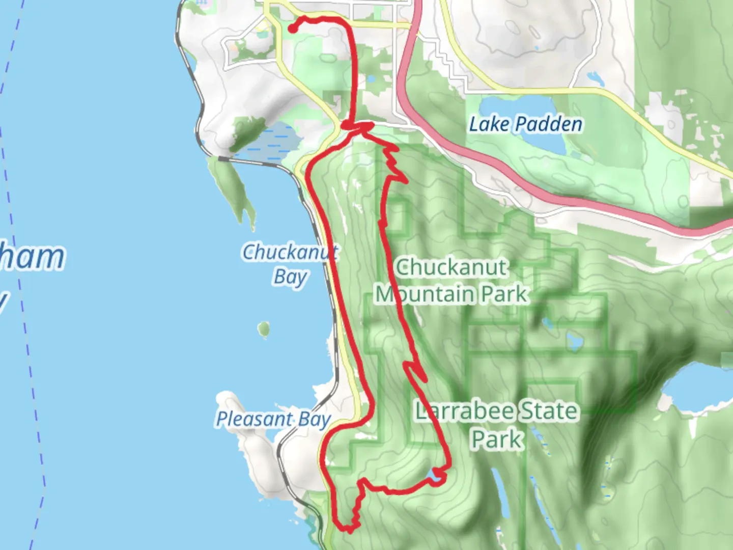
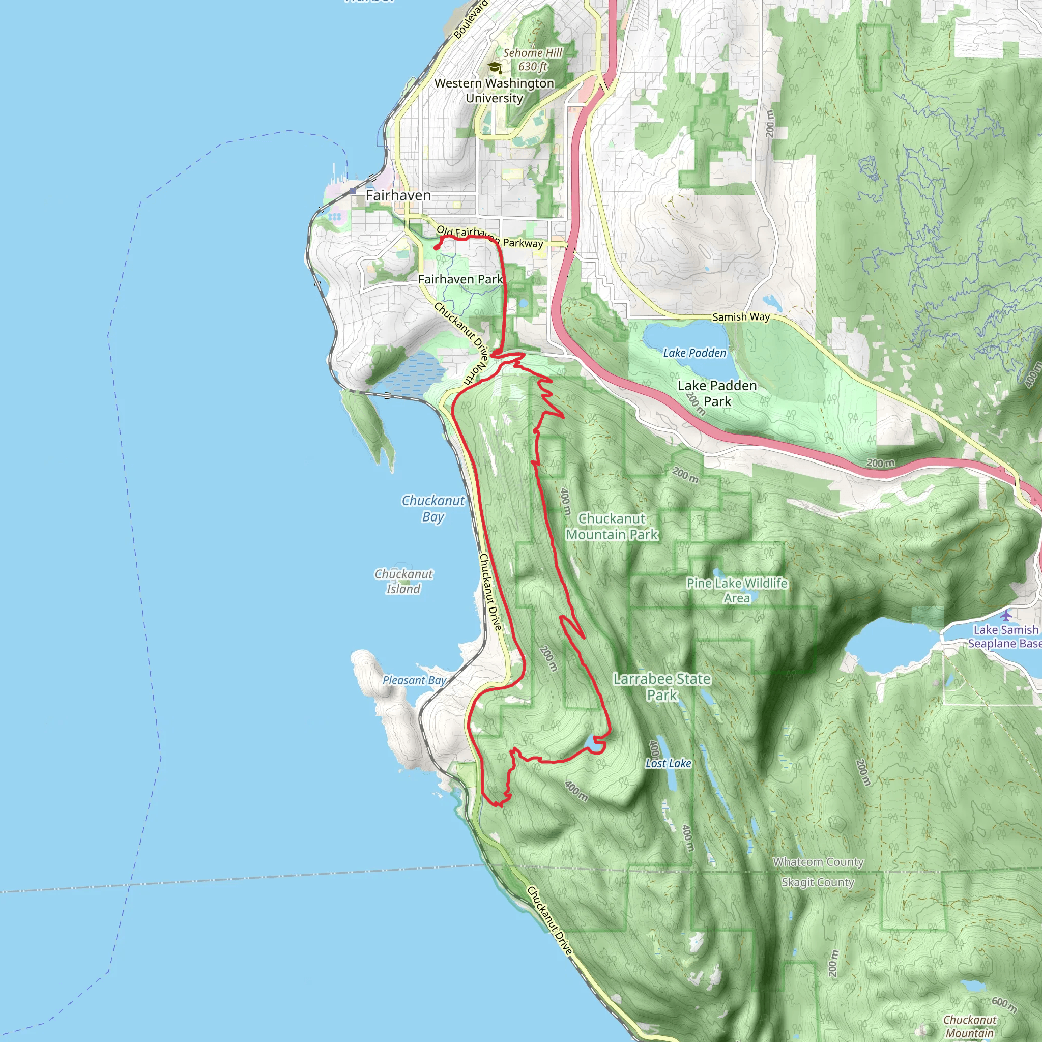
Starting near Whatcom County, Washington, this loop trail spans approximately 24 kilometers (15 miles) with an elevation gain of around 800 meters (2,625 feet). The trailhead is accessible by car, with parking available near the Whatcom Falls Park area. For those using public transport, the nearest bus stop is at Lakeway Drive & Woburn Street, from where you can walk to the trailhead.### Interurban Trail SectionThe Interurban Trail is a well-maintained path that offers a gentle introduction to the loop. This section is relatively flat, making it a good warm-up for the more challenging parts ahead. The trail follows an old railroad grade, providing a historical backdrop as you hike. The Interurban Railway once connected Bellingham to Mount Vernon, and remnants of this bygone era can still be seen along the trail.### North Lost Lake Trail SectionAs you transition to the North Lost Lake Trail, the terrain becomes more rugged and the elevation gain more noticeable. This section takes you through dense forests of Douglas fir and western red cedar. Keep an eye out for local wildlife, including black-tailed deer and various bird species like the pileated woodpecker. The trail meanders around Lost Lake, a serene spot perfect for a short break. The lake is about 10 kilometers (6.2 miles) into the hike, and the elevation gain to this point is approximately 400 meters (1,312 feet).### Fragrance Lake Trail SectionThe final section of the loop is the Fragrance Lake Trail. This part of the trail is known for its steep switchbacks, which can be challenging but rewarding. The climb offers stunning views of the surrounding landscape, including glimpses of the San Juan Islands on clear days. Fragrance Lake itself is a highlight, located about 18 kilometers (11.2 miles) into the hike. The lake is surrounded by lush vegetation and offers a peaceful setting for a rest before completing the loop. The total elevation gain by this point is around 700 meters (2,297 feet).### Navigation and SafetyGiven the varied terrain and elevation changes, it's advisable to use a reliable navigation tool like HiiKER to stay on track. The trail is well-marked, but having a digital map can be invaluable, especially in the more remote sections. ### Historical SignificanceThe area around Whatcom County has a rich history, from its indigenous peoples to its logging and railway past. The Interurban Trail, in particular, offers a glimpse into the early 20th-century transportation network that once thrived here. ### Getting ThereTo reach the trailhead by car, head towards Whatcom Falls Park, where ample parking is available. If you're using public transport, take a bus to the Lakeway Drive & Woburn Street stop and walk to the trailhead. This loop trail offers a mix of historical intrigue, natural beauty, and physical challenge, making it a rewarding experience for hikers of all levels.
What to expect?
Activity types
Comments and Reviews
User comments, reviews and discussions about the Interurban Trail, North Lost Lake Trail and Fragrance Lake Trail, Washington.
4.42
average rating out of 5
12 rating(s)
