Download
Preview
Add to list
More
14.8 km
~1 day 0 hrs
1461 m
Out and Back
“The Goat Mountain West Trail offers a challenging yet rewarding 15 km hike with breathtaking mountain views and rich wildlife.”
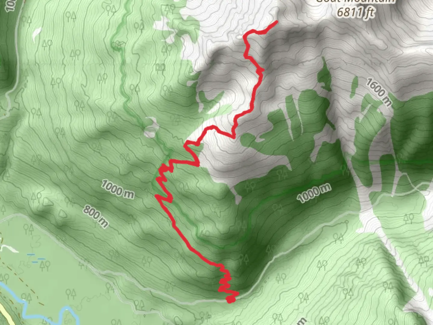
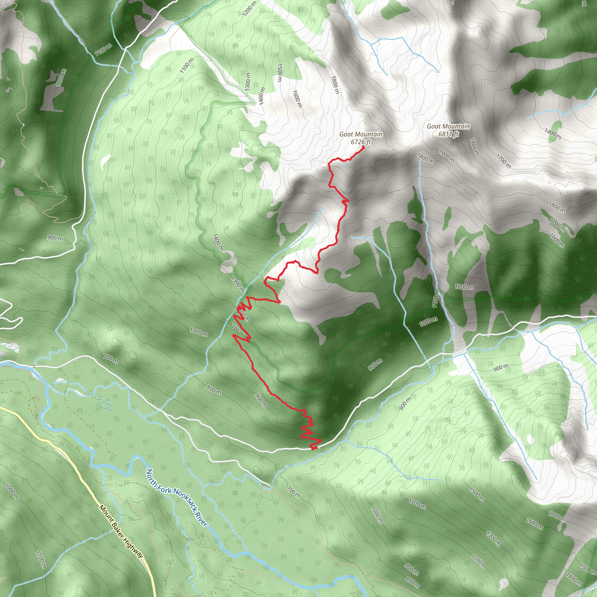
Starting near Whatcom County, Washington, the Goat Mountain West Trail is an invigorating out-and-back hike that spans approximately 15 kilometers (9.3 miles) with an elevation gain of around 1400 meters (4593 feet). This trail is rated as medium difficulty, making it suitable for hikers with some experience and a good level of fitness.### Getting There To reach the trailhead, you can drive or use public transport. If driving, head towards the nearest significant landmark, the town of Glacier, Washington. From Glacier, take the Mount Baker Highway (WA-542) east for about 12 miles until you reach the Hannegan Pass Road (Forest Road 32). Follow this road for approximately 5 miles to the trailhead parking area. For those using public transport, the nearest bus stop is in Glacier, and from there, you may need to arrange a taxi or rideshare to the trailhead.### Trail Overview The trail begins with a gentle ascent through dense forest, offering a cool and shaded start to your hike. After about 2 kilometers (1.2 miles), the trail starts to climb more steeply, and you will gain significant elevation over the next 3 kilometers (1.9 miles). This section can be challenging, so take your time and enjoy the surroundings.### Significant Landmarks and Nature At around the 5-kilometer (3.1-mile) mark, you will reach a clearing that offers your first panoramic views of the surrounding mountains, including Mount Baker and Mount Shuksan. This is a great spot to take a break and hydrate. Continuing on, the trail becomes rockier and more exposed, so be prepared for changing weather conditions.### Wildlife and Flora The Goat Mountain area is rich in wildlife. Keep an eye out for black bears, mountain goats, and marmots. Birdwatchers will also enjoy spotting various species such as the Clark's Nutcracker and the Mountain Bluebird. The flora changes as you ascend, with dense coniferous forests giving way to alpine meadows filled with wildflowers in the summer months.### Historical Significance The region around Goat Mountain has a rich history, particularly related to the indigenous Nooksack people who have lived in the area for thousands of years. The trail itself was used historically for hunting and gathering. In the late 19th and early 20th centuries, the area saw an influx of miners searching for gold and other minerals, remnants of which can still be found along the trail.### Final Ascent The final push to the summit is the most strenuous part of the hike, with a steep and rocky path that requires careful footing. Upon reaching the summit, at approximately 7.5 kilometers (4.7 miles) from the trailhead, you will be rewarded with breathtaking 360-degree views of the North Cascades, including the prominent peaks of Mount Baker and Mount Shuksan.### Navigation Given the challenging terrain and potential for rapidly changing weather, it is advisable to use a reliable navigation tool like HiiKER to keep track of your progress and ensure you stay on the correct path.### Return Journey The return journey follows the same path back to the trailhead, offering a chance to enjoy the views and landmarks from a different perspective. Make sure to leave no trace and pack out all your trash to preserve the natural beauty of the area for future hikers.
What to expect?
Activity types
Comments and Reviews
User comments, reviews and discussions about the Goat Mountain West Trail, Washington.
4.45
average rating out of 5
11 rating(s)
