Download
Preview
Add to list
More
13.5 km
~4 hrs 44 min
1226 m
Point-to-Point
“Embark on the Elbow Lake and Bell Pass Trail for a 13 km scenic adventure through diverse landscapes and rich history.”
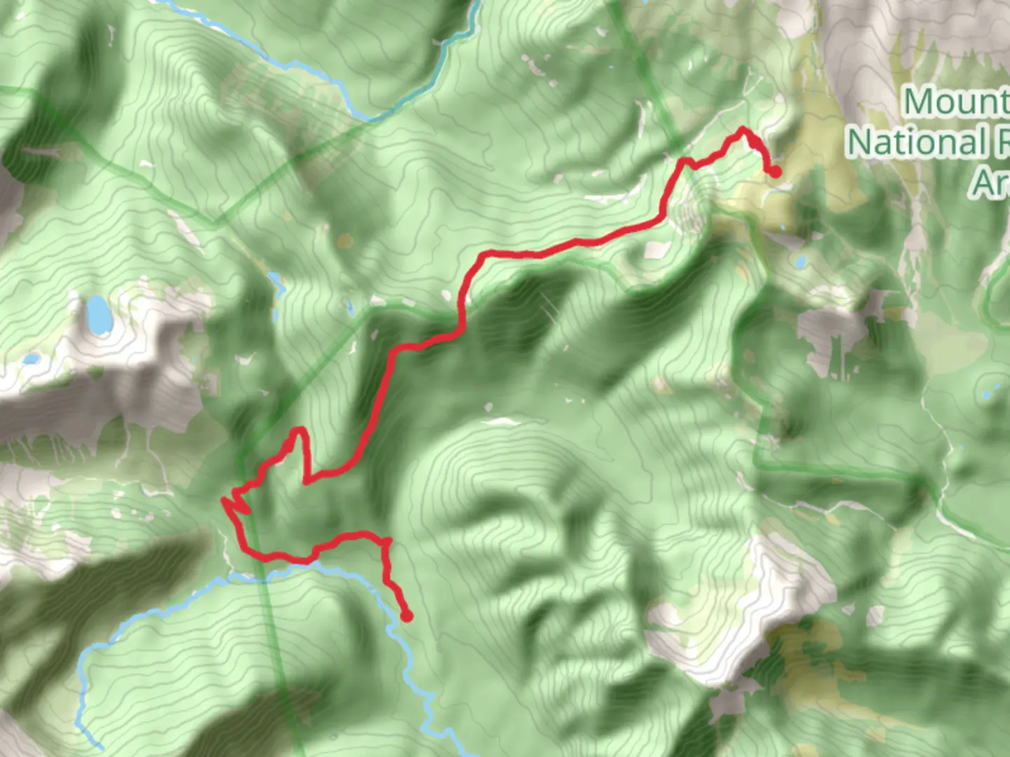
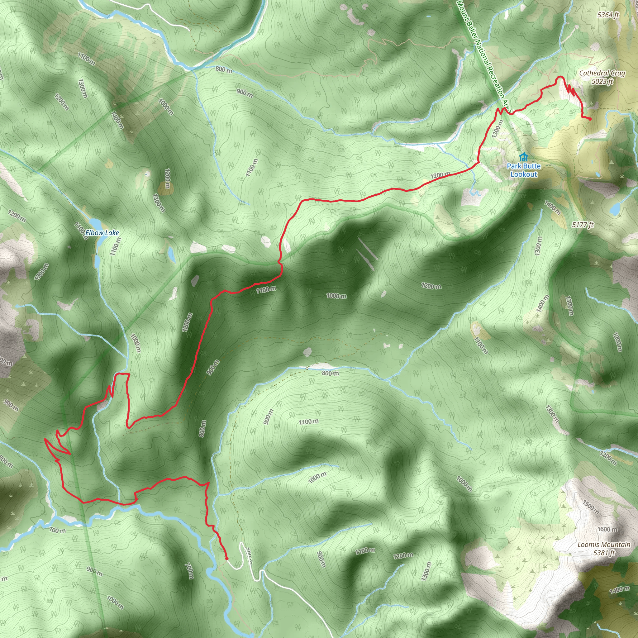
Starting your adventure near Whatcom County, Washington, the Elbow Lake and Bell Pass Trail is a captivating point-to-point hike stretching approximately 13 km (8 miles) with an elevation gain of around 1200 meters (3937 feet). This trail is rated as medium difficulty, making it suitable for moderately experienced hikers.### Getting There To reach the trailhead, you can drive or use public transportation. If driving, head towards the nearest significant landmark, which is the town of Glacier, Washington. From Glacier, take the Mount Baker Highway (WA-542) eastward until you reach the Twin Lakes Road (Forest Service Road 3065). Follow this road to the trailhead parking area. For those using public transport, the nearest bus stop is in Glacier, from where you can arrange a taxi or rideshare to the trailhead.### Trail Overview The trail begins with a gradual ascent through lush, dense forest, offering a serene start to your hike. As you progress, you'll encounter a series of switchbacks that will take you higher into the alpine zone. The first significant landmark is Elbow Lake, located about 4 km (2.5 miles) from the trailhead. This picturesque lake is an excellent spot for a short break, with its crystal-clear waters reflecting the surrounding peaks.### Flora and Fauna The trail is rich in biodiversity. In the lower sections, you'll find towering Douglas firs and Western hemlocks. As you ascend, the vegetation transitions to subalpine meadows filled with wildflowers during the summer months. Keep an eye out for wildlife such as black bears, deer, and various bird species. It's advisable to carry bear spray and make noise to avoid surprising any wildlife.### Historical Significance The region around Whatcom County has a rich history, with indigenous tribes such as the Nooksack and Lummi having inhabited the area for thousands of years. The trail itself was used historically by these tribes for hunting and gathering. In the late 19th and early 20th centuries, the area saw an influx of miners searching for gold and other minerals, remnants of which can still be seen along the trail.### Bell Pass Continuing from Elbow Lake, the trail becomes steeper as you approach Bell Pass. This section is the most challenging part of the hike, with a significant elevation gain of about 600 meters (1968 feet) over the next 3 km (1.9 miles). The effort is well worth it, as the pass offers panoramic views of the surrounding peaks and valleys. On a clear day, you can see as far as Mount Baker to the west and the Canadian Rockies to the north.### Navigation Given the trail's complexity, it's highly recommended to use a reliable navigation tool like HiiKER to keep track of your progress and ensure you stay on the correct path. The trail is well-marked, but weather conditions can change rapidly, making navigation tools essential.### Final Descent After reaching Bell Pass, the trail descends gradually through alpine meadows and back into the forest. The final 3 km (1.9 miles) of the trail are relatively easy, allowing you to enjoy the serene surroundings as you make your way to the endpoint.### Preparation Tips Given the trail's length and elevation gain, it's crucial to be well-prepared. Carry sufficient water, snacks, and layers of clothing to adapt to changing weather conditions. Trekking poles can be helpful, especially during the steep sections. Always check the weather forecast before heading out and inform someone of your plans.This trail offers a rewarding experience with its diverse landscapes, rich history, and stunning views, making it a must-do for any hiking enthusiast.
What to expect?
Activity types
Comments and Reviews
User comments, reviews and discussions about the Elbow Lake and Bell Pass Trail, Washington.
4.33
average rating out of 5
3 rating(s)
