Download
Preview
Add to list
More
34.3 km
~1 day 2 hrs
417 m
Loop
“The Altoona-Pillar Rock Road Walk - Grays River trail offers a mesmerizing 34 km loop rich in nature and history.”
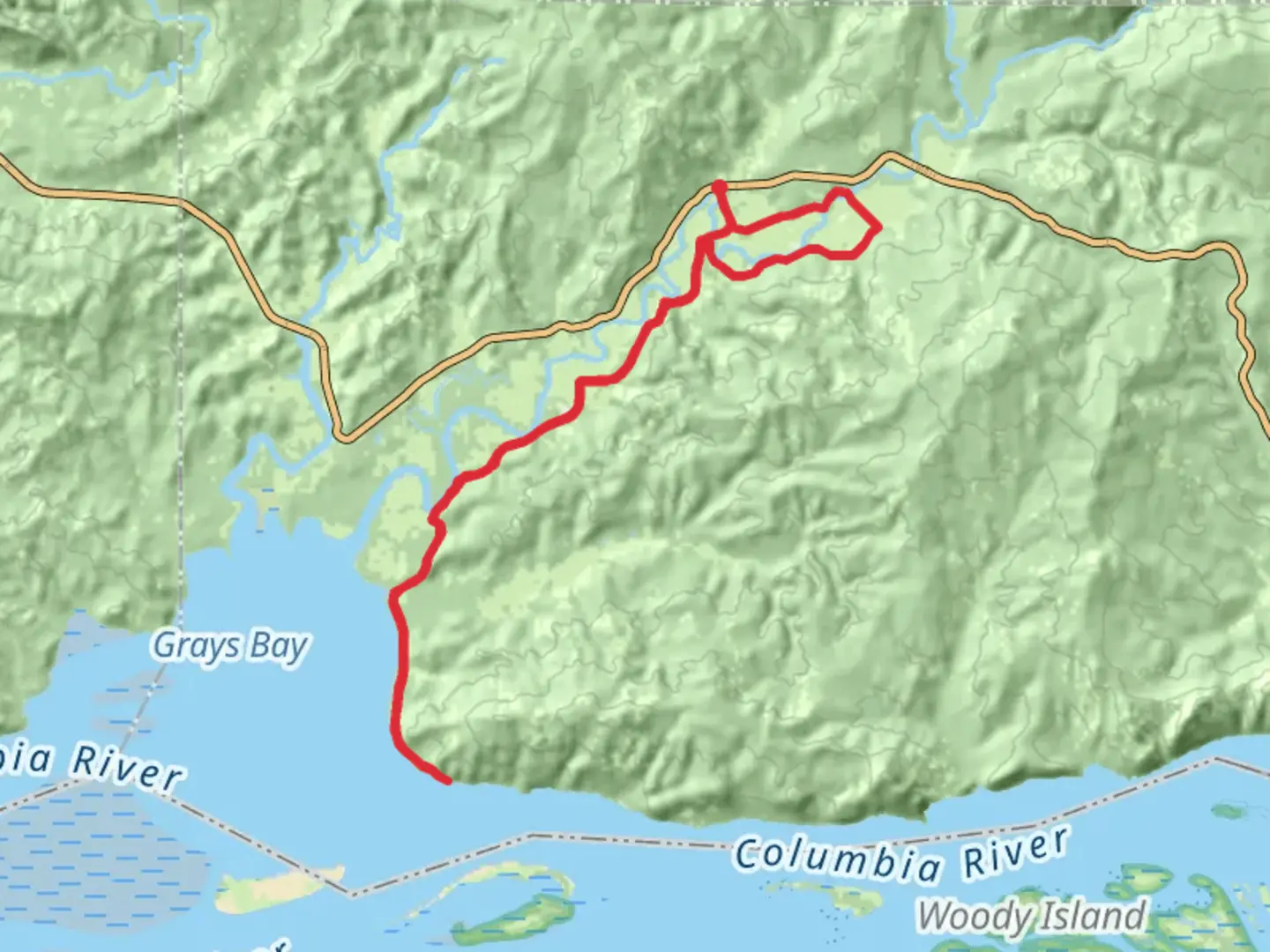
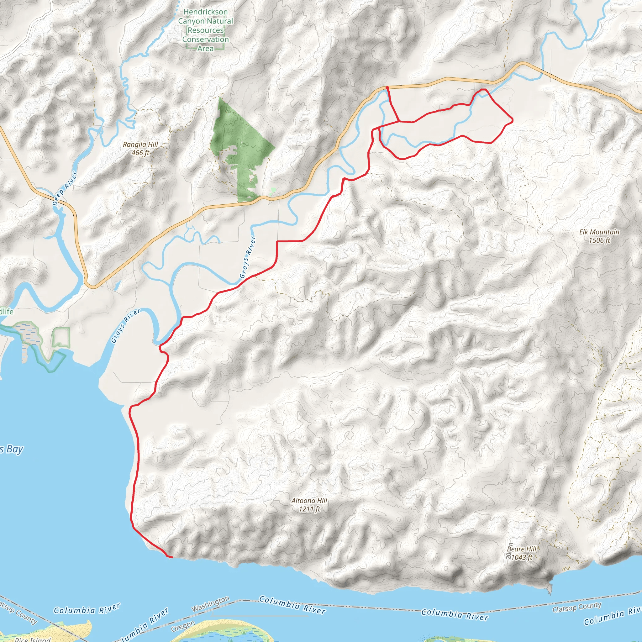
Starting near Wahkiakum County, Washington, the Altoona-Pillar Rock Road Walk - Grays River trail offers a captivating loop of around 34 km (21 miles) with an elevation gain of approximately 400 meters (1,312 feet). This medium-difficulty trail is perfect for those looking to immerse themselves in the natural beauty and historical richness of the Pacific Northwest.
Getting There To reach the trailhead, you can drive or use public transport. If driving, head towards Wahkiakum County, Washington. The nearest significant landmark is the town of Cathlamet, which is about 15 miles away from the trailhead. From Cathlamet, take State Route 4 westward, then turn onto Altoona-Pillar Rock Road. Public transport options are limited, so driving is recommended for convenience.
Trail Overview The trail begins near the Grays River and meanders through a mix of dense forests, open meadows, and along the riverbanks. The first few kilometers are relatively flat, making for an easy start. As you progress, the trail gradually ascends, offering panoramic views of the surrounding landscape.
Key Landmarks and Points of Interest - **Grays River Covered Bridge**: Approximately 5 km (3 miles) into the hike, you'll encounter the historic Grays River Covered Bridge. Built in 1905, it is the only covered bridge still in use in Washington State. This picturesque spot is perfect for a short break and some photography. - **Altoona**: Around the 15 km (9 miles) mark, you'll reach the small, historic community of Altoona. Once a bustling fishing village, it now offers a glimpse into the region's past with its old buildings and serene waterfront. - **Pillar Rock**: At approximately 25 km (15.5 miles), you'll come across Pillar Rock, a significant geological formation that rises dramatically from the Columbia River. This landmark has historical significance as it was noted by the Lewis and Clark Expedition in 1805.
Flora and Fauna The trail is rich in biodiversity. As you hike, you'll pass through forests dominated by Douglas fir, western red cedar, and hemlock. In the spring and summer, the meadows are adorned with wildflowers such as lupine, paintbrush, and columbine. Wildlife is abundant; keep an eye out for deer, elk, and a variety of bird species, including bald eagles and osprey.
Trail Conditions and Navigation The trail is well-marked, but it's always wise to carry a reliable navigation tool. HiiKER is an excellent app for this purpose, providing detailed maps and real-time location tracking. The terrain varies from flat riverbanks to moderately steep inclines, so sturdy hiking boots are recommended. Weather can be unpredictable, so pack layers and rain gear.
Historical Significance This region is steeped in history. The Grays River area was originally inhabited by the Chinook people, who utilized the river for fishing and transportation. The arrival of European settlers in the 19th century brought significant changes, including the establishment of fishing and logging industries. The trail itself offers a journey through this historical tapestry, with landmarks like the Grays River Covered Bridge and the remnants of Altoona serving as tangible links to the past.
Practical Tips - **Water and Snacks**: There are no facilities along the trail, so bring sufficient water and snacks. - **Leave No Trace**: Ensure you pack out all trash and respect the natural environment. - **Wildlife Safety**: Be aware of your surroundings and maintain a safe distance from wildlife.
This trail offers a blend of natural beauty, historical intrigue, and moderate physical challenge, making it a rewarding experience for any hiker.
What to expect?
Activity types
Comments and Reviews
User comments, reviews and discussions about the Altoona-Pillar Rock Road Walk - Grays River, Washington.
4.6
average rating out of 5
10 rating(s)
