Download
Preview
Add to list
More
34.8 km
~1 day 2 hrs
143 m
Point-to-Point
“The Spokane River Centennial Trail offers a scenic 35 km journey through diverse landscapes and historical landmarks.”
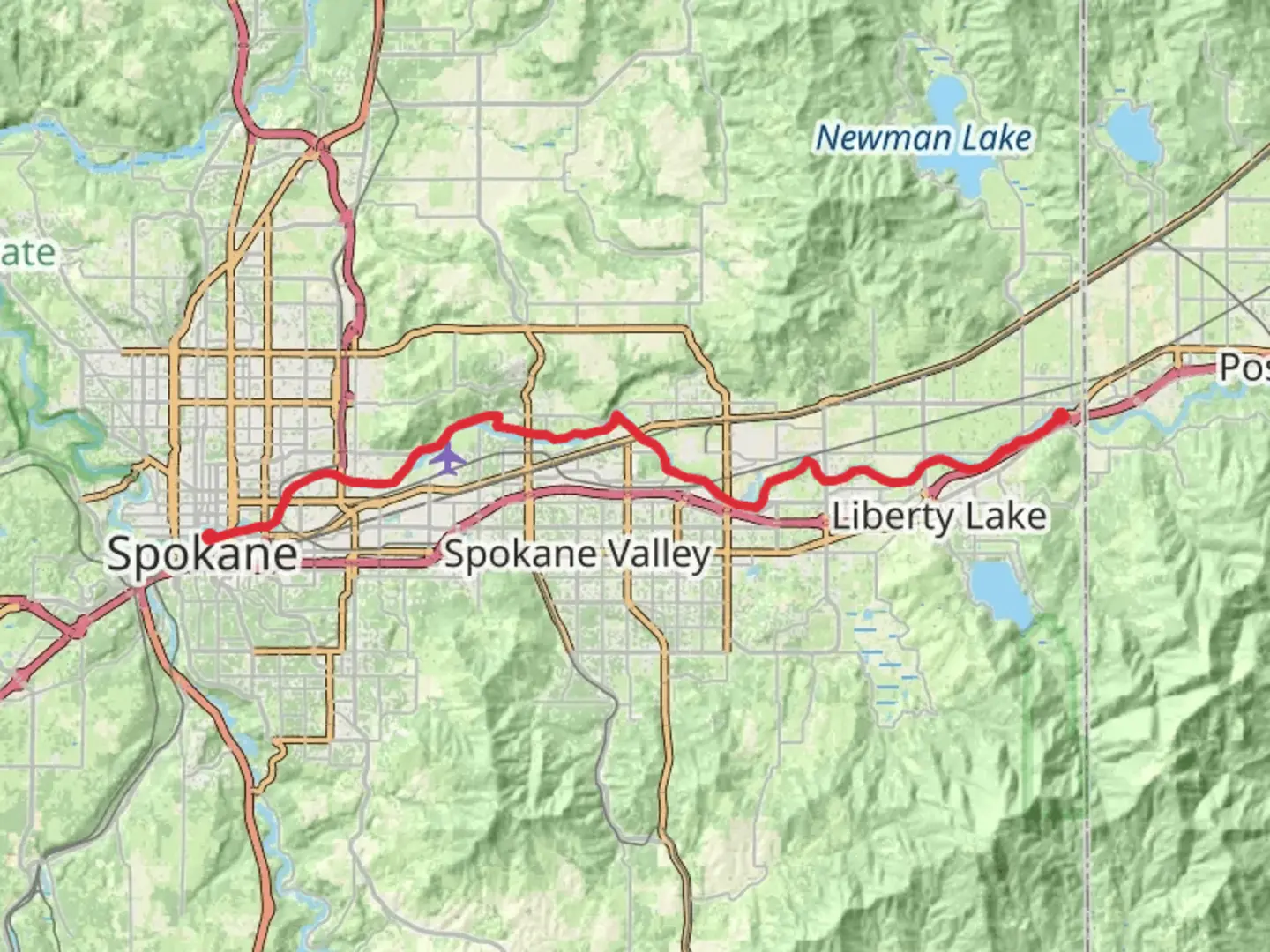
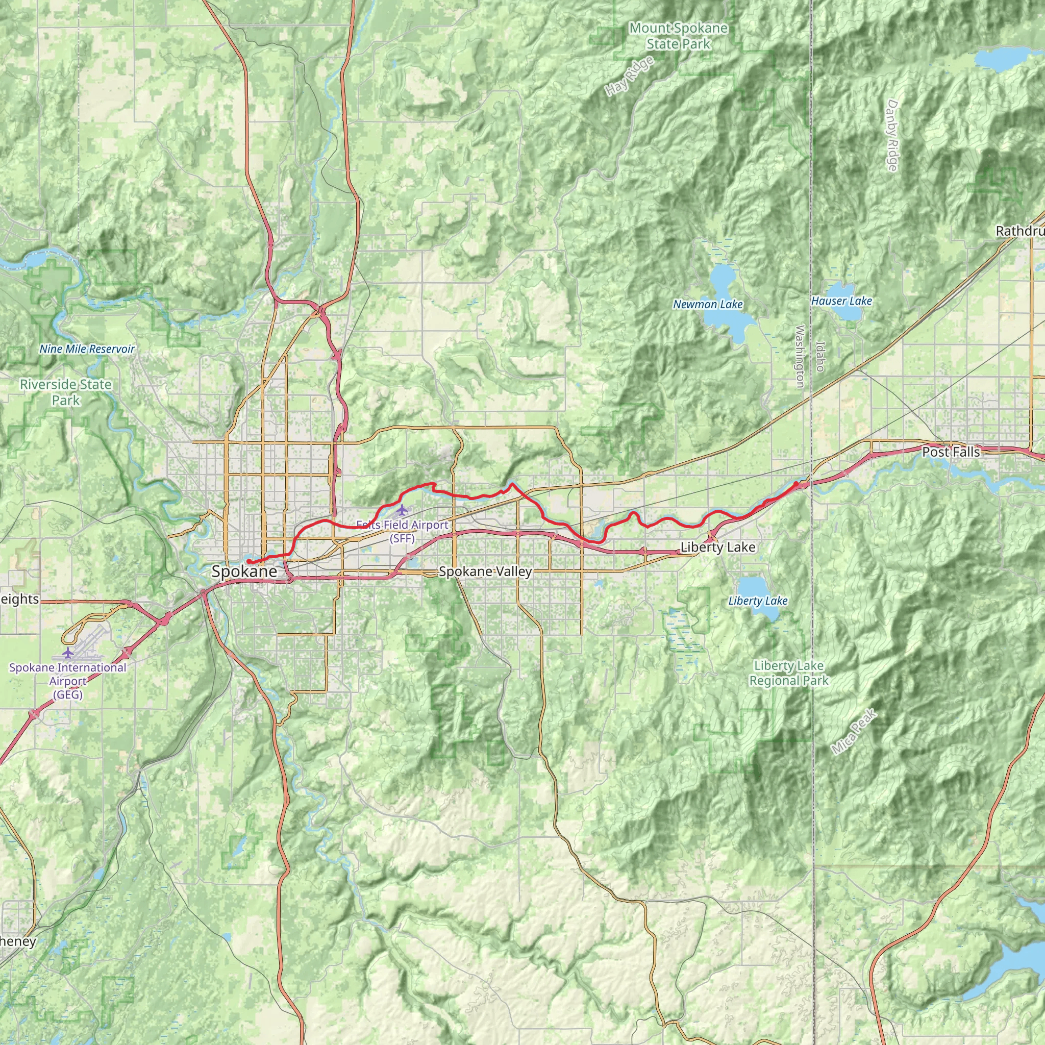
Starting near Spokane County, Washington, the Spokane River Centennial Trail stretches approximately 35 kilometers (around 22 miles) with an elevation gain of about 100 meters (328 feet). This point-to-point trail is estimated to be of medium difficulty, making it accessible for a wide range of hikers.
Getting There To reach the trailhead, you can drive or use public transportation. If driving, head towards the area near the Spokane Convention Center, which is a convenient starting point. For those using public transport, Spokane Transit Authority (STA) buses serve the area, with several routes stopping near the convention center.
Trail Overview The trail meanders along the Spokane River, offering stunning views and a variety of landscapes. It is well-paved and maintained, making it suitable for both hiking and biking. The trail is divided into several segments, each with its own unique features and attractions.
Key Segments and Landmarks
#### Riverfront Park (0 km / 0 miles) Starting at Riverfront Park, you'll find yourself in the heart of downtown Spokane. This park is home to the iconic Spokane Falls and the historic Looff Carrousel. The park itself is a great place to explore before or after your hike.
#### Kendall Yards (2 km / 1.2 miles) A short distance from Riverfront Park, Kendall Yards offers a mix of urban and natural scenery. This area has several cafes and restaurants, making it a good spot for a quick break.
#### Riverside State Park (10 km / 6.2 miles) As you continue, you'll enter Riverside State Park, one of the largest state parks in Washington. The park is rich in wildlife, including deer, eagles, and various bird species. The Bowl and Pitcher area within the park is particularly noteworthy for its dramatic basalt rock formations.
#### Nine Mile Falls (20 km / 12.4 miles) Further along, you'll reach Nine Mile Falls. This area is historically significant as it was once a site for Native American fishing and later a hydroelectric power plant. The falls themselves are a beautiful sight and a great place to pause and take in the scenery.
#### Mirabeau Point Park (30 km / 18.6 miles) Approaching the end of the trail, Mirabeau Point Park offers a mix of open spaces and wooded areas. The park has several amenities, including picnic areas and restrooms, making it a good spot to rest before completing the final stretch.
Navigation and Safety For navigation, the HiiKER app is highly recommended. It provides detailed maps and real-time updates, ensuring you stay on track. The trail is well-marked, but having a reliable navigation tool can enhance your experience.
Flora and Fauna The trail is home to diverse flora and fauna. Depending on the season, you might see wildflowers, various bird species, and even the occasional moose. The river itself is a habitat for fish like trout and salmon, adding to the natural beauty of the hike.
Historical Significance The Spokane River has been a vital resource for the region's indigenous peoples for thousands of years. The trail follows parts of the historic route used by Native American tribes for fishing and trade. Later, during the industrial era, the river became a hub for hydroelectric power, which played a crucial role in the development of Spokane.
Final Stretch The trail concludes near the Idaho state line, offering a seamless transition to the North Idaho Centennial Trail if you wish to extend your hike. The end point is near the Gateway Regional Park, a peaceful area perfect for reflecting on your journey.
This trail offers a blend of urban and natural environments, historical landmarks, and diverse wildlife, making it a rewarding experience for any hiker.
What to expect?
Activity types
Comments and Reviews
User comments, reviews and discussions about the Spokane River Centennial Trail, Washington.
4.42
average rating out of 5
12 rating(s)
