Download
Preview
Add to list
More
9.7 km
~3 hrs 1 min
645 m
Out and Back
“The Walt Bailey Trail offers a moderately challenging, scenic hike with cascading waterfalls, alpine meadows, and historical landmarks.”
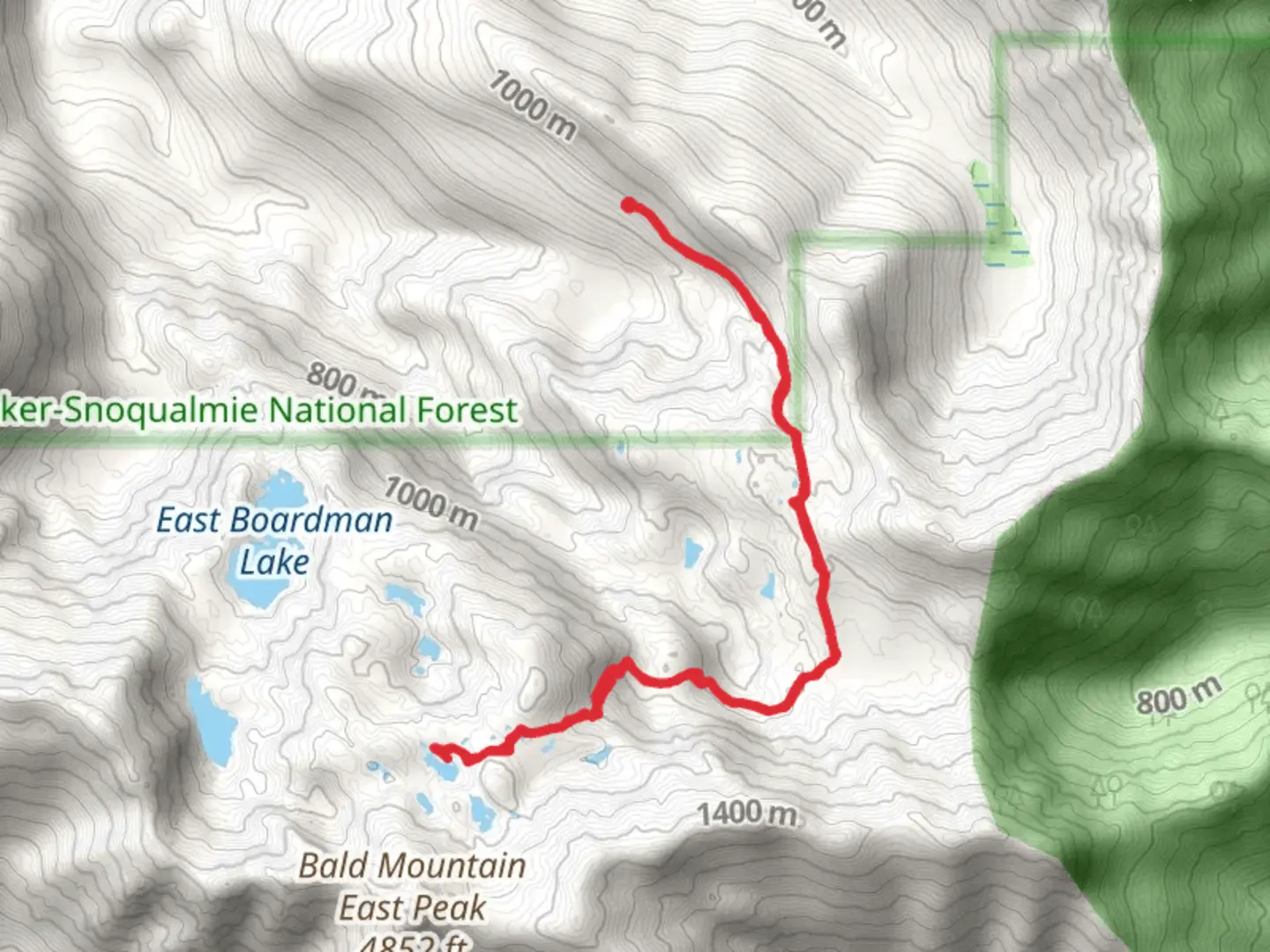
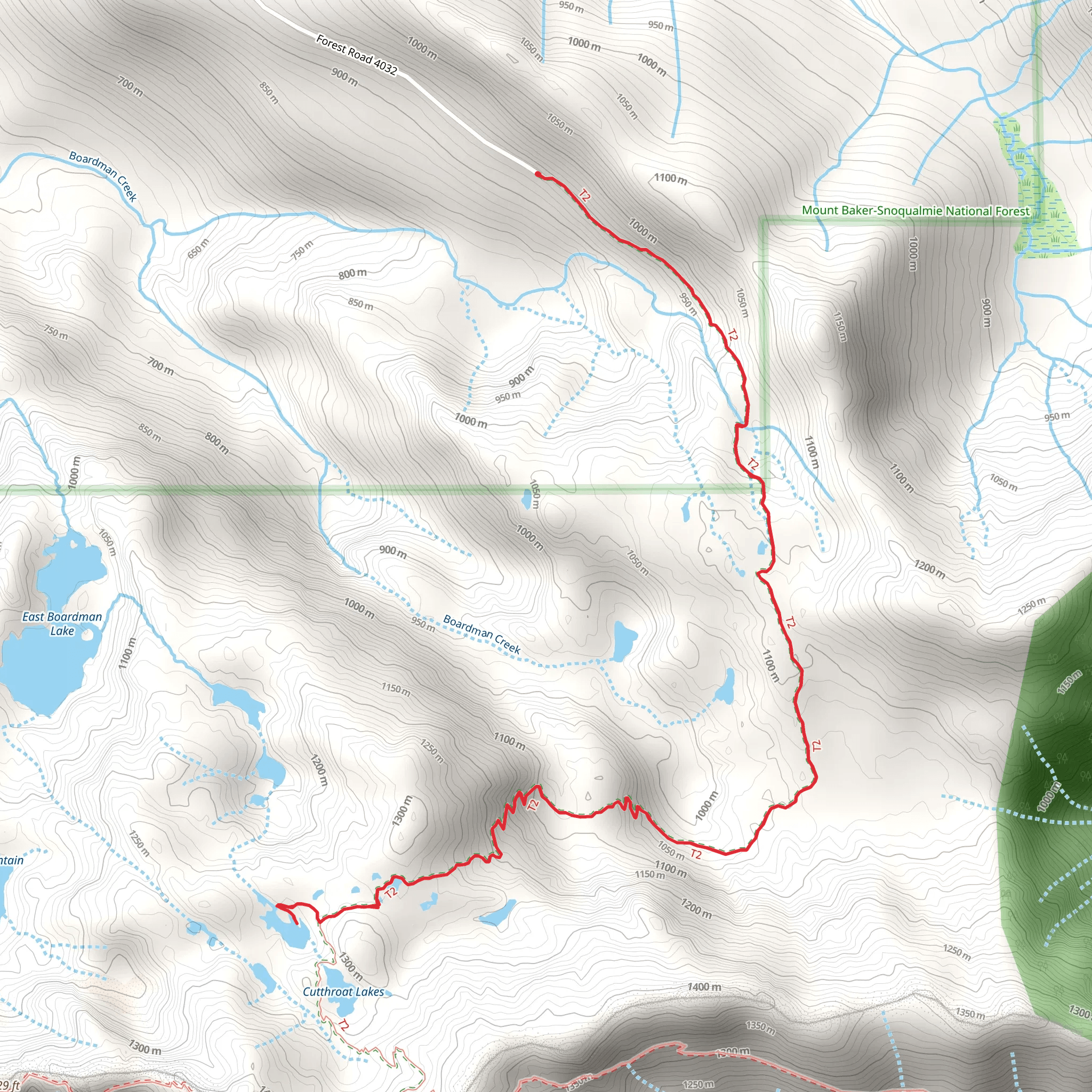
The Walt Bailey Trail is a captivating 10 km (6.2 miles) out-and-back hike located near Snohomish County, Washington. With an elevation gain of approximately 600 meters (1,968 feet), this trail offers a moderate challenge suitable for hikers with some experience.
Getting There To reach the trailhead, you can drive or use public transportation. If driving, head towards the Mountain Loop Highway from Granite Falls, Washington. The nearest significant landmark is the Verlot Public Service Center, located at 33515 Mountain Loop Hwy, Granite Falls, WA 98252. From there, continue on Mountain Loop Highway for about 16 miles until you reach the trailhead parking area. Public transport options are limited, so driving is the most convenient way to access the trail.
Trail Overview The trail begins with a gentle ascent through lush, dense forest, characterized by towering Douglas firs and western hemlocks. The first 1.5 km (0.9 miles) of the trail is relatively easy, with a gradual incline that allows hikers to acclimate to the terrain. As you progress, the trail becomes steeper and rockier, requiring careful footing.
Significant Landmarks and Nature Around the 3 km (1.9 miles) mark, you'll encounter the first significant landmark: a series of small, cascading waterfalls. These provide a perfect spot for a short break and photo opportunities. Continuing on, the trail opens up into a series of alpine meadows, especially vibrant in late spring and early summer when wildflowers such as lupines, Indian paintbrush, and avalanche lilies are in full bloom.
Historical Significance The region around the Walt Bailey Trail has a rich history tied to early logging activities in the Pacific Northwest. Remnants of old logging equipment and abandoned cabins can occasionally be spotted off the main trail, offering a glimpse into the area's past.
Wildlife Wildlife is abundant along the trail. Keep an eye out for black-tailed deer, marmots, and various bird species, including the Steller's jay and the mountain chickadee. Bears are also known to inhabit the area, so carrying bear spray and making noise while hiking is advisable.
Navigation and Safety The trail is well-marked, but it's always wise to carry a reliable navigation tool like HiiKER to ensure you stay on track. The final stretch of the trail involves a steep climb to the summit, where you'll be rewarded with panoramic views of the surrounding peaks and valleys. This section can be particularly challenging, especially in wet or icy conditions, so proper footwear and trekking poles are recommended.
Final Stretch The trail culminates at the scenic Boardman Lake, located approximately 5 km (3.1 miles) from the trailhead. This serene alpine lake is an ideal spot for a picnic or a refreshing dip in the summer months. After enjoying the lake, retrace your steps back to the trailhead, completing the 10 km (6.2 miles) journey.
Hikers should be prepared for changing weather conditions, as the Pacific Northwest is known for its unpredictable climate. Packing layers, rain gear, and sufficient water and snacks will ensure a safe and enjoyable hike.
What to expect?
Activity types
Comments and Reviews
User comments, reviews and discussions about the Walt Bailey Trail, Washington.
4.5
average rating out of 5
2 rating(s)
