Download
Preview
Add to list
More
20.8 km
~1 day 0 hrs
937 m
Out and Back
“Embark on a captivating 21km hike through lush forests, alpine meadows, and historical landmarks in the Cascades.”
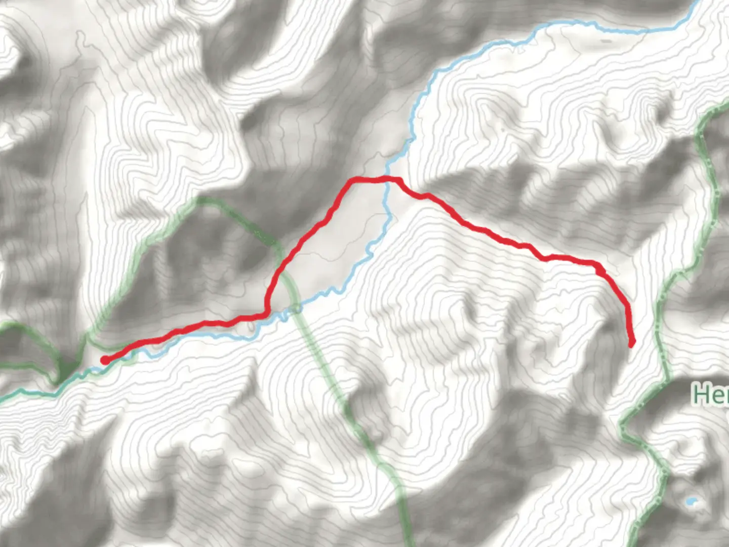
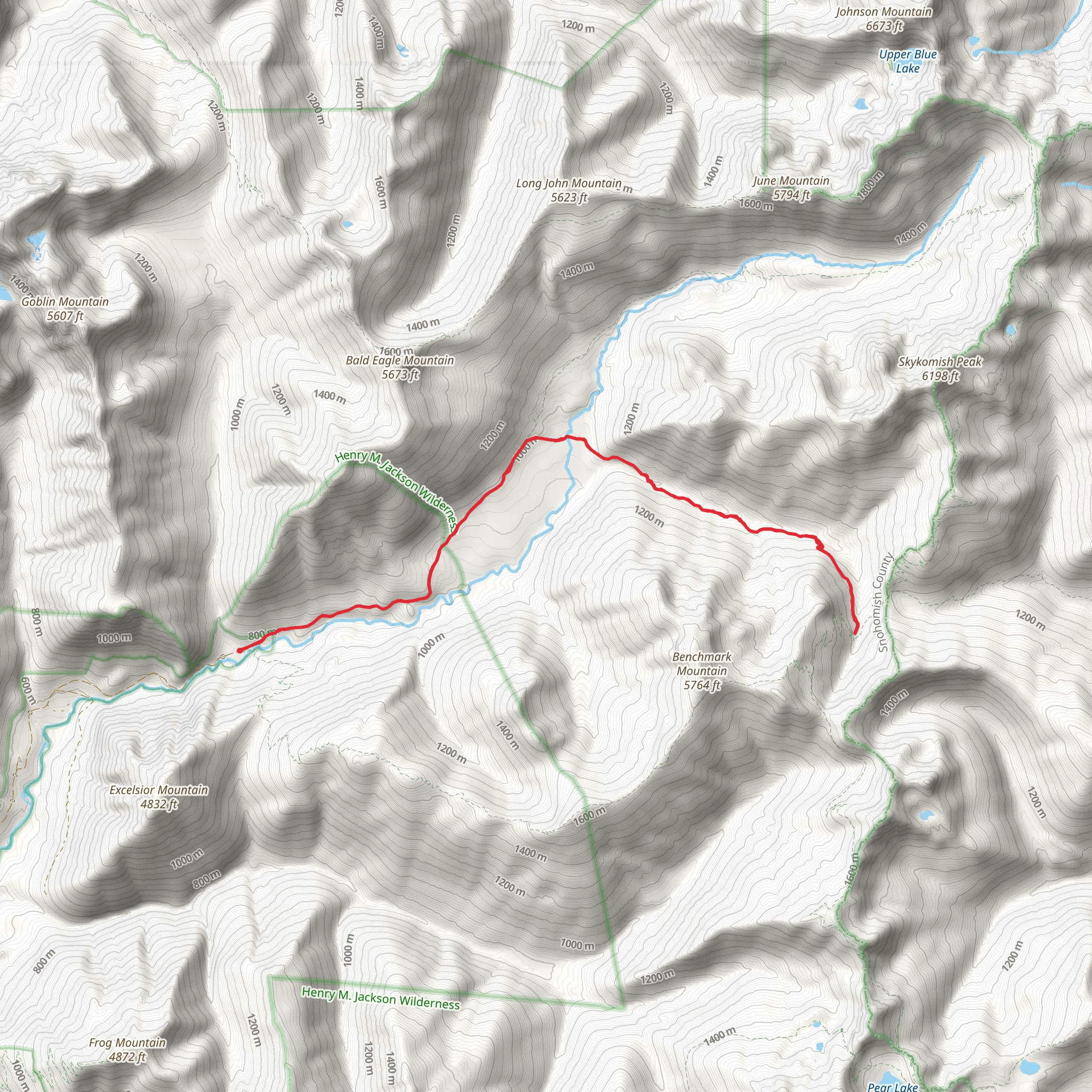
Starting your adventure near Snohomish County, Washington, the North Fork Skykomish Trail and Pass Creek Trail offers a captivating journey through the heart of the Cascade Mountains. This out-and-back trail spans approximately 21 kilometers (13 miles) with an elevation gain of around 900 meters (2,950 feet), making it a moderately challenging hike suitable for those with some experience.### Getting There To reach the trailhead, you can drive or use public transportation. If driving, head towards the town of Index, Washington. From there, follow Index-Galena Road until you reach the trailhead near the North Fork Skykomish River. For those using public transport, take a bus to Index and arrange for a local taxi or rideshare to the trailhead.### Trail Overview The trail begins with a gentle ascent through lush, old-growth forests. The first few kilometers (miles) are relatively easy, allowing you to acclimate to the surroundings. As you progress, the trail becomes steeper, and the dense canopy opens up to reveal stunning views of the surrounding peaks.### Key Landmarks and Points of Interest - North Fork Skykomish River: Early in your hike, you'll follow the North Fork Skykomish River. The sound of rushing water accompanies you, providing a serene backdrop. Keep an eye out for spots where you can safely access the river for a quick break or photo opportunity. - Wildlife: This area is home to a variety of wildlife, including black bears, deer, and numerous bird species. Always carry bear spray and make noise to avoid surprising any animals. - Pass Creek: Around the halfway point, you'll encounter Pass Creek. This is a great spot to rest and refill your water bottles. The creek is fed by snowmelt, so the water is usually cold and refreshing. - Alpine Meadows: As you gain elevation, the forest gives way to alpine meadows filled with wildflowers during the summer months. These meadows offer panoramic views of the surrounding mountains and are a perfect spot for a picnic.### Historical Significance The region has a rich history, with the trail originally used by Native American tribes for hunting and trading. In the early 20th century, the area saw a surge in mining activity, remnants of which can still be seen along the trail. Old mining equipment and abandoned cabins serve as historical markers, offering a glimpse into the past.### Navigation and Safety Given the trail's moderate difficulty, it's essential to be well-prepared. Use the HiiKER app for accurate navigation and real-time updates on trail conditions. The trail can be muddy and slippery, especially after rain, so sturdy hiking boots are a must. Always check the weather forecast before heading out, as conditions can change rapidly in the mountains.### Final Ascent The final stretch of the trail is the most challenging, with a steep climb that rewards you with breathtaking views of the surrounding peaks and valleys. The summit offers a 360-degree panorama, making the effort well worth it.### Return Journey The return journey follows the same path, allowing you to revisit the beautiful landscapes and landmarks you encountered on the way up. Take your time to enjoy the descent, as the changing light can offer new perspectives on the scenery.This trail offers a perfect blend of natural beauty, historical significance, and moderate challenge, making it a must-visit for any hiking enthusiast.
What to expect?
Activity types
Comments and Reviews
User comments, reviews and discussions about the North Fork Skykomish Trail and Pass Creek Trail, Washington.
4.33
average rating out of 5
6 rating(s)
