Download
Preview
Add to list
More
6.3 km
~1 hrs 34 min
188 m
Out and Back
“Immerse in Pacific Northwest beauty on the rewarding 6 km Aston Creek via Neiderprum Trail.”
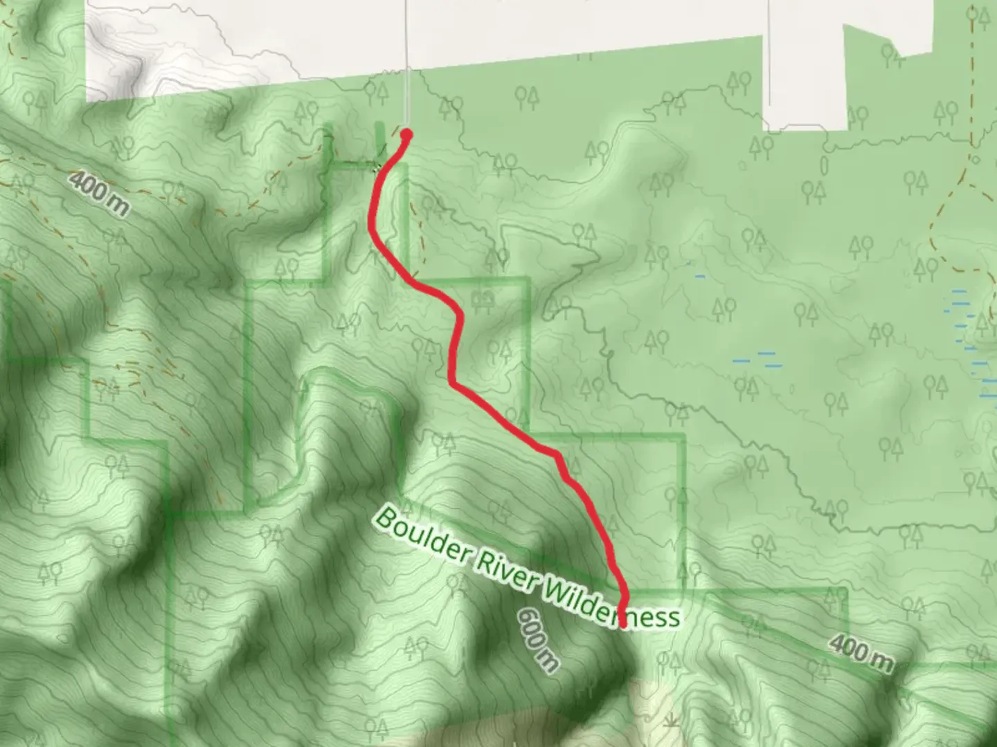
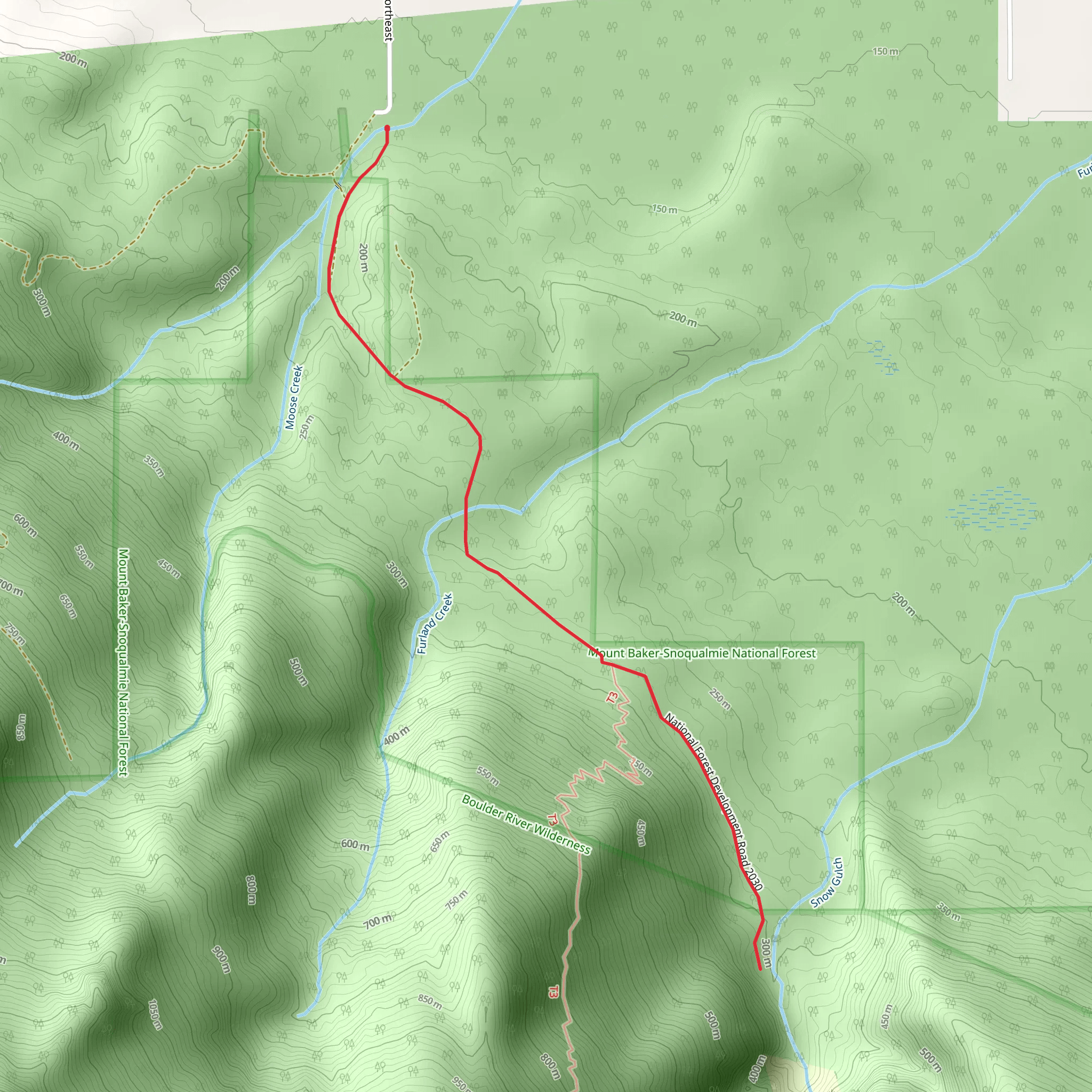
Starting your hike near Snohomish County, Washington, the Aston Creek via Neiderprum Trail offers a rewarding 6 km (approximately 3.7 miles) out-and-back journey with an elevation gain of around 100 meters (328 feet). This medium-difficulty trail is perfect for those looking to immerse themselves in the natural beauty of the Pacific Northwest.
Getting There To reach the trailhead, you can drive or use public transportation. If driving, head towards the nearest significant landmark, which is the town of Darrington, WA. From Darrington, take the Mountain Loop Highway and follow signs towards the trailhead. For those using public transport, you can take a bus to Darrington and then arrange for a local taxi or rideshare to the trailhead.
Trail Overview The trail begins with a gentle ascent through a dense forest of Douglas fir and western hemlock. The first kilometer (0.6 miles) is relatively easy, allowing you to acclimate to the surroundings. As you continue, the trail becomes steeper, gaining most of its elevation in the next 2 kilometers (1.2 miles).
Significant Landmarks and Nature At around the 2 km (1.2 miles) mark, you'll encounter a small, picturesque waterfall. This is a great spot to take a short break and enjoy the soothing sounds of cascading water. Continuing on, the trail opens up to a series of meadows filled with wildflowers during the spring and summer months. Keep an eye out for local wildlife, including deer, black bears, and a variety of bird species.
Historical Significance The region around Snohomish County has a rich history, particularly related to the logging industry. In the late 19th and early 20th centuries, this area was a bustling hub for timber extraction. Remnants of old logging equipment and abandoned cabins can sometimes be spotted off the main trail, offering a glimpse into the past.
Navigation and Safety Given the moderate difficulty of the trail, it's advisable to use a reliable navigation tool like HiiKER to keep track of your progress and ensure you stay on the correct path. The trail is well-marked, but having a digital map can be invaluable, especially if you decide to explore any of the side paths or historical sites.
Final Stretch The final kilometer (0.6 miles) of the trail levels out, leading you to Aston Creek. Here, you can enjoy the serene environment, have a picnic, or simply relax by the water before heading back the way you came. The return journey offers a different perspective, with downhill sections providing a more leisurely hike back to the trailhead.
This trail is a fantastic option for those looking to experience the natural beauty and historical richness of Snohomish County. Whether you're a seasoned hiker or a casual adventurer, the Aston Creek via Neiderprum Trail has something to offer everyone.
What to expect?
Activity types
Comments and Reviews
User comments, reviews and discussions about the Aston Creek via Neiderprum Trail, Washington.
4.62
average rating out of 5
13 rating(s)
