Download
Preview
Add to list
More
7.1 km
~1 hrs 51 min
257 m
Loop
“"Discover Pacific Northwest beauty on the 7 km Thomas Lake Trail, featuring serene lakes and forest vistas."”
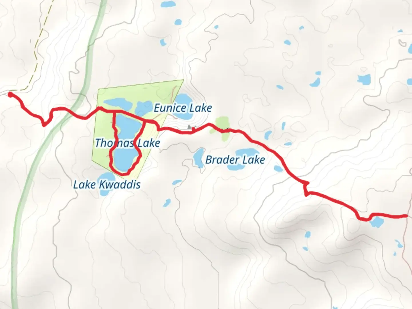
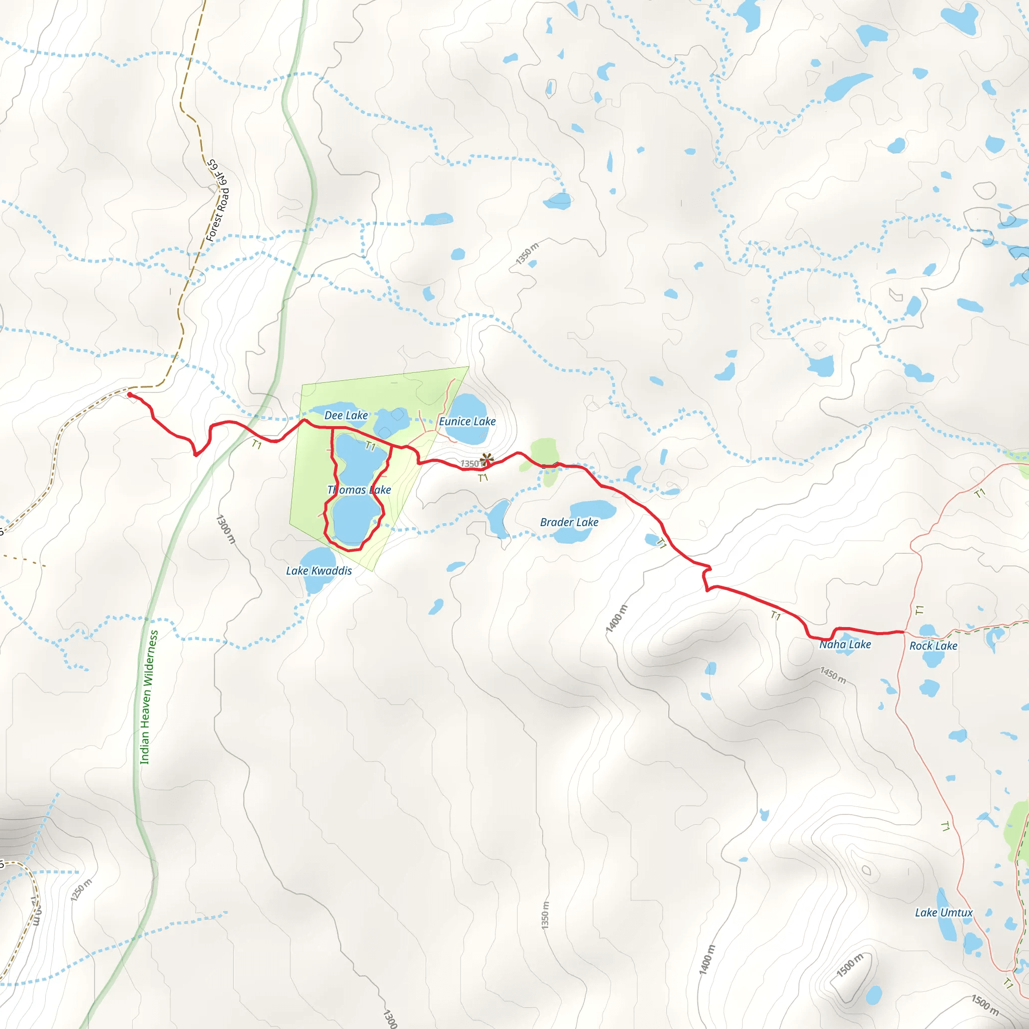
Starting your adventure near Skamania County, Washington, the Thomas Lake Trail offers a delightful 7 km (4.3 miles) loop with an elevation gain of around 200 meters (656 feet). This medium-difficulty trail is perfect for those looking to immerse themselves in the natural beauty of the Pacific Northwest.
Getting There To reach the trailhead, you can drive or use public transportation. If driving, head towards the Gifford Pinchot National Forest. The nearest significant landmark is the town of Carson, WA. From Carson, take the Wind River Highway north for about 15 miles until you reach the turnoff for Forest Road 65. Follow this road for approximately 10 miles to reach the Thomas Lake Trailhead. For those relying on public transport, the nearest bus stop is in Carson, WA. From there, you may need to arrange a taxi or rideshare to the trailhead.
Trail Overview The trail begins with a gentle ascent through a lush forest of Douglas fir and western hemlock. After about 1 km (0.6 miles), you'll encounter the first of several small, picturesque lakes. Thomas Lake, the trail's namesake, is a serene spot perfect for a quick rest or photo opportunity. The trail continues to wind through the forest, offering glimpses of the surrounding Cascade Mountains.
Significant Landmarks and Nature At approximately 2 km (1.2 miles), you'll reach Heather Lake, another beautiful body of water surrounded by wildflowers in the spring and summer months. This area is a great spot for birdwatching, with species such as the Steller's jay and the American dipper frequently spotted.
Continuing on, the trail ascends more steeply, gaining about 100 meters (328 feet) over the next 1.5 km (0.9 miles). This section can be a bit challenging, but the effort is rewarded with stunning views of the Indian Heaven Wilderness. Keep an eye out for the occasional black-tailed deer or even a black bear, though the latter is rare.
Historical Significance The region holds historical significance for the Native American tribes who have lived here for thousands of years. The area was traditionally used for hunting and gathering, and you may come across ancient petroglyphs or other cultural artifacts. Please respect these sites and leave them undisturbed.
Navigation and Safety Given the trail's moderate difficulty, it's advisable to bring a reliable navigation tool. HiiKER is an excellent app for this purpose, providing detailed maps and real-time tracking to ensure you stay on course. The trail is well-marked, but it's always good to have a backup.
Final Stretch As you loop back towards the trailhead, the descent is gradual, allowing you to enjoy the forest's tranquility. The final 2 km (1.2 miles) are relatively flat, making for a pleasant end to your hike.
Remember to pack out all trash and respect the natural environment to keep this trail beautiful for future hikers.
What to expect?
Activity types
Comments and Reviews
User comments, reviews and discussions about the Thomas Lake Trail, Washington.
4.73
average rating out of 5
11 rating(s)
