Download
Preview
Add to list
More
25.5 km
~1 day 2 hrs
1721 m
Loop
“Embark on a challenging 25-km loop through lush forests and panoramic peaks, culminating at Northway Peak.”
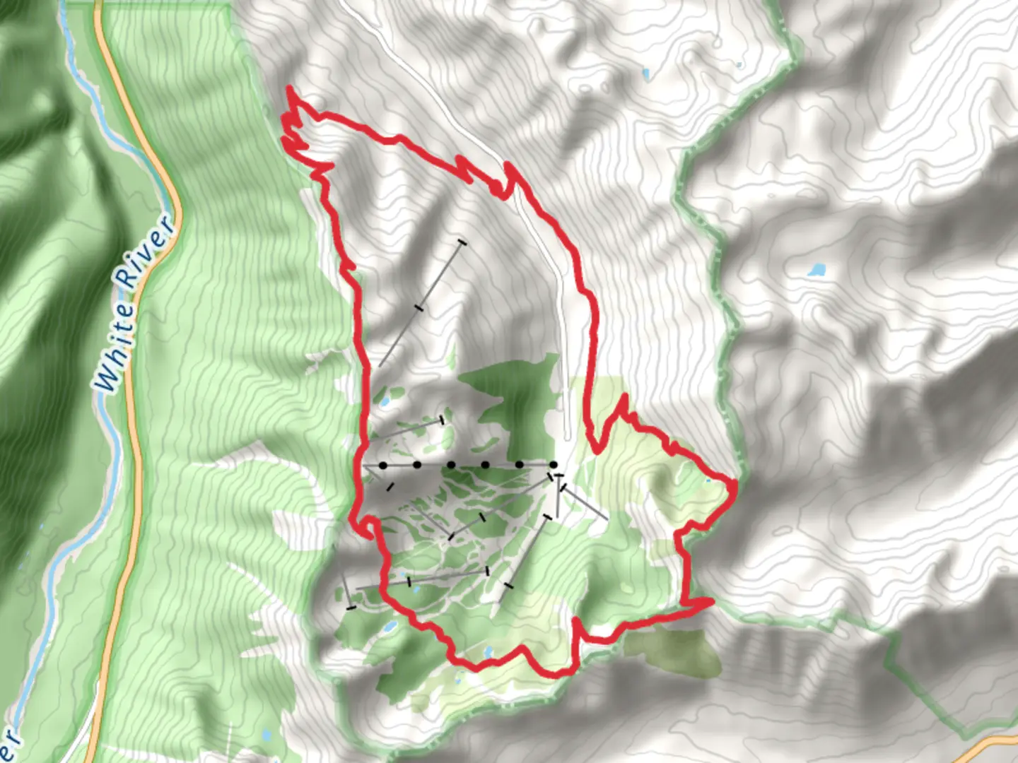
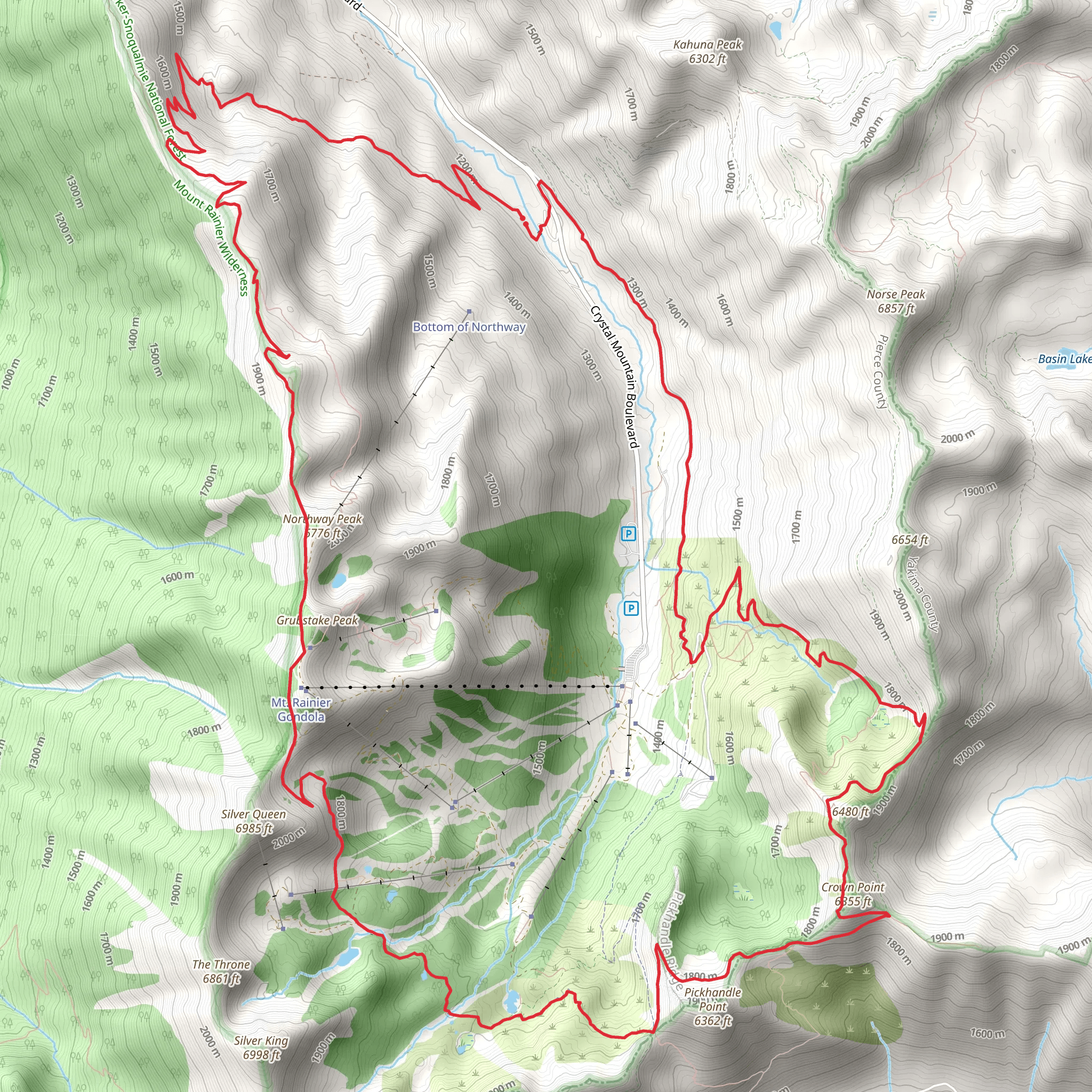
Starting your adventure near Pierce County, Washington, the Northway Peak via Northway Trail offers a challenging yet rewarding loop trail that spans approximately 25 kilometers (15.5 miles) with an elevation gain of around 1700 meters (5577 feet). This trail is rated as medium difficulty, making it suitable for hikers with some experience and a good level of fitness.
Getting There To reach the trailhead, you can drive or use public transport. If driving, head towards the nearest significant landmark, Crystal Mountain Resort, located at 33914 Crystal Mountain Blvd, Enumclaw, WA 98022. From there, follow the signs to the trailhead parking area. For those using public transport, you can take a bus to Enumclaw and then arrange for a taxi or rideshare to the resort.
Trail Overview The trail begins with a steady ascent through dense forest, offering a mix of Douglas fir, western hemlock, and cedar trees. As you climb, the forest canopy provides ample shade, making the initial part of the hike quite pleasant. After about 5 kilometers (3.1 miles) and an elevation gain of approximately 300 meters (984 feet), you'll reach a clearing that offers your first panoramic views of the surrounding peaks.
Significant Landmarks and Points of Interest At around the 8-kilometer (5-mile) mark, you'll encounter a small alpine lake, a perfect spot for a short break. The lake is surrounded by wildflowers in the summer months, adding a splash of color to the landscape. Continuing on, the trail becomes steeper and rockier, requiring careful footing.
Wildlife and Flora Keep an eye out for local wildlife, including black bears, deer, and various bird species such as the Stellar's Jay and the Northern Flicker. The flora changes as you ascend, with subalpine fir and mountain hemlock becoming more prevalent.
Historical Significance The region has a rich history, with the trail passing through areas once used by Native American tribes for hunting and gathering. The trail also skirts the edge of the Norse Peak Wilderness, an area designated to protect its natural and historical significance.
Reaching Northway Peak The final push to Northway Peak is the most challenging, with a steep ascent over the last 2 kilometers (1.2 miles) gaining approximately 400 meters (1312 feet) in elevation. The peak offers breathtaking 360-degree views, including Mount Rainier to the south and the Cascade Range stretching out in all directions.
Descent and Return The descent follows a different route, completing the loop. This section is less steep but still requires caution, especially in wet conditions. You'll pass through more open meadows and cross several small streams before re-entering the forest. The last 5 kilometers (3.1 miles) are a gentle downhill, allowing you to enjoy the serene forest environment as you make your way back to the trailhead.
Navigation For navigation, it's highly recommended to use the HiiKER app, which provides detailed maps and real-time GPS tracking to ensure you stay on the correct path.
This trail offers a mix of challenging terrain, stunning views, and rich history, making it a must-do for any avid hiker.
What to expect?
Activity types
Comments and Reviews
User comments, reviews and discussions about the Northway Peak via Northway Trail, Washington.
4.83
average rating out of 5
6 rating(s)
