Browns Lake Trail
3.6 km
~56 min
130 m
“"Browns Lake Trail offers a 4 km hike rich in natural beauty, wildlife, and historical intrigue."”
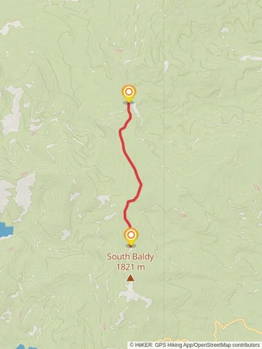
Starting near Pend Oreille County, Washington, the Browns Lake Trail is an inviting out-and-back trail that stretches approximately 4 km (2.5 miles) with an elevation gain of around 100 meters (328 feet). This medium-difficulty trail offers a delightful mix of natural beauty and historical intrigue, making it a rewarding experience for hikers of various skill levels.
### Getting There To reach the trailhead, you can drive or use public transport. If driving, head towards the nearest significant landmark, which is the town of Newport, Washington. From Newport, take Highway 20 north for about 20 miles until you reach the junction with Browns Lake Road. Follow Browns Lake Road for approximately 5 miles to reach the trailhead parking area. For those using public transport, the nearest bus stop is in Newport, from where you can arrange a taxi or rideshare to the trailhead.
### Trail Navigation and Landmarks Starting from the trailhead, the path initially meanders through a dense forest of Douglas fir and western red cedar. The first 1 km (0.6 miles) is relatively flat, making it a good warm-up stretch. As you proceed, keep an eye out for the diverse flora, including wildflowers like lupines and Indian paintbrush, especially vibrant in the spring and early summer.
### Elevation Gain and Terrain After the initial flat section, the trail begins to ascend gradually. Over the next 2 km (1.2 miles), you will gain most of the 100 meters (328 feet) in elevation. The terrain here can be a bit rocky and uneven, so sturdy hiking boots are recommended. Along this stretch, you might spot wildlife such as deer, squirrels, and a variety of bird species, including woodpeckers and hawks.
### Historical Significance The region around Browns Lake has a rich history. It was traditionally inhabited by the Kalispel Tribe, who utilized the area for hunting and gathering. As you hike, you might notice some interpretive signs that provide insights into the historical and cultural significance of the land. These signs are a great way to learn about the indigenous heritage and the natural history of the area.
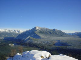
### Reaching Browns Lake At around the 3 km (1.9 miles) mark, the trail levels out as you approach Browns Lake. The lake itself is a serene body of water surrounded by lush vegetation and towering trees. It's an excellent spot for a picnic or a short rest. The clear waters of the lake reflect the surrounding landscape, creating a picturesque scene that's perfect for photography.
### Return Journey The return journey follows the same path back to the trailhead. While descending, take the opportunity to enjoy the views you might have missed on the way up. The downhill sections can be a bit slippery, especially after rain, so take your time and watch your footing.
### Navigation Tools For those who prefer digital navigation, the HiiKER app is an excellent tool to use. It provides detailed maps and real-time tracking to ensure you stay on the right path throughout your hike.
Whether you're a seasoned hiker or a beginner looking for a moderate challenge, the Browns Lake Trail offers a fulfilling outdoor adventure with its blend of natural beauty, wildlife, and historical significance.
Reviews
User comments, reviews and discussions about the Browns Lake Trail, Washington.
5.0
average rating out of 5
6 rating(s)


