7.9 km
~2 hrs 12 min
383 m
“Embark on the Lewis Butte Loop Trail for a scenic 8 km adventure with stunning views and rich history.”
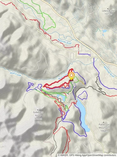
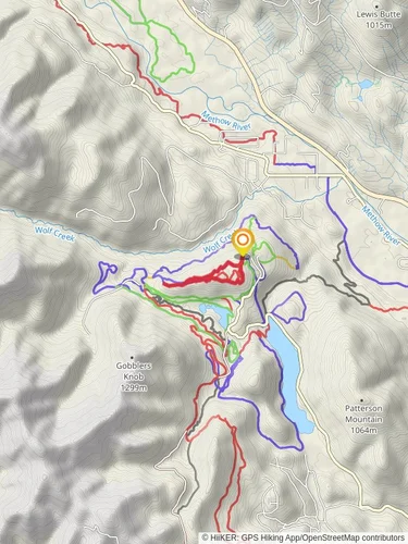
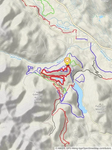
Starting your adventure near Okanogan County, Washington, the Lewis Butte Loop Trail offers a captivating 8 km (approximately 5 miles) journey with an elevation gain of around 300 meters (about 984 feet). This loop trail is rated as medium difficulty, making it accessible for most hikers with a moderate level of fitness.
### Getting There To reach the trailhead, you can drive or use public transport. If driving, head towards the Methow Valley, specifically near the town of Winthrop. The trailhead is conveniently located near the Methow Trails system, which is well-signposted. For those using public transport, the nearest significant landmark is the Winthrop Town Trailhead, accessible via local bus services from nearby towns.
### Trail Overview The Lewis Butte Loop Trail begins with a gentle ascent through open meadows, offering panoramic views of the surrounding valleys and distant mountain ranges. As you progress, the trail becomes steeper, winding through a mix of pine forests and open ridges. The initial 2 km (1.2 miles) of the trail will see you gaining most of the elevation, approximately 200 meters (656 feet), as you make your way up to the butte.
### Key Landmarks and Points of Interest - Wildflower Meadows: In the spring and early summer, the meadows are blanketed with a vibrant array of wildflowers, including lupines, balsamroot, and Indian paintbrush. This is a prime spot for photography and nature observation. - Lewis Butte Summit: At around the 4 km (2.5 miles) mark, you’ll reach the summit of Lewis Butte. Here, you can take a well-deserved break and enjoy sweeping views of the Methow Valley and the North Cascades. On clear days, you might even spot Mount Rainier in the distance. - Wildlife: Keep an eye out for local wildlife such as mule deer, black bears, and a variety of bird species including hawks and eagles. Early morning or late afternoon hikes increase your chances of wildlife sightings.
### Historical Significance The Methow Valley, where the Lewis Butte Loop Trail is located, has a rich history. It was originally inhabited by the Methow people, a Native American tribe known for their fishing and hunting skills. The valley later became a hub for fur trading in the 19th century and saw a boom during the gold rush era. Hiking this trail offers a glimpse into the natural beauty that has drawn people to this region for centuries.
### Navigation and Safety For navigation, it’s highly recommended to use the HiiKER app, which provides detailed maps and real-time updates. The trail is well-marked, but having a reliable navigation tool ensures you stay on track, especially in areas where the path may be less distinct.
### Final Stretch The descent from Lewis Butte is gradual, taking you through more forested areas and eventually looping back to the trailhead. The final 4 km (2.5 miles) are relatively easy, allowing you to enjoy the serene environment and reflect on the stunning vistas you’ve encountered.
This trail offers a perfect blend of moderate challenge, natural beauty, and historical context, making it a rewarding experience for any hiker.
Reviews
User comments, reviews and discussions about the Lewis Butte Loop Trail, Washington.
5.0
average rating out of 5
12 rating(s)


