Download
Preview
Add to list
More
33.8 km
~2 day
2276 m
Out and Back
“The Juniper Ridge Trail in Washington offers 34 kilometers of scenic, challenging hiking with historical and natural highlights.”
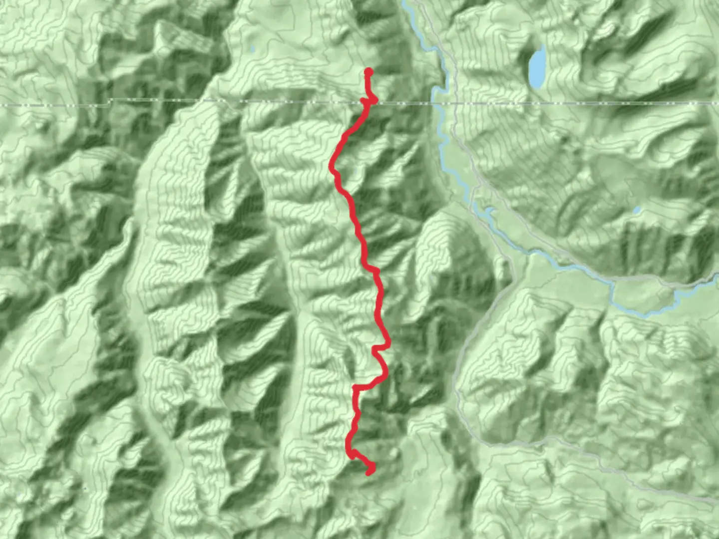
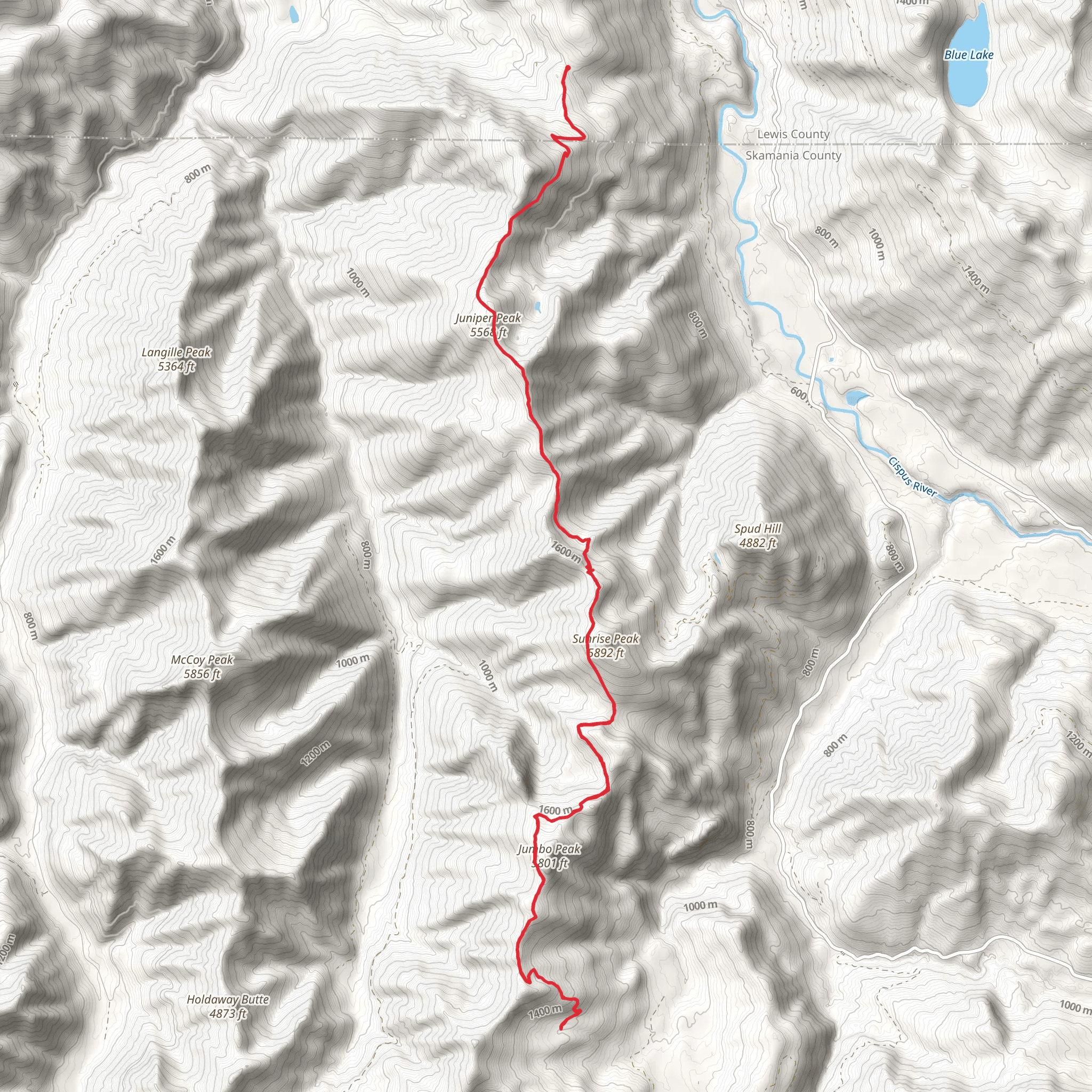
Starting near Lewis County, Washington, the Juniper Ridge Trail offers a challenging yet rewarding hiking experience. Spanning approximately 34 kilometers (21 miles) with an elevation gain of around 2200 meters (7218 feet), this out-and-back trail is rated as medium difficulty, making it suitable for moderately experienced hikers.
Getting There To reach the trailhead, you can drive or use public transport. If driving, head towards the nearest significant landmark, which is the town of Randle, Washington. From Randle, take Forest Road 23 south for about 20 miles until you reach the trailhead. For those using public transport, the nearest bus stop is in Randle, from where you may need to arrange a taxi or rideshare to the trailhead.
Trail Overview The Juniper Ridge Trail begins with a gradual ascent through dense forest, offering a serene start to your hike. The first 5 kilometers (3 miles) will take you through a canopy of Douglas fir and western hemlock, with the trail gradually gaining elevation. Keep an eye out for deer and various bird species that inhabit this area.
Mid-Trail Highlights As you progress, the trail becomes steeper, and around the 10-kilometer (6-mile) mark, you'll encounter the first significant viewpoint. Here, you can take a break and enjoy panoramic views of the surrounding Cascade Range. This section of the trail is also known for its wildflower meadows, which are particularly vibrant in late spring and early summer.
Historical Significance Around the 15-kilometer (9-mile) point, you'll come across remnants of old logging operations from the early 20th century. These historical markers offer a glimpse into the region's past and its significance in the timber industry. Take a moment to appreciate the history while you catch your breath.
Final Ascent and Summit The final stretch of the trail is the most challenging, with a steep ascent leading to the summit of Juniper Ridge. This section covers the last 4 kilometers (2.5 miles) and gains approximately 600 meters (1968 feet) in elevation. The effort is well worth it, as the summit provides breathtaking 360-degree views, including Mount Rainier to the north and Mount St. Helens to the south.
Wildlife and Flora Throughout the hike, you'll encounter diverse flora and fauna. Black bears are occasionally spotted, so carrying bear spray is advisable. The trail is also home to various species of wildflowers, including lupines and Indian paintbrush, which add vibrant colors to the landscape.
Navigation and Safety Given the trail's length and elevation gain, it's crucial to be well-prepared. Use HiiKER for accurate navigation and trail conditions. Ensure you have adequate water, food, and weather-appropriate clothing. The trail can be snow-covered in early spring and late fall, so check conditions before you go.
Return Journey The return journey follows the same path, allowing you to revisit the scenic spots and historical markers you encountered on the way up. The descent can be tough on the knees, so trekking poles are recommended.
This trail offers a blend of natural beauty, historical significance, and physical challenge, making it a memorable adventure for those who undertake it.
What to expect?
Activity types
Comments and Reviews
User comments, reviews and discussions about the Juniper Ridge Trail, Washington.
4.71
average rating out of 5
7 rating(s)
