Download
Preview
Add to list
More
Trail length
4.1 km
Time
~49 min
Elevation Gain
10 m
Hike Type
Loop
“Explore the picturesque Chehalis River Discovery Trail, a 4 km loop with rich flora, fauna, and history.”
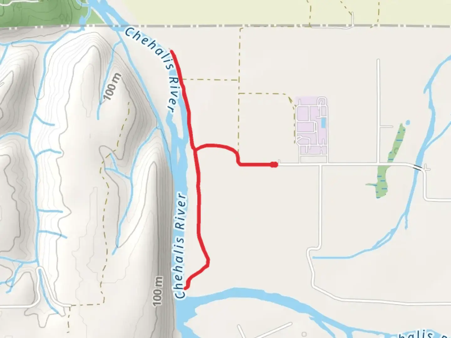
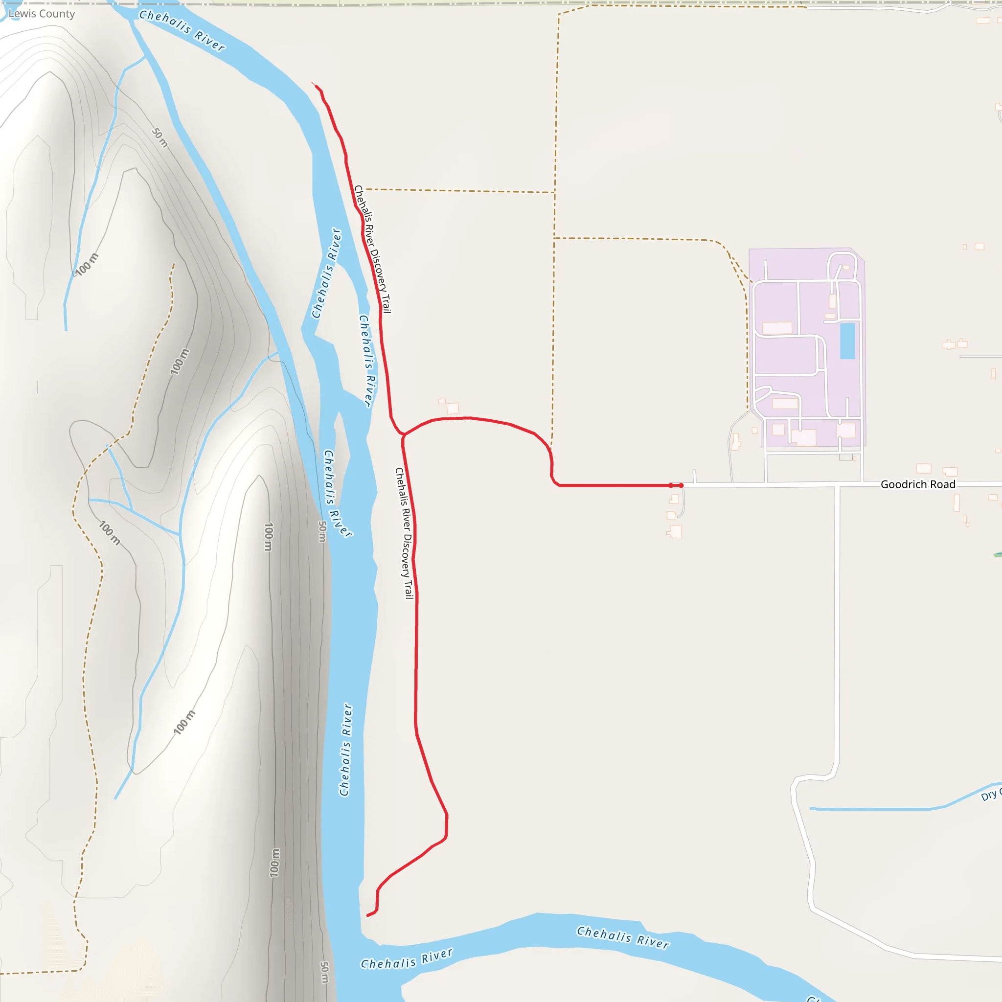
The Chehalis River Discovery Trail is a delightful 4 km (2.5 miles) loop trail located near Lewis County, Washington. With an elevation gain of approximately 0 meters (0 feet), this trail is accessible for hikers of varying skill levels, though it is rated as medium difficulty due to some uneven terrain and natural obstacles.
Getting There To reach the trailhead, you can drive or use public transportation. If driving, head towards Lewis County, Washington, and look for signs directing you to the Chehalis River Discovery Trail. The nearest significant landmark is the Riverside Golf Club, located at 1451 NW Airport Rd, Chehalis, WA 98532. For those using public transport, the closest bus stop is at the Lewis County Mall, from where you can take a short taxi ride or a rideshare service to the trailhead.
Trail Navigation For navigation, it is highly recommended to use the HiiKER app, which provides detailed maps and real-time updates. This will help you stay on track and make the most of your hiking experience.
What to Expect The trail meanders through a lush, forested area alongside the Chehalis River, offering picturesque views and a serene atmosphere. The path is well-marked but can be muddy after rainfall, so waterproof hiking boots are advisable.
Flora and Fauna As you hike, you'll encounter a variety of native plants, including Douglas firs, western red cedars, and bigleaf maples. The underbrush is rich with ferns, salal, and Oregon grape. Wildlife is abundant; keep an eye out for deer, raccoons, and a variety of bird species such as bald eagles and great blue herons.
Significant Landmarks Approximately 1 km (0.6 miles) into the hike, you'll come across a charming wooden footbridge that spans a small creek feeding into the Chehalis River. This is a great spot for photos and a brief rest. At around the 2 km (1.2 miles) mark, you'll find an interpretive sign detailing the history of the Chehalis people, the indigenous inhabitants of the region. This area holds significant cultural importance, and the sign provides valuable insights into their way of life and historical presence.
Historical Significance The Chehalis River area has a rich history, deeply intertwined with the Chehalis Tribe. The river itself was a crucial resource for fishing, transportation, and trade. The interpretive signs along the trail offer a glimpse into the past, highlighting the tribe's sustainable practices and their harmonious relationship with the environment.
Final Stretch As you near the end of the loop, the trail opens up to a scenic viewpoint overlooking the river. This is an ideal spot to take a break and enjoy the tranquil surroundings before completing the final leg of your hike. The last stretch of the trail is relatively flat and easy, leading you back to the trailhead.
Preparation Tips Given the medium difficulty rating, it's advisable to bring plenty of water, snacks, and a basic first-aid kit. Dress in layers, as the weather can be unpredictable, and always let someone know your hiking plans. Using the HiiKER app will ensure you have the most accurate and up-to-date information for a safe and enjoyable hike.
What to expect?
wheelchair-friendly
dog-friendly
forest
family-friendly
rivers
stroller-friendly
scenic-views
wildlife
Activity types
hiking
trail-running
walking
Comments and Reviews
User comments, reviews and discussions about the Chehalis River Discovery Trail, Washington.
4.75
average rating out of 5
8 rating(s)
