Download
Preview
Add to list
More
10.2 km
~3 hrs 36 min
938 m
Loop
“Embark on the Little Moab Trail and Coyote Wall Trail loop for stunning views and rich biodiversity.”
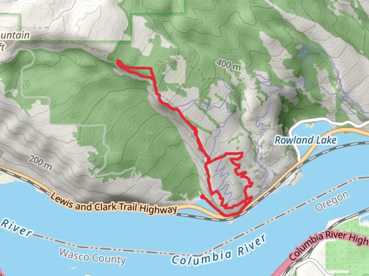
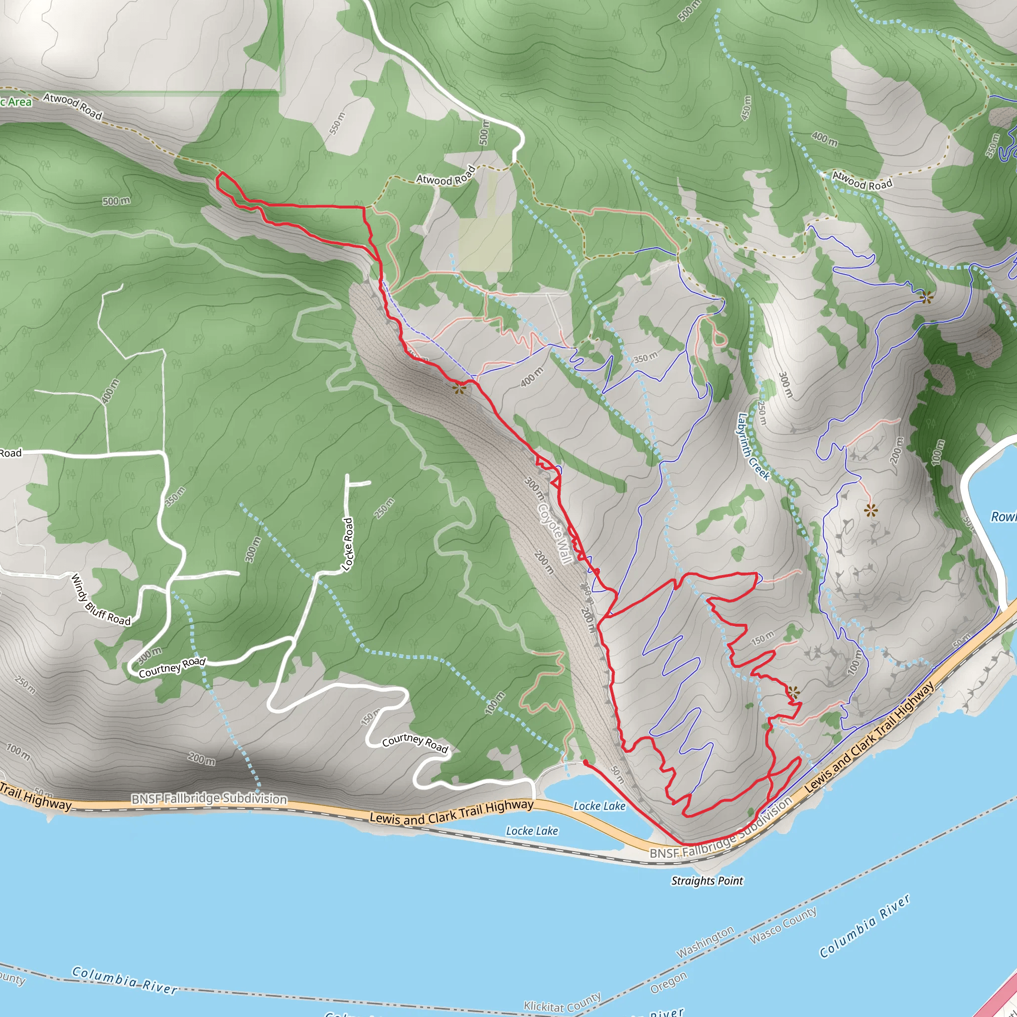
Starting your adventure near Klickitat County, Washington, the Little Moab Trail and Coyote Wall Trail loop offers a captivating journey through diverse landscapes. This 10 km (6.2 miles) loop with an elevation gain of approximately 900 meters (2,950 feet) is rated medium in difficulty, making it suitable for moderately experienced hikers.
Getting There To reach the trailhead, you can drive or use public transport. If driving, head towards the Catherine Creek Trailhead, located near Bingen, WA. From there, follow the signs to the Coyote Wall Trailhead. For those using public transport, the nearest significant landmark is the Bingen-White Salmon Amtrak Station. From the station, you may need to arrange a taxi or rideshare to the trailhead, as public transport options are limited in this rural area.
Trail Navigation Using HiiKER for navigation is highly recommended. The app provides detailed maps and real-time updates, ensuring you stay on the correct path throughout your hike.
Trail Description The trail begins with a gradual ascent through oak woodlands and open meadows, offering panoramic views of the Columbia River Gorge. At around 1.5 km (0.9 miles) in, you'll encounter the first significant viewpoint, where you can take in the sweeping vistas of the river and surrounding cliffs.
Key Landmarks and Elevation As you continue, the trail becomes steeper, climbing towards the Coyote Wall. This section, approximately 3 km (1.9 miles) from the start, is known for its dramatic basalt cliffs and unique geological formations. The elevation gain here is noticeable, with a rise of about 300 meters (985 feet) over this stretch.
Flora and Fauna The area is rich in biodiversity. In spring, the meadows are blanketed with wildflowers such as lupines and balsamroots. Keep an eye out for local wildlife, including deer, hawks, and occasionally, bald eagles soaring above the cliffs.
Historical Significance The Columbia River Gorge has a rich history, with evidence of Native American habitation dating back thousands of years. The Klickitat Tribe, in particular, has deep roots in this region. The trail itself offers a glimpse into the geological history of the area, with its striking basalt formations formed by ancient volcanic activity.
Midpoint and Descent At around the 5 km (3.1 miles) mark, you'll reach the highest point of the trail, offering unparalleled views of the gorge and Mount Hood in the distance. This is an excellent spot for a break and some photography. From here, the trail loops back, descending gradually through a series of switchbacks.
Final Stretch The final 2 km (1.2 miles) of the trail take you through a mix of forested areas and open meadows, eventually leading back to the trailhead. This section is less strenuous, allowing you to enjoy the serene environment and reflect on the journey.
Safety and Preparation Given the elevation gain and varied terrain, it's essential to be well-prepared. Bring plenty of water, snacks, and wear sturdy hiking boots. Weather can change rapidly in the gorge, so layers are advisable. Always check trail conditions on HiiKER before setting out.
This loop trail offers a rewarding experience with its stunning views, rich biodiversity, and historical significance, making it a must-visit for any hiking enthusiast.
What to expect?
Activity types
Comments and Reviews
User comments, reviews and discussions about the Little Moab Trail and Coyote Wall Trail, Washington.
4.69
average rating out of 5
13 rating(s)
