Download
Preview
Add to list
More
10.4 km
~2 hrs 38 min
336 m
Out and Back
“The Wenatchee Ridge trail offers a scenic 10 km hike rich in natural beauty and historical landmarks.”
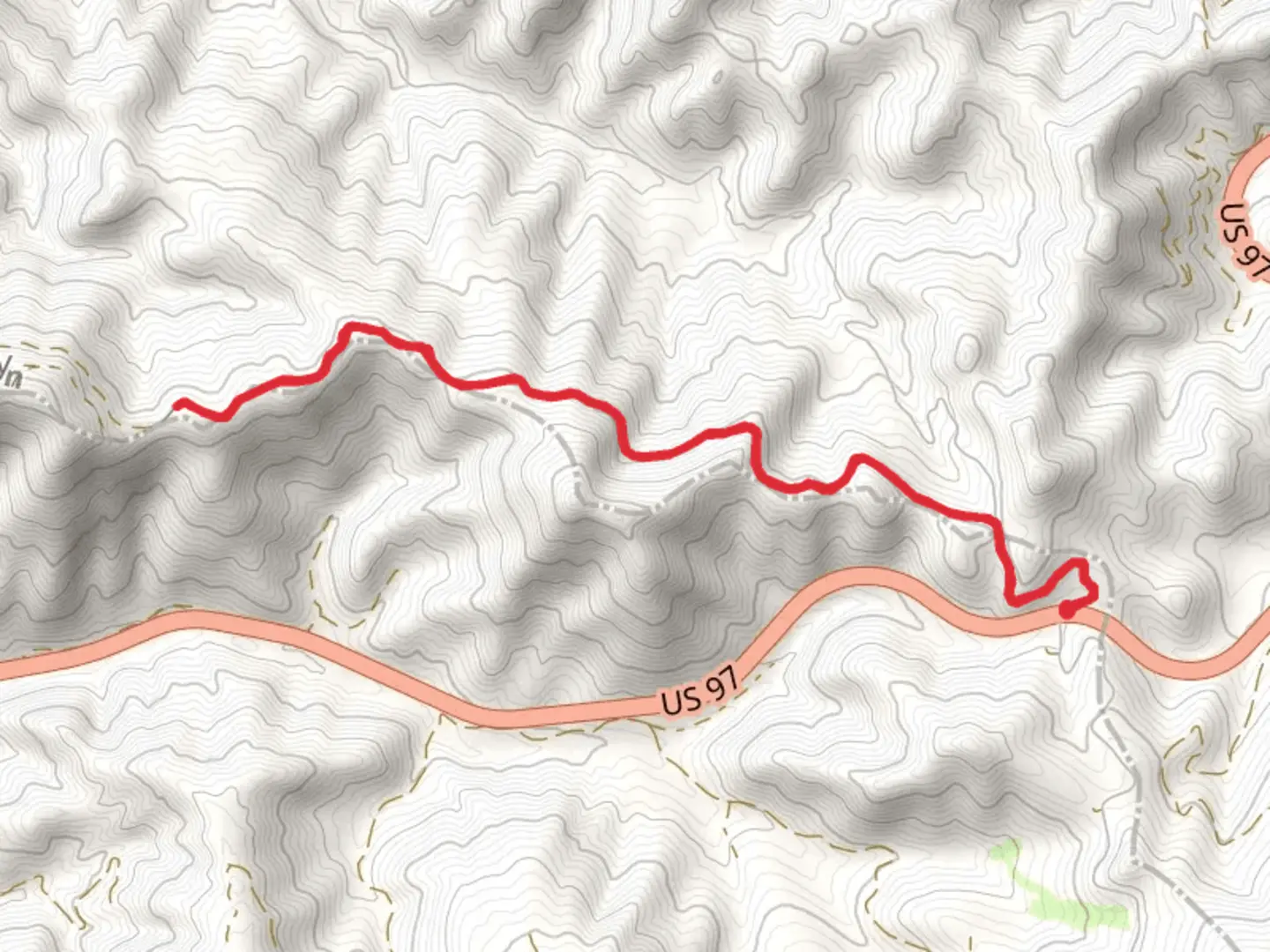
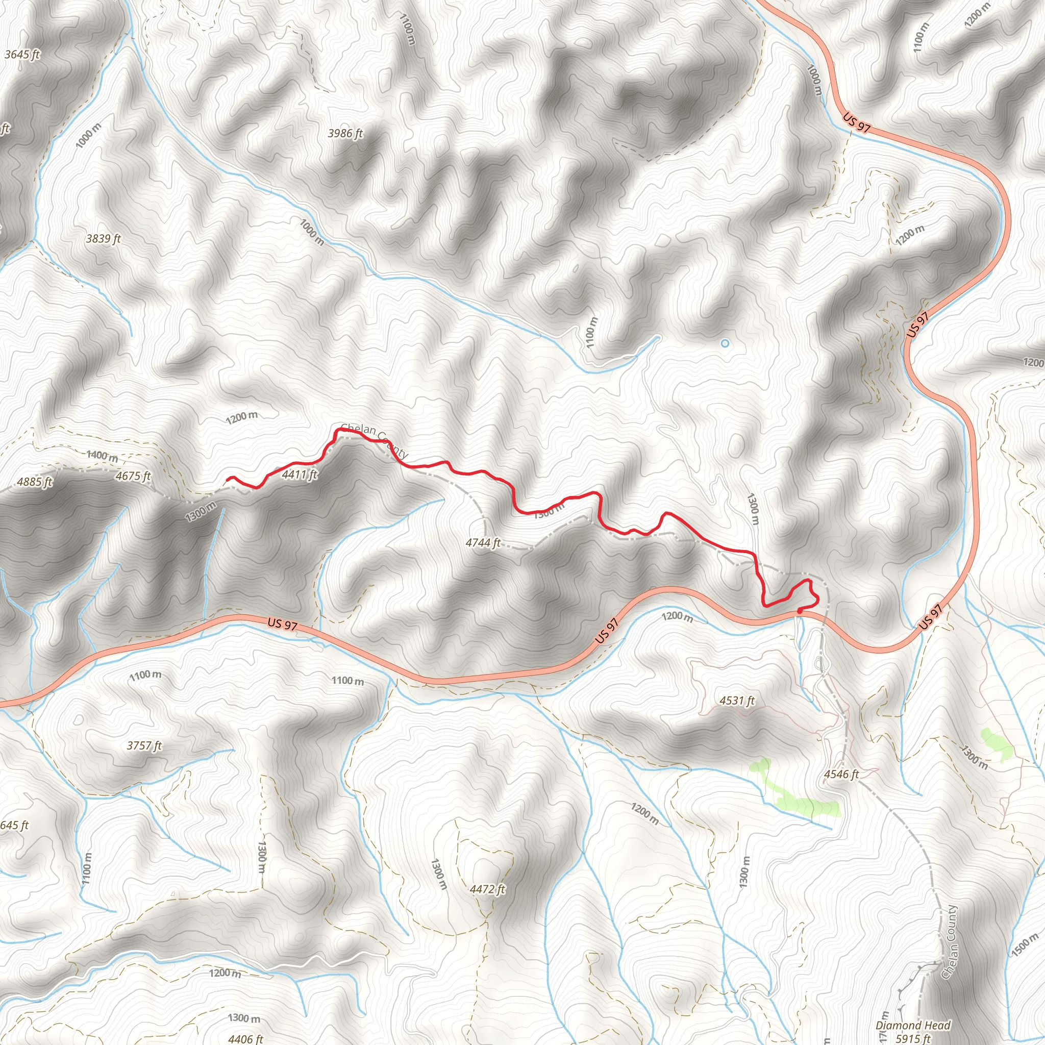
Starting near Kittitas County, Washington, the Wenatchee Ridge trail offers a rewarding out-and-back hike that spans approximately 10 km (6.2 miles) with an elevation gain of around 300 meters (984 feet). This medium-difficulty trail is perfect for those looking to experience the natural beauty of the Pacific Northwest without an overly strenuous climb.
Getting There
To reach the trailhead, you can drive or use public transportation. If driving, head towards Kittitas County and look for signs directing you to the Wenatchee Ridge trailhead. The nearest significant landmark is the town of Cle Elum, which is about a 20-minute drive from the trailhead. For those using public transport, buses run from Seattle to Cle Elum, where you can then take a local taxi or rideshare service to the trailhead.
Trail Overview
The trail begins with a gentle ascent through a mixed forest of Douglas fir and ponderosa pine. The first kilometer (0.6 miles) is relatively easy, allowing you to warm up as you navigate through the shaded canopy. Keep an eye out for deer and various bird species, including woodpeckers and jays, which are commonly seen in this area.
Key Landmarks and Points of Interest
#### 2 km (1.2 miles) Mark: Meadow Clearing
At around the 2 km (1.2 miles) mark, you'll come across a beautiful meadow clearing. This is a great spot to take a short break and enjoy the wildflowers that bloom in the spring and summer months. The meadow also offers panoramic views of the surrounding ridges and valleys.
#### 4 km (2.5 miles) Mark: Historical Significance
As you continue, the trail begins to climb more steeply. Around the 4 km (2.5 miles) mark, you'll encounter remnants of old logging operations from the early 20th century. These historical artifacts offer a glimpse into the region's past and its significance in the timber industry. Interpretive signs provide additional information about the history and ecology of the area.
#### 5 km (3.1 miles) Mark: Ridge Overlook
The trail reaches its highest point at approximately 5 km (3.1 miles), where you'll find a stunning ridge overlook. From here, you can see the Wenatchee River winding through the valley below and the Cascade Mountains in the distance. This is the perfect spot for a picnic and some photography before heading back down.
Wildlife and Flora
The Wenatchee Ridge trail is home to a diverse range of flora and fauna. In addition to the deer and birds mentioned earlier, you might also spot black bears, especially in the late summer and early fall when they are foraging for berries. The trail is lined with various wildflowers, including lupines, Indian paintbrush, and columbines, making it a colorful journey during the blooming season.
Navigation and Safety
Given the moderate difficulty of the trail, it's advisable to use a reliable navigation tool like HiiKER to ensure you stay on track. The trail is well-marked, but having a digital map can provide extra peace of mind. Always carry enough water, snacks, and a basic first-aid kit. Weather can change rapidly in this region, so bring layers and be prepared for sudden shifts in temperature.
Final Stretch
The return journey follows the same path, allowing you to revisit the scenic spots and perhaps notice details you missed on the way up. The descent is generally easier, but take care on the steeper sections to avoid slipping.
By the time you complete the Wenatchee Ridge trail, you'll have experienced a rich tapestry of natural beauty, historical intrigue, and diverse wildlife, all within a manageable 10 km (6.2 miles) hike.
What to expect?
Activity types
Comments and Reviews
User comments, reviews and discussions about the Wenatchee Ridge, Washington.
4.67
average rating out of 5
15 rating(s)
