Download
Preview
Add to list
More
18.6 km
~1 day 0 hrs
916 m
Point-to-Point
“Embark on the captivating Sasse Mountain and West Fork Teanaway Trail for stunning views and rich history.”
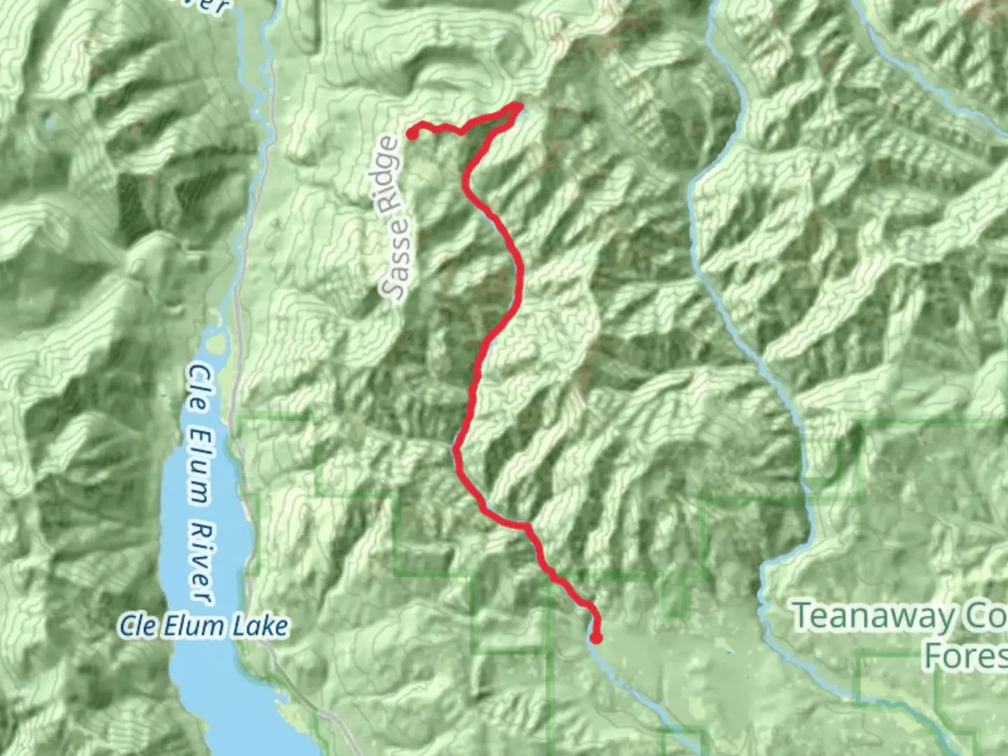
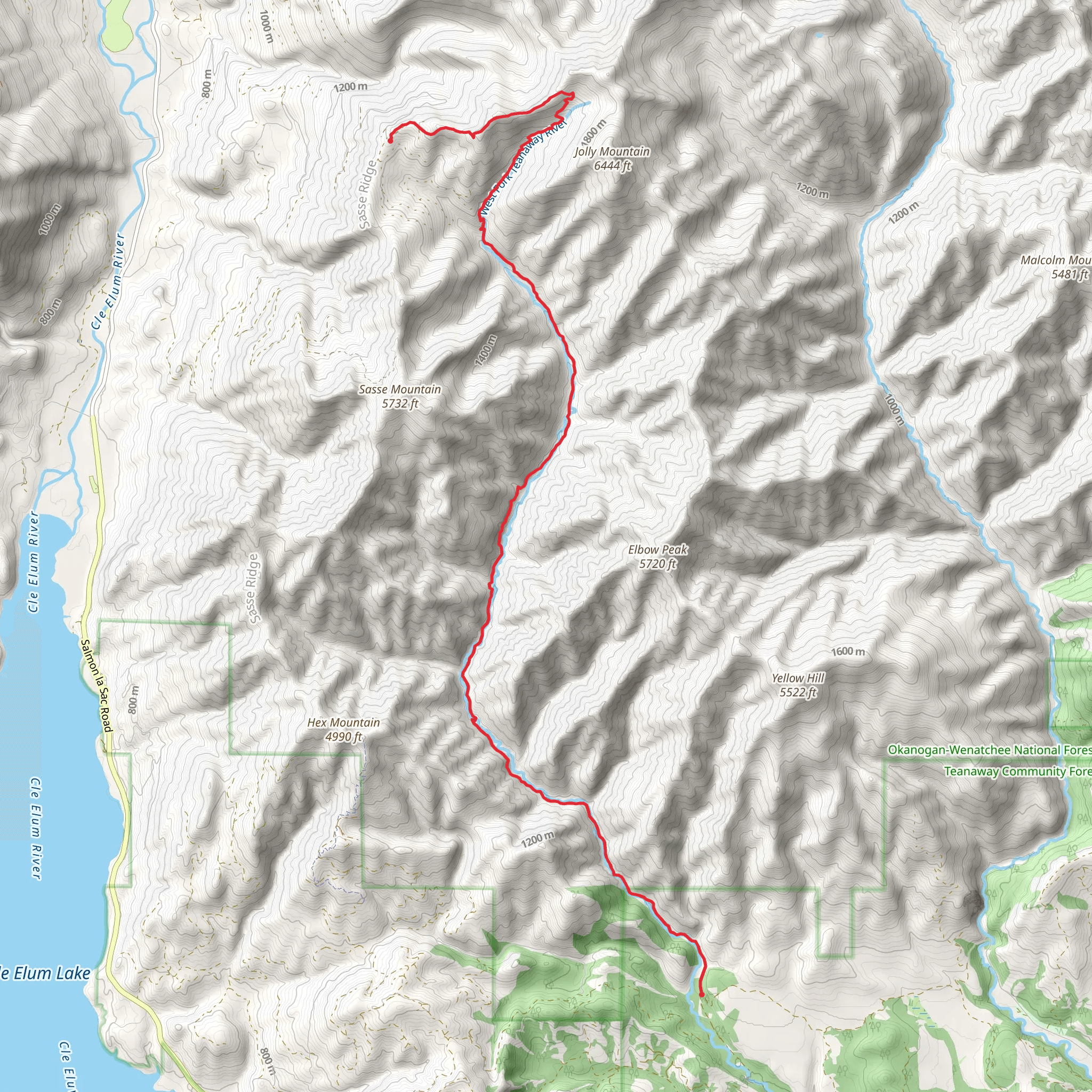
Starting your adventure near Kittitas County, Washington, the Sasse Mountain and West Fork Teanaway Trail offers a captivating journey through the heart of the Cascade Range. This point-to-point trail spans approximately 19 kilometers (around 12 miles) with an elevation gain of about 900 meters (approximately 3,000 feet), making it a moderately challenging hike suitable for those with some experience.
Getting There To reach the trailhead, you can drive or use public transportation. If driving, head towards Cle Elum, Washington, and follow signs to the Teanaway Community Forest. The nearest significant landmark is the Teanaway Campground, which serves as a good reference point. For those relying on public transport, the nearest bus stop is in Cle Elum, from where you can arrange a taxi or rideshare to the trailhead.
Trail Overview The trail begins with a gentle ascent through dense forests of Douglas fir and western hemlock. As you progress, the path becomes steeper, offering glimpses of the surrounding peaks. At around 5 kilometers (3 miles) in, you'll reach a ridge that provides panoramic views of the Teanaway River Valley and the distant Stuart Range.
Key Landmarks and Points of Interest - **Sasse Mountain Summit**: Approximately 10 kilometers (6 miles) into the hike, you'll reach the summit of Sasse Mountain. At an elevation of about 1,800 meters (5,900 feet), this spot offers breathtaking 360-degree views. On clear days, you can see Mount Rainier to the south and Mount Stuart to the north. - **West Fork Teanaway River**: As you descend from Sasse Mountain, the trail follows the West Fork Teanaway River. This section is particularly scenic, with the river's clear waters and the lush greenery providing a serene backdrop. Keep an eye out for wildlife such as deer, black bears, and various bird species. - **Historical Significance**: The Teanaway area has a rich history, with evidence of Native American use dating back thousands of years. The name "Teanaway" is derived from a Native American word meaning "place of the bear." In the late 19th and early 20th centuries, the region was also a hub for logging and mining activities.
Navigation and Safety Given the trail's moderate difficulty, it's essential to be well-prepared. The path is well-marked, but carrying a reliable navigation tool like HiiKER is recommended to ensure you stay on track. Weather conditions can change rapidly in the Cascades, so pack layers and be prepared for rain or sudden temperature drops.
Flora and Fauna The trail traverses diverse ecosystems, from dense coniferous forests to alpine meadows. In spring and early summer, the meadows are adorned with wildflowers such as lupine, Indian paintbrush, and avalanche lilies. The forested sections are home to a variety of wildlife, including elk, black bears, and numerous bird species like the mountain bluebird and the northern goshawk.
Final Stretch The final section of the trail descends gradually, leading you through a series of switchbacks before reaching the endpoint near the West Fork Teanaway Campground. This area is a great spot to rest and reflect on the journey, with the soothing sounds of the river providing a peaceful ambiance.
By planning ahead and being mindful of the trail's challenges and rewards, you'll be well-prepared to enjoy the natural beauty and historical richness of the Sasse Mountain and West Fork Teanaway Trail.
What to expect?
Activity types
Comments and Reviews
User comments, reviews and discussions about the Sasse Mountain and West Fork Teanaway Trail, Washington.
4.6
average rating out of 5
10 rating(s)
