Download
Preview
Add to list
More
18.1 km
~1 day 2 hrs
2580 m
Out and Back
“Embark on an 18 km adventure from Kittitas County to Mount Stuart, featuring lush forests, panoramic views, and challenging terrain.”
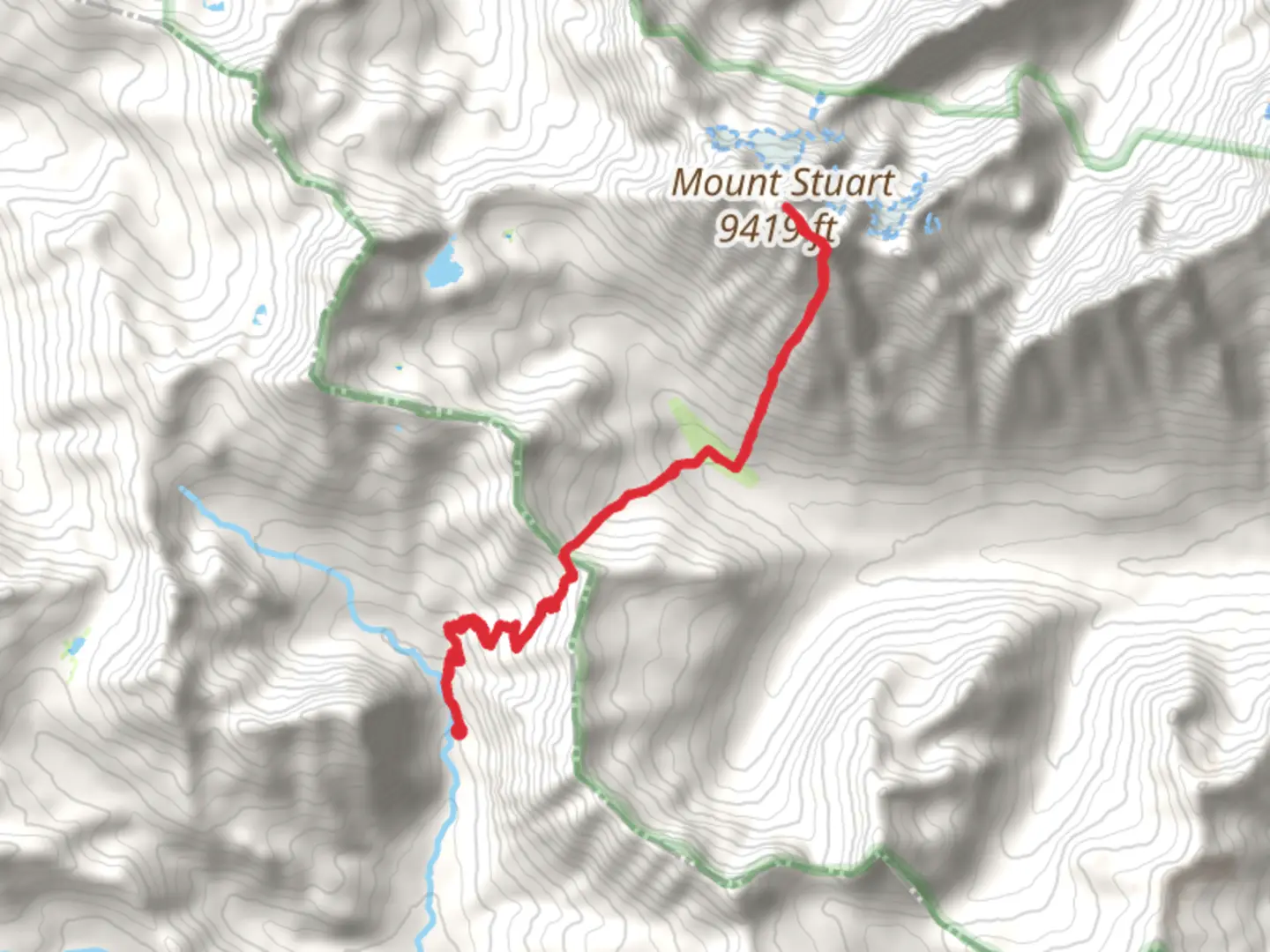
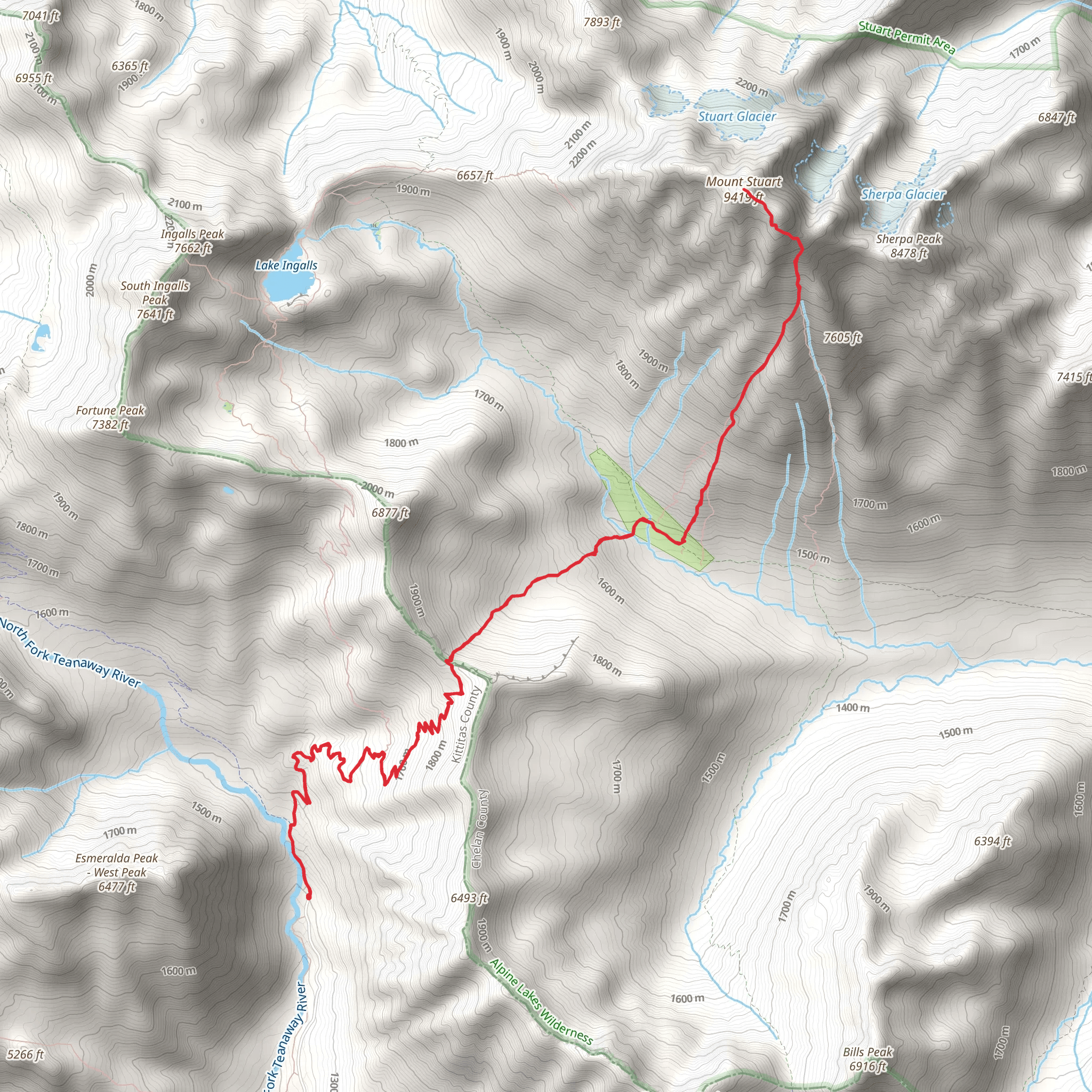
Starting your journey near Kittitas County, Washington, the Mount Stuart via Longs Pass Trail is an 18 km (11.2 miles) out-and-back adventure with an elevation gain of approximately 2500 meters (8202 feet). This trail is rated as medium difficulty, making it suitable for experienced hikers looking for a challenging yet rewarding experience.
Getting There To reach the trailhead, you can drive or use public transport. If driving, head towards the Esmeralda Basin Trailhead, which is the nearest known landmark. From Seattle, it's about a 2-hour drive via I-90 E and US-97 N. For those using public transport, you can take a bus to Cle Elum and then arrange for a local taxi or rideshare to the trailhead.
Trail Overview The trail begins at the Esmeralda Basin Trailhead, where you'll find ample parking and basic facilities. The initial section of the trail is relatively gentle, allowing you to warm up as you traverse through lush forests and meadows. After about 3 km (1.9 miles), you'll start to notice a gradual increase in elevation.
Significant Landmarks and Elevation At around the 5 km (3.1 miles) mark, you'll reach Ingalls Pass, which offers stunning views of the surrounding peaks and valleys. This is a great spot to take a short break and hydrate. From here, the trail becomes steeper as you approach Longs Pass, situated approximately 7 km (4.3 miles) from the trailhead. The elevation gain is more pronounced in this section, so pace yourself accordingly.
Longs Pass to Mount Stuart Upon reaching Longs Pass, you'll be greeted with panoramic views of Mount Stuart, one of the highest non-volcanic peaks in the Cascade Range. The pass itself sits at an elevation of about 2000 meters (6562 feet). From Longs Pass, the trail descends slightly before the final ascent to Mount Stuart. This section is rocky and can be challenging, so make sure to have sturdy hiking boots and possibly trekking poles for added stability.
Flora and Fauna The trail is rich in biodiversity. In the lower elevations, you'll encounter dense forests of Douglas fir and western hemlock. As you ascend, the vegetation transitions to alpine meadows filled with wildflowers during the summer months. Keep an eye out for wildlife such as marmots, mountain goats, and occasionally black bears. Birdwatchers will also enjoy spotting various species of raptors and songbirds.
Historical Significance The region around Mount Stuart has a rich history. It was originally inhabited by Native American tribes such as the Yakama and Wenatchi, who used the area for hunting and gathering. The name "Stuart" was given by early European settlers and explorers in honor of a prominent figure in the local community.
Navigation and Safety Given the trail's complexity, it's advisable to use a reliable navigation tool like HiiKER to keep track of your progress and ensure you stay on the correct path. Weather conditions can change rapidly, especially at higher elevations, so be prepared with appropriate gear, including layers, a rain jacket, and plenty of water.
Final Ascent and Return The final ascent to Mount Stuart is the most challenging part of the hike, with steep and rocky terrain. Once you reach the summit, the breathtaking views make the effort worthwhile. After soaking in the scenery, retrace your steps back to the trailhead, taking care to navigate the steep descents safely.
This trail offers a mix of natural beauty, challenging terrain, and historical significance, making it a must-do for avid hikers.
What to expect?
Activity types
Comments and Reviews
User comments, reviews and discussions about the Mount Stuart via Longs Pass Trail, Washington.
4.67
average rating out of 5
3 rating(s)
