Download
Preview
Add to list
More
10.9 km
~4 hrs 16 min
1255 m
Out and Back
“Embark on a challenging yet rewarding hike up Hibox Mountain via Rachel Lake Trail for stunning summit views.”
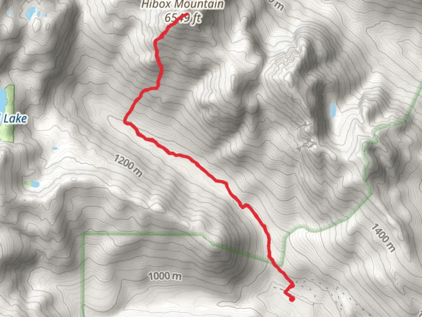
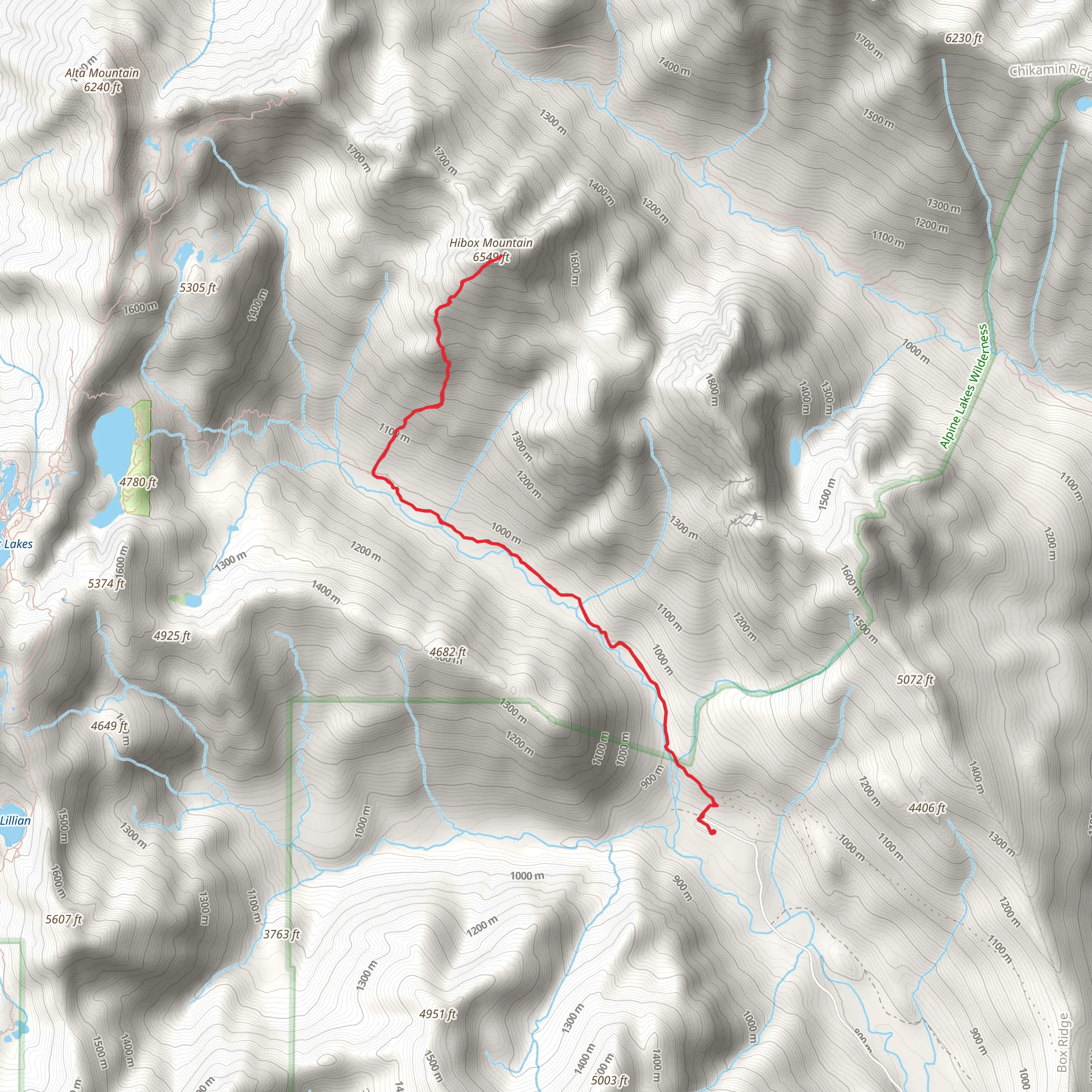
Starting your journey near Kittitas County, Washington, the Hibox Mountain via Rachel Lake Trail offers a challenging yet rewarding adventure. The trailhead is accessible by car, with the nearest significant landmark being the town of Snoqualmie Pass. From Seattle, it's about a 1.5-hour drive east on I-90. Public transport options are limited, so driving is recommended.
Trail Overview
The trail spans approximately 11 km (6.8 miles) round trip, with an elevation gain of around 1200 meters (3937 feet). This out-and-back trail is rated as medium difficulty, making it suitable for experienced hikers looking for a bit of a challenge.
Initial Ascent and Rachel Lake
Starting from the trailhead, the first segment of the hike takes you through dense forest, with a gradual incline that becomes steeper as you approach Rachel Lake. This section is about 4.8 km (3 miles) in, with an elevation gain of roughly 610 meters (2000 feet). The trail can be muddy and slippery, especially after rain, so good hiking boots are essential. Rachel Lake is a serene spot, perfect for a short break before tackling the more strenuous part of the hike.
Climbing to Hibox Mountain
From Rachel Lake, the trail becomes significantly steeper and more rugged. The next 2.4 km (1.5 miles) involve scrambling over rocks and navigating through dense vegetation. This section adds another 610 meters (2000 feet) of elevation gain. The path is less defined here, so using a navigation tool like HiiKER is highly recommended to stay on track.
Flora and Fauna
The trail is rich in biodiversity. In the lower sections, you'll encounter lush ferns, moss-covered trees, and a variety of wildflowers in the spring and summer. As you ascend, the vegetation becomes sparser, giving way to alpine meadows and rocky outcrops. Wildlife sightings are common, including deer, marmots, and occasionally black bears. Always practice Leave No Trace principles to preserve the natural beauty of the area.
Historical Significance
The region around Kittitas County has a rich history, with Native American tribes such as the Yakama and Kittitas having inhabited the area for centuries. The trails and passes were used for trade and travel long before modern hikers arrived. Understanding this historical context adds a layer of appreciation for the landscape you're traversing.
Final Push and Summit Views
The final push to the summit of Hibox Mountain is the most challenging part of the hike. The last 1.6 km (1 mile) involves a steep scramble, requiring both hands and feet. The effort is well worth it, as the summit offers panoramic views of the surrounding peaks, including Mount Rainier, Mount Stuart, and the Alpine Lakes Wilderness. On a clear day, the vistas are nothing short of breathtaking.
Descent
The descent follows the same path back to the trailhead. While going down is generally easier, the steep sections can be tough on the knees, so trekking poles can be very helpful. Take your time and enjoy the changing perspectives as you make your way back.
Preparation and Safety
Given the trail's difficulty, proper preparation is crucial. Bring plenty of water, snacks, and layers of clothing to adapt to changing weather conditions. A first-aid kit and a reliable navigation tool like HiiKER are essential. Always check the weather forecast before heading out, and let someone know your plans.
This hike offers a blend of natural beauty, physical challenge, and historical significance, making it a memorable experience for those who are well-prepared.
What to expect?
Activity types
Comments and Reviews
User comments, reviews and discussions about the Hibox Mountain via Rachel Lake Trail, Washington.
4.59
average rating out of 5
17 rating(s)
