Download
Preview
Add to list
More
3.6 km
~1 hrs 5 min
220 m
Out and Back
“Explore the scenic South 277th Corridor Trail, a moderately challenging 4km hike with rich history and stunning views.”
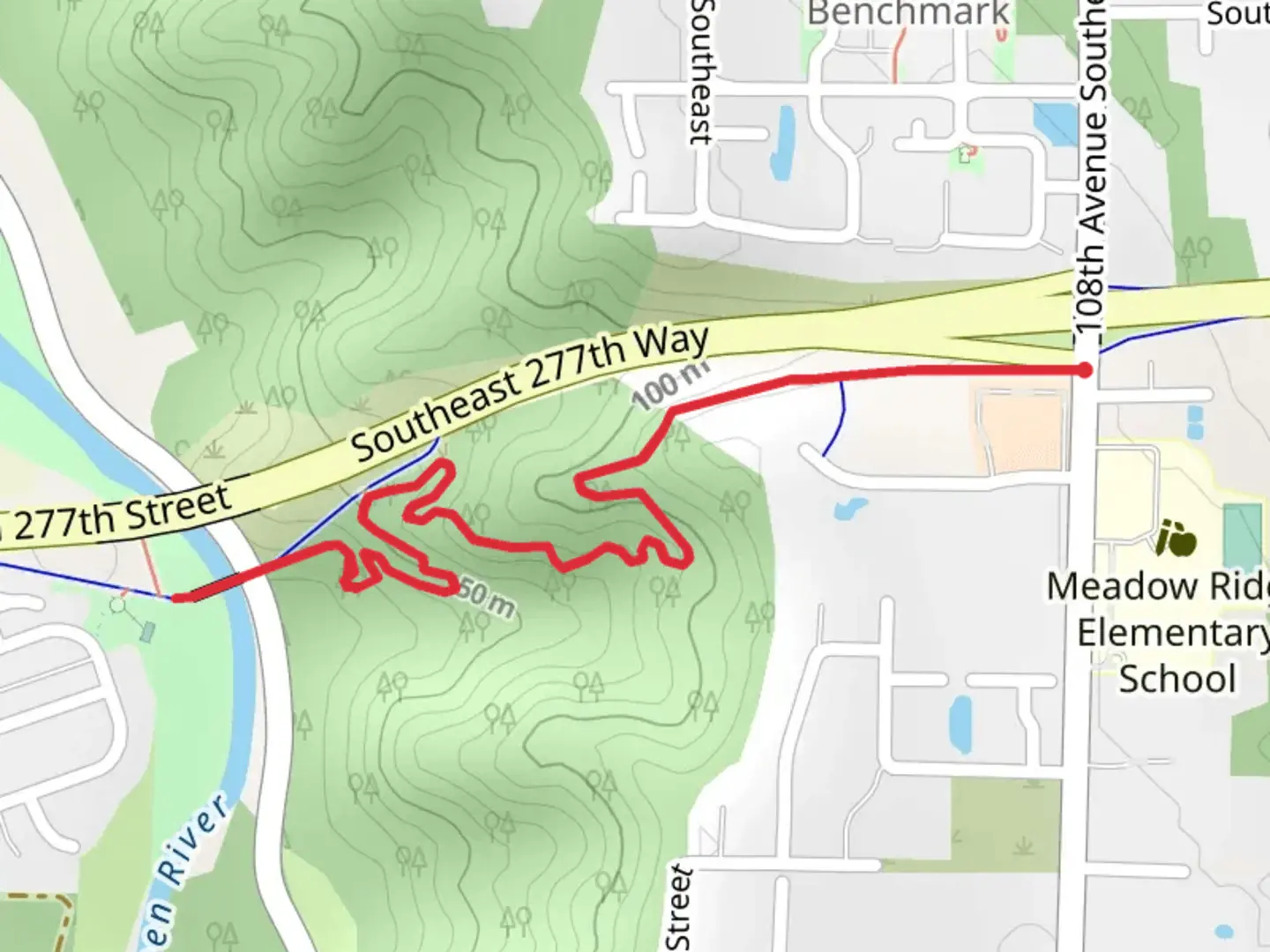
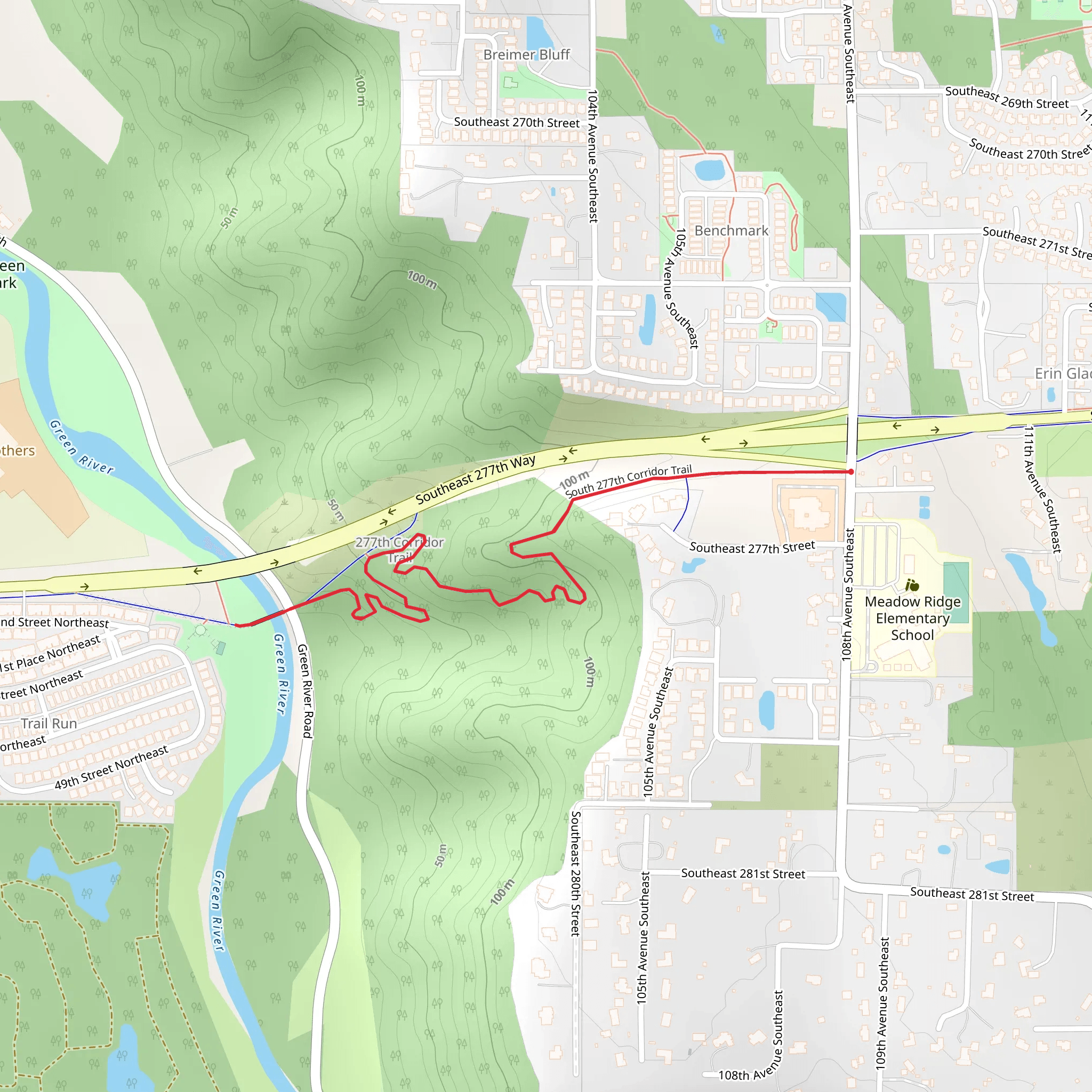
Starting near King County, Washington, the South 277th Corridor Trail is an out-and-back trail that spans approximately 4 kilometers (2.5 miles) with an elevation gain of around 200 meters (656 feet). This trail is rated as medium difficulty, making it suitable for moderately experienced hikers.### Getting There To reach the trailhead, you can drive or use public transportation. If driving, head towards the intersection of South 277th Street and Green River Road, where you can find parking nearby. For those using public transport, the nearest bus stop is at the intersection of South 277th Street and West Valley Highway, serviced by King County Metro Transit. From there, it's a short walk to the trailhead.### Trail Overview The trail begins with a gentle ascent, winding through a lush forested area. Early on, you'll encounter a mix of deciduous and evergreen trees, providing ample shade and a serene atmosphere. The first kilometer (0.6 miles) is relatively easy, with a gradual elevation gain of about 50 meters (164 feet).### Flora and Fauna As you progress, the trail becomes steeper, and you'll notice a change in vegetation. Ferns and mosses become more prevalent, and you might spot native wildlife such as deer, squirrels, and various bird species. Keep an eye out for the occasional bald eagle soaring overhead.### Significant Landmarks At approximately the 2-kilometer (1.2-mile) mark, you'll reach a small clearing that offers a panoramic view of the Green River Valley. This is a great spot to take a break and enjoy the scenery. The elevation gain to this point is around 100 meters (328 feet).### Historical Significance The region around the South 277th Corridor Trail has historical significance dating back to the early 20th century. The Green River Valley was once a bustling area for logging and agriculture. Remnants of old logging roads and equipment can still be found off the main trail, offering a glimpse into the area's past.### Navigation and Safety As you continue, the trail narrows and becomes more rugged. It's advisable to use a reliable navigation tool like HiiKER to stay on track. The final stretch involves a steeper climb, adding another 100 meters (328 feet) of elevation gain, before reaching the turnaround point.### Return Journey The return journey follows the same path, allowing you to enjoy the downhill sections and revisit the scenic viewpoints. Be cautious on the descent, as some parts can be slippery, especially after rain.### Final Tips Wear sturdy hiking boots and bring plenty of water, as there are no water sources along the trail. A trekking pole can be helpful for the steeper sections. Always check the weather forecast before heading out and let someone know your hiking plans.
What to expect?
Activity types
Comments and Reviews
User comments, reviews and discussions about the South 277th Corridor Trail, Washington.
4.47
average rating out of 5
15 rating(s)
