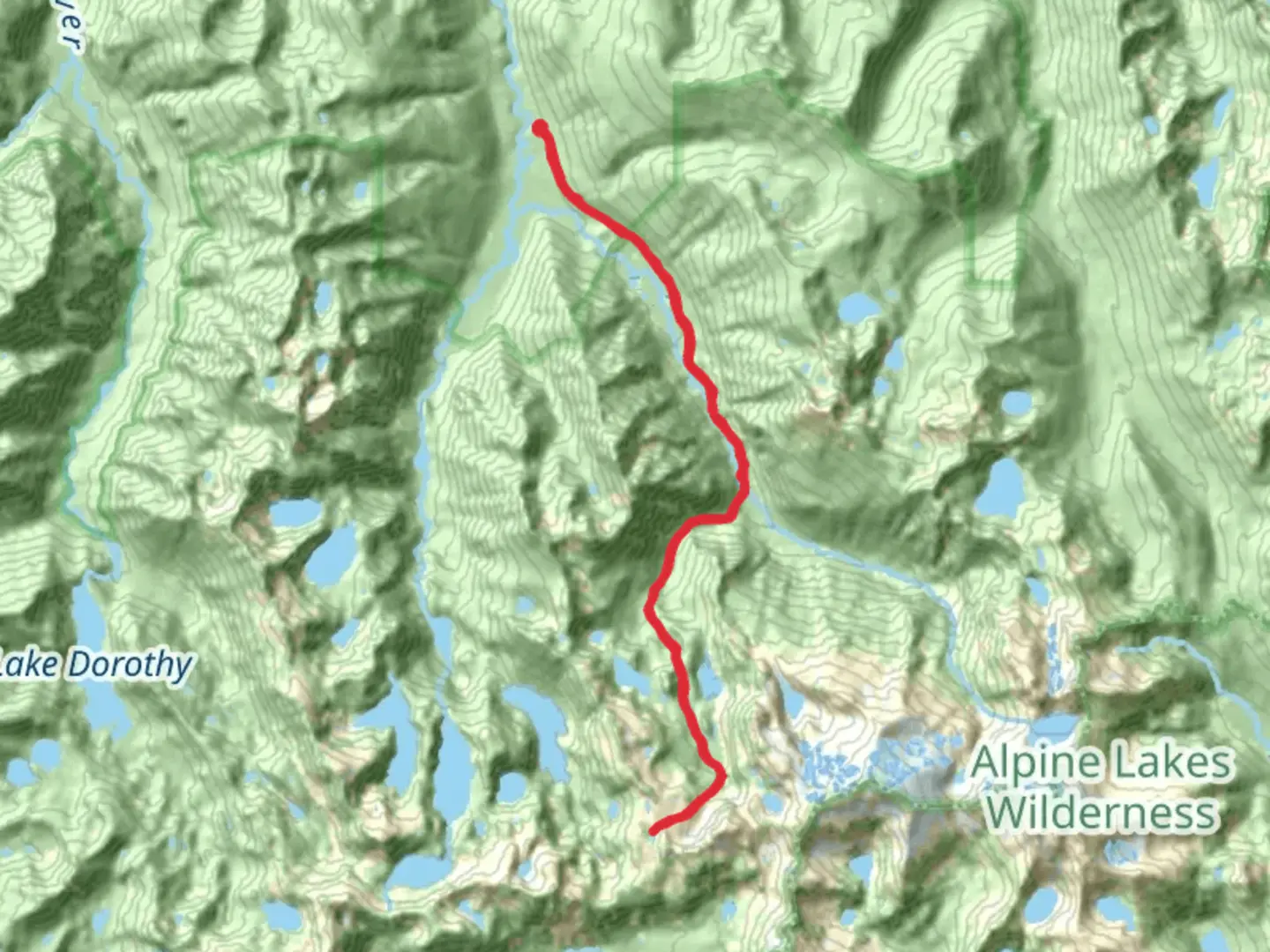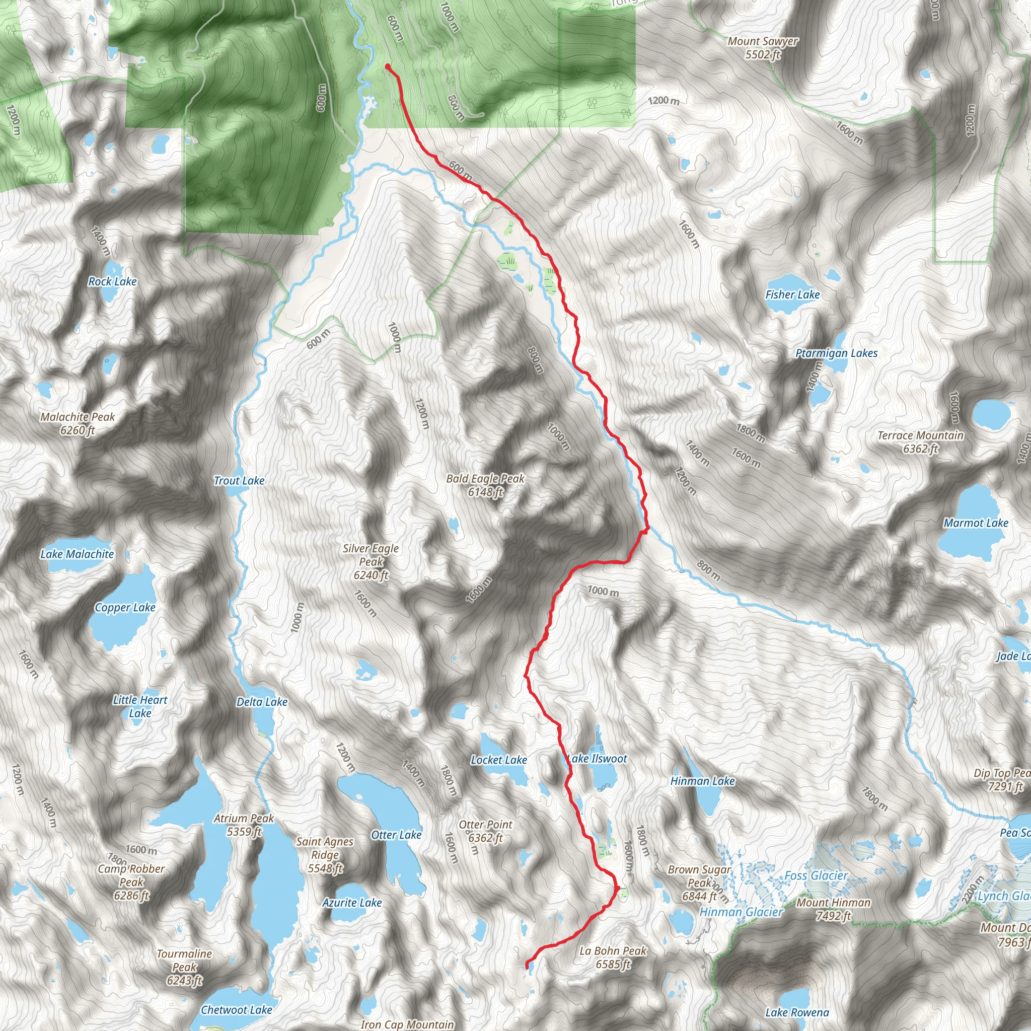
Necklace Valley, Jade Lake and Tank Lakes Boothpath Trail
Download
Preview
Add to list
More
31.5 km
~1 day 4 hrs
1931 m
Out and Back
“Embark on a rewarding 32km adventure through lush forests, alpine lakes, and stunning mountain vistas in King County.”
Starting your adventure near King County, Washington, the Necklace Valley, Jade Lake, and Tank Lakes Boothpath Trail offers a challenging yet rewarding experience. This out-and-back trail spans approximately 32 kilometers (20 miles) with an elevation gain of around 1900 meters (6234 feet), making it a medium difficulty hike suitable for those with a good level of fitness.
Getting There To reach the trailhead, you can drive or use public transport. If driving, head towards the Foss River Road (Forest Road 68) from Skykomish, Washington. The nearest significant landmark is the Skykomish Ranger Station. For those using public transport, take a bus to Skykomish and arrange for a taxi or rideshare to the trailhead, as public transport options directly to the trailhead are limited.
Trail Overview The trail begins with a gentle ascent through lush, old-growth forests. As you progress, the path becomes steeper, leading you through a series of switchbacks. The first significant landmark is the crossing of the East Fork Foss River, approximately 4 kilometers (2.5 miles) in, where a sturdy bridge provides a safe passage.
Necklace Valley Around the 8-kilometer (5-mile) mark, you will enter Necklace Valley, a stunning area dotted with alpine lakes and meadows. This section is relatively flat and offers a respite from the earlier climb. Keep an eye out for wildlife such as deer and marmots, and enjoy the vibrant wildflowers in the summer months.
Jade Lake Continuing on, the trail ascends again towards Jade Lake, located about 16 kilometers (10 miles) from the trailhead. This pristine lake, nestled among rugged peaks, is a perfect spot for a break. The water is crystal clear, reflecting the surrounding mountains, and offers a serene environment for rest and reflection.
Tank Lakes The final push to Tank Lakes involves a steep climb, gaining significant elevation over a short distance. This section can be challenging, especially in wet conditions, so ensure you have proper footwear and trekking poles. Upon reaching Tank Lakes, approximately 20 kilometers (12.5 miles) from the start, you are rewarded with panoramic views of the Alpine Lakes Wilderness. The lakes themselves are a series of small, interconnected bodies of water, surrounded by granite outcrops and alpine meadows.
Historical Significance The region has a rich history, with the trail originally used by Native American tribes for hunting and gathering. In the early 20th century, the area saw an influx of miners searching for precious minerals, remnants of which can still be seen along the trail.
Navigation and Safety Given the trail's complexity, it's advisable to use a reliable navigation tool like HiiKER to stay on track. Weather conditions can change rapidly, so pack accordingly and be prepared for sudden temperature drops, especially at higher elevations.
Wildlife and Flora The trail is home to diverse wildlife, including black bears, so carrying bear spray and knowing how to use it is essential. The flora varies from dense forests of Douglas fir and western hemlock at lower elevations to alpine meadows filled with wildflowers like lupine and Indian paintbrush higher up.
Final Tips Ensure you have enough water and food for the journey, as there are limited sources along the trail. A water filter can be useful for refilling at streams and lakes. Always practice Leave No Trace principles to preserve the natural beauty of the area for future hikers.
What to expect?
Activity types
Comments and Reviews
User comments, reviews and discussions about the Necklace Valley, Jade Lake and Tank Lakes Boothpath Trail, Washington.
4.38
average rating out of 5
13 rating(s)
