Download
Preview
Add to list
More
17.8 km
~1 day 0 hrs
904 m
Out and Back
“Explore the lush forests, historic trails, and stunning vistas of Naches Pass on this invigorating hike.”
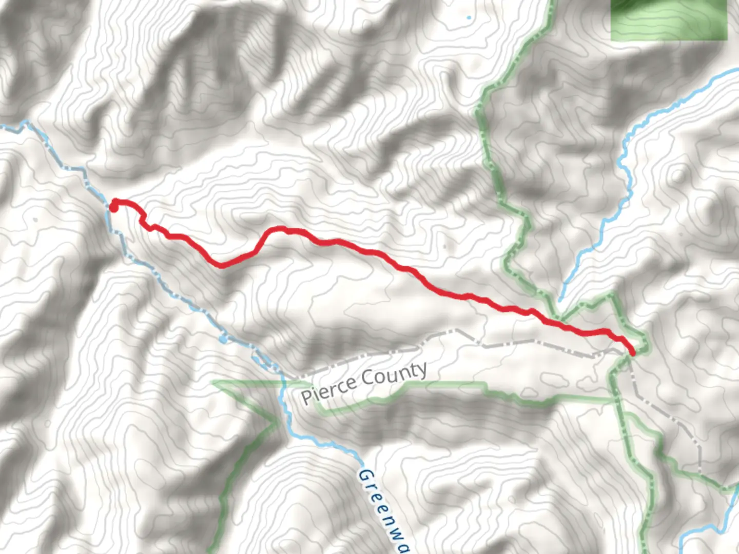
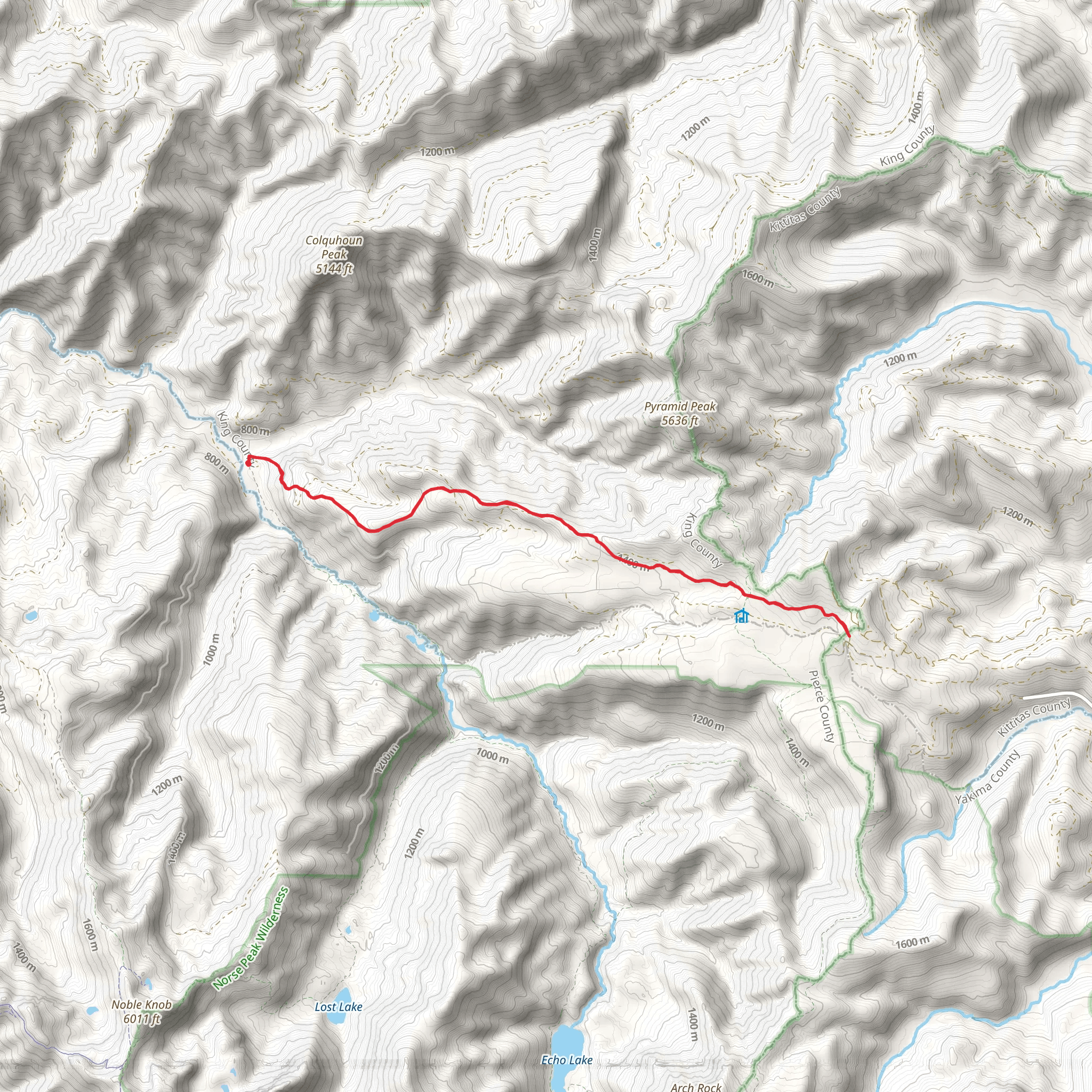
Starting near King County, Washington, the Naches Pass via Naches Trail offers an invigorating out-and-back hike spanning approximately 18 kilometers (11 miles) with an elevation gain of around 900 meters (2,950 feet). This trail is rated as medium difficulty, making it suitable for moderately experienced hikers.### Getting There To reach the trailhead, you can drive or use public transportation. If driving, head towards the Greenwater area, and the nearest significant landmark is the Greenwater General Store. From there, follow the signs to the trailhead. For those using public transport, you can take a bus to Enumclaw and then arrange for a taxi or rideshare to the trailhead.### Trail Overview The trail begins with a gentle ascent through dense forest, where you'll be surrounded by towering Douglas firs and Western hemlocks. The first 3 kilometers (1.9 miles) are relatively easy, with an elevation gain of about 150 meters (492 feet), making it a good warm-up for the more challenging sections ahead.### Historical Significance Naches Pass holds historical significance as it was part of the Oregon Trail used by settlers in the mid-1800s. As you hike, you'll come across interpretive signs that provide insights into the hardships and triumphs of those early pioneers. These markers are located approximately 5 kilometers (3.1 miles) into the trail.### Mid-Trail Highlights Around the 6-kilometer (3.7-mile) mark, you'll reach a clearing that offers stunning views of Mount Rainier. This is a great spot to take a break and soak in the panoramic vistas. The elevation gain to this point is about 400 meters (1,312 feet).Continuing on, the trail becomes steeper and more rugged. You'll navigate through rocky terrain and cross several small streams. At around 9 kilometers (5.6 miles), you'll reach the highest point of the trail, with an elevation gain of approximately 900 meters (2,950 feet). Here, the landscape opens up to alpine meadows filled with wildflowers during the summer months.### Wildlife and Nature The Naches Trail is home to a variety of wildlife, including black bears, deer, and numerous bird species. Keep an eye out for the distinctive call of the Steller's jay and the occasional sighting of a bald eagle soaring overhead. The trail also features diverse flora, from lush ferns in the lower sections to hardy alpine plants at higher elevations.### Navigation and Safety Given the trail's moderate difficulty, it's advisable to use a reliable navigation tool like HiiKER to stay on track. The trail is well-marked, but weather conditions can change rapidly, especially at higher elevations. Always carry a map, compass, and sufficient water and snacks.### Return Journey The return journey follows the same path, offering a different perspective on the landscape as you descend. The downhill trek can be tough on the knees, so trekking poles are recommended for added stability.By the time you complete the hike, you'll have traversed a total of 18 kilometers (11 miles) and experienced a significant elevation change, making this trail a rewarding adventure for those looking to explore the natural beauty and historical richness of the Pacific Northwest.
What to expect?
Activity types
Comments and Reviews
User comments, reviews and discussions about the Naches Pass via Naches Trail, Washington.
4.88
average rating out of 5
8 rating(s)
