Download
Preview
Add to list
More
4.4 km
~56 min
37 m
Out and Back
“Explore Seattle's waterfront on this accessible, scenic 4 km trail with art, wildlife, and breathtaking views.”
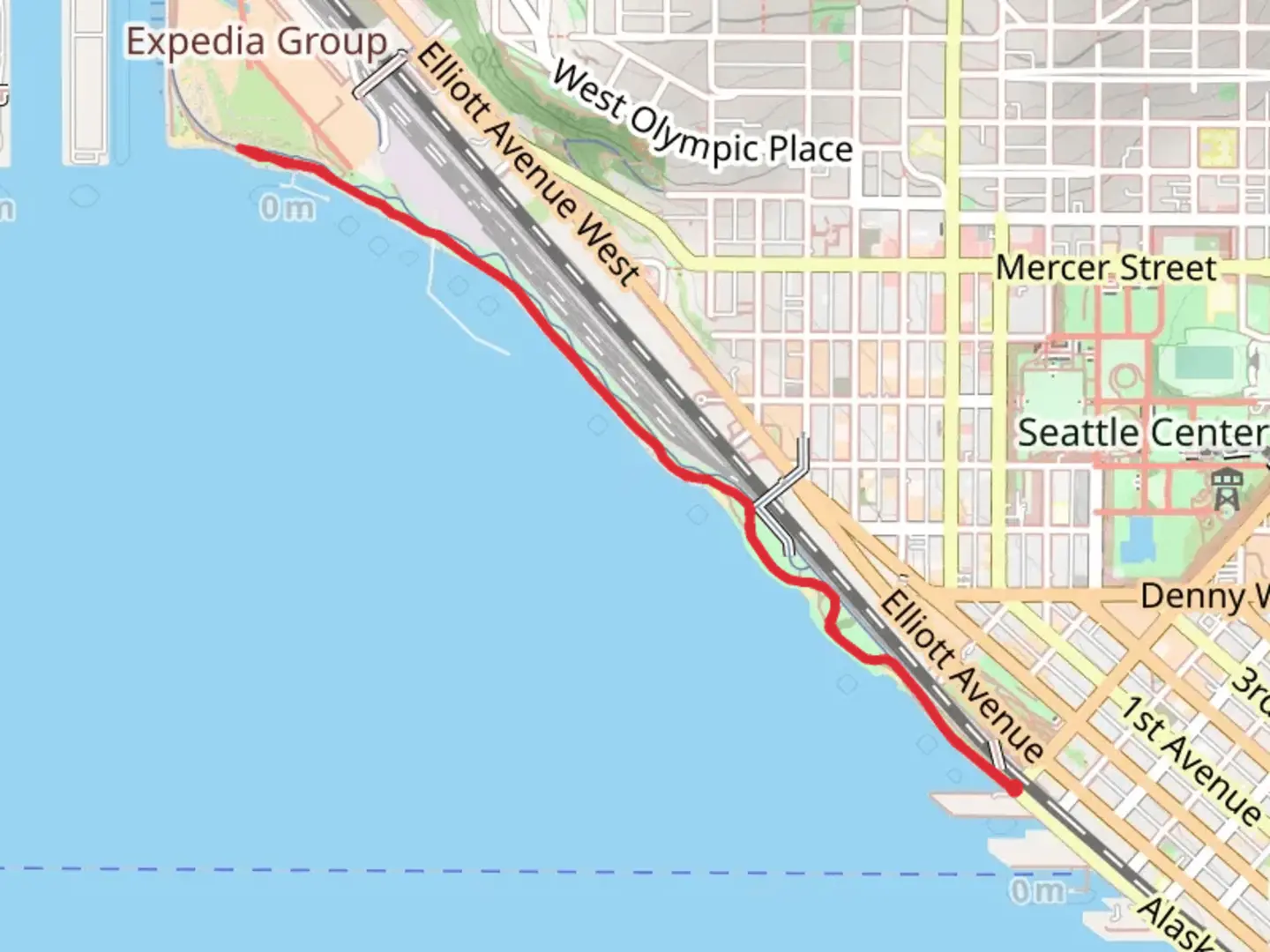
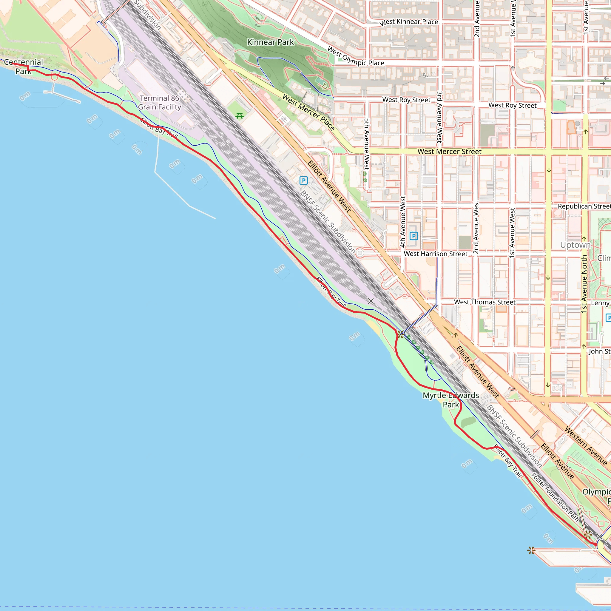
Starting near King County, Washington, this 4 km (approximately 2.5 miles) out-and-back trail offers a delightful urban hiking experience with zero elevation gain, making it accessible for hikers of various skill levels. The trailhead is conveniently located near the Seattle waterfront, easily accessible by public transport or car. If you're driving, you can park near the Seattle Art Museum's Olympic Sculpture Park, which is a short walk from the trailhead.
Getting There
For those using public transport, several bus routes service the area around the Seattle Art Museum and Olympic Sculpture Park. The nearest major bus stop is at 1st Ave and Broad St, just a few minutes' walk from the trailhead. If you're driving, parking is available at the Olympic Sculpture Park or nearby street parking.
Trail Overview
The trail begins at the southern end of Myrtle Edwards Park, near the intersection of Alaskan Way and Broad Street. From here, you'll head north along the waterfront, enjoying stunning views of Elliott Bay and the Olympic Mountains. The trail is well-paved and wide, making it suitable for walking, jogging, and even cycling.
Landmarks and Points of Interest
- Olympic Sculpture Park: As you start your hike, you'll pass through this 9-acre park filled with contemporary sculptures. It's a great place to take a break and enjoy some art before continuing your hike. - Elliott Bay: The trail runs parallel to the bay, offering panoramic views of the water and the occasional sighting of marine wildlife such as seals and seabirds. - Pier 70: About 1 km (0.6 miles) into your hike, you'll pass Pier 70, a historic pier that now houses restaurants and shops. It's a great spot to grab a quick snack or drink. - Smith Cove: As you approach the northern end of the trail, you'll reach Smith Cove, a small inlet that offers a peaceful spot to relax and enjoy the scenery.
Nature and Wildlife
Despite its urban setting, the trail offers a surprising amount of natural beauty. The waterfront is home to various bird species, including gulls, herons, and occasionally bald eagles. The park's green spaces are filled with native plants and trees, providing a refreshing contrast to the city's hustle and bustle.
Historical Significance
The area around Myrtle Edwards Park has a rich history. Originally an industrial zone, the waterfront has been transformed into a recreational space over the past few decades. The park itself is named after Myrtle Edwards, a former Seattle City Council member who was instrumental in advocating for public green spaces.
Navigation
For navigation, it's recommended to use the HiiKER app, which provides detailed maps and real-time updates to help you stay on track. The trail is well-marked, but having a reliable navigation tool can enhance your hiking experience.
Final Stretch
The trail ends at Centennial Park, where you can take a moment to relax and enjoy the views before heading back the way you came. The return journey offers a different perspective of the same beautiful scenery, making the out-and-back format a rewarding experience.
Whether you're a local looking for a quick escape or a visitor wanting to explore Seattle's waterfront, this trail offers a perfect blend of urban and natural beauty.
What to expect?
Activity types
Comments and Reviews
User comments, reviews and discussions about the Myrtle Edwards Park and Centennial Park, Washington.
4.67
average rating out of 5
9 rating(s)
