Download
Preview
Add to list
More
4.5 km
~57 min
34 m
Point-to-Point
“"The I-205 Multi Use Path offers a flat, 4-kilometer journey blending urban and natural landscapes."”
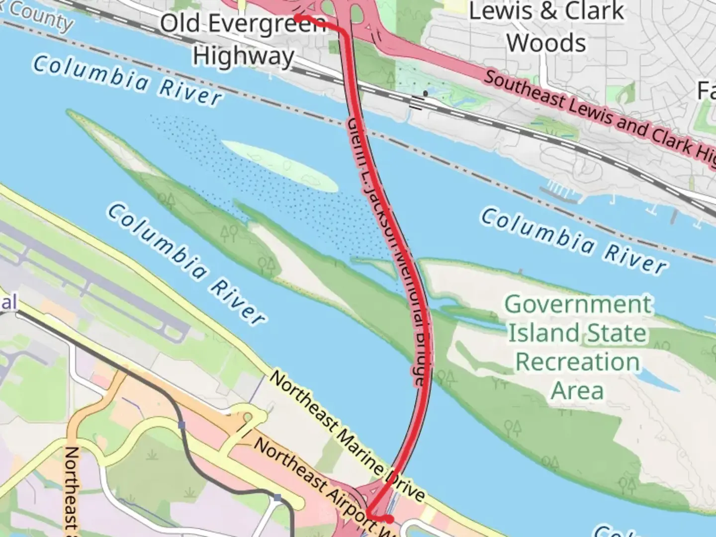
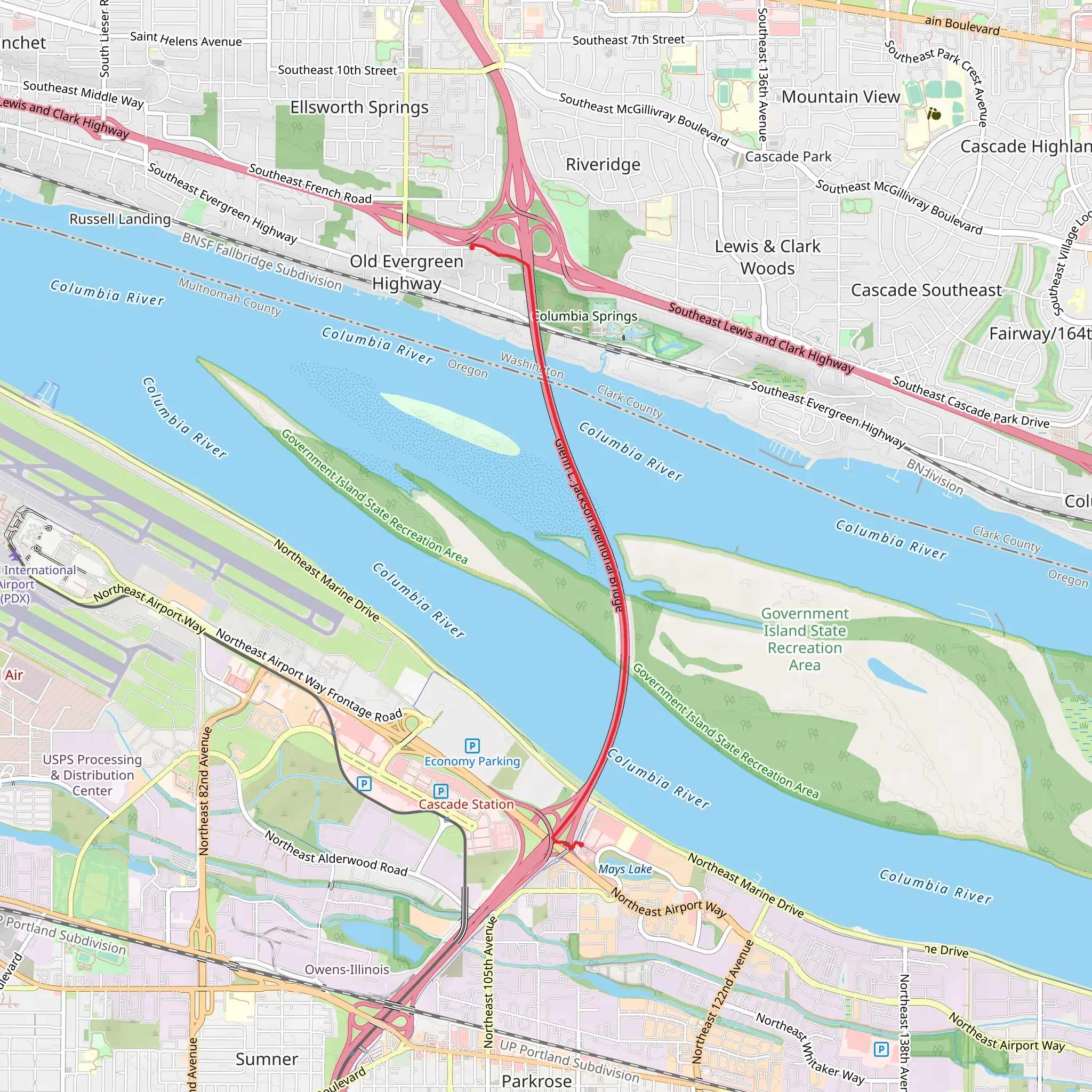
The I-205 Multi Use Path stretches approximately 4 kilometers (around 2.5 miles) and offers a relatively flat journey with an elevation gain of about 0 meters (0 feet). This point-to-point trail begins near Clark County, Washington, and is estimated to have a medium difficulty rating.### Getting There To reach the trailhead, you can drive or use public transportation. If driving, you can park near the intersection of NE 18th Street and NE 112th Avenue in Vancouver, Washington. For those using public transport, the C-TRAN bus service has routes that stop near this intersection, making it convenient for hikers to access the trailhead.### Trail Overview The I-205 Multi Use Path is a versatile trail that caters to hikers, cyclists, and even joggers. The path runs parallel to Interstate 205, providing a unique blend of urban and natural landscapes. Despite its proximity to the highway, the trail is well-maintained and offers a peaceful escape with plenty of greenery.### Landmarks and Points of Interest As you embark on this trail, you'll notice several significant landmarks and points of interest:- Burnt Bridge Creek: Approximately 1 kilometer (0.6 miles) into the hike, you'll cross Burnt Bridge Creek. This creek is a serene spot where you can take a moment to enjoy the sound of flowing water and perhaps spot some local wildlife, such as ducks and herons.- Pacific Community Park: Around the 2-kilometer (1.2-mile) mark, you'll pass by Pacific Community Park. This park is a great place to take a break, with amenities like picnic tables, restrooms, and a playground for families.### Nature and Wildlife The trail is lined with a variety of trees and shrubs, providing a habitat for local wildlife. Keep an eye out for birds such as robins, sparrows, and occasionally, hawks. The flora along the path includes native species like Douglas fir, Oregon grape, and sword fern, offering a lush and vibrant environment.### Historical Significance The region around Clark County has a rich history, dating back to the early 19th century when it was part of the Oregon Trail. The area was a significant route for pioneers heading west, and remnants of this historical journey can still be felt today. The trail itself, while modern, runs through lands that have seen centuries of change and development.### Navigation For those looking to navigate the trail with precision, the HiiKER app is an excellent tool. It provides detailed maps and real-time updates, ensuring you stay on the right path and can explore nearby points of interest with ease.### Final Stretch As you approach the end of the trail, you'll find yourself near the intersection of SE 92nd Avenue and SE Sunnyside Road in Portland, Oregon. This area is well-connected with public transport options, including TriMet buses, making it easy to return to your starting point or continue exploring the region.This trail offers a unique blend of urban and natural experiences, making it a rewarding hike for those looking to explore the area around Clark County and beyond.
What to expect?
Activity types
Comments and Reviews
User comments, reviews and discussions about the I-205 Multi Use Path, Washington.
4.45
average rating out of 5
11 rating(s)
