Download
Preview
Add to list
More
23.9 km
~1 day 3 hrs
1991 m
Out and Back
“Embark on a scenic, moderately challenging hike through Olympic National Forest's lush landscapes and rich history.”
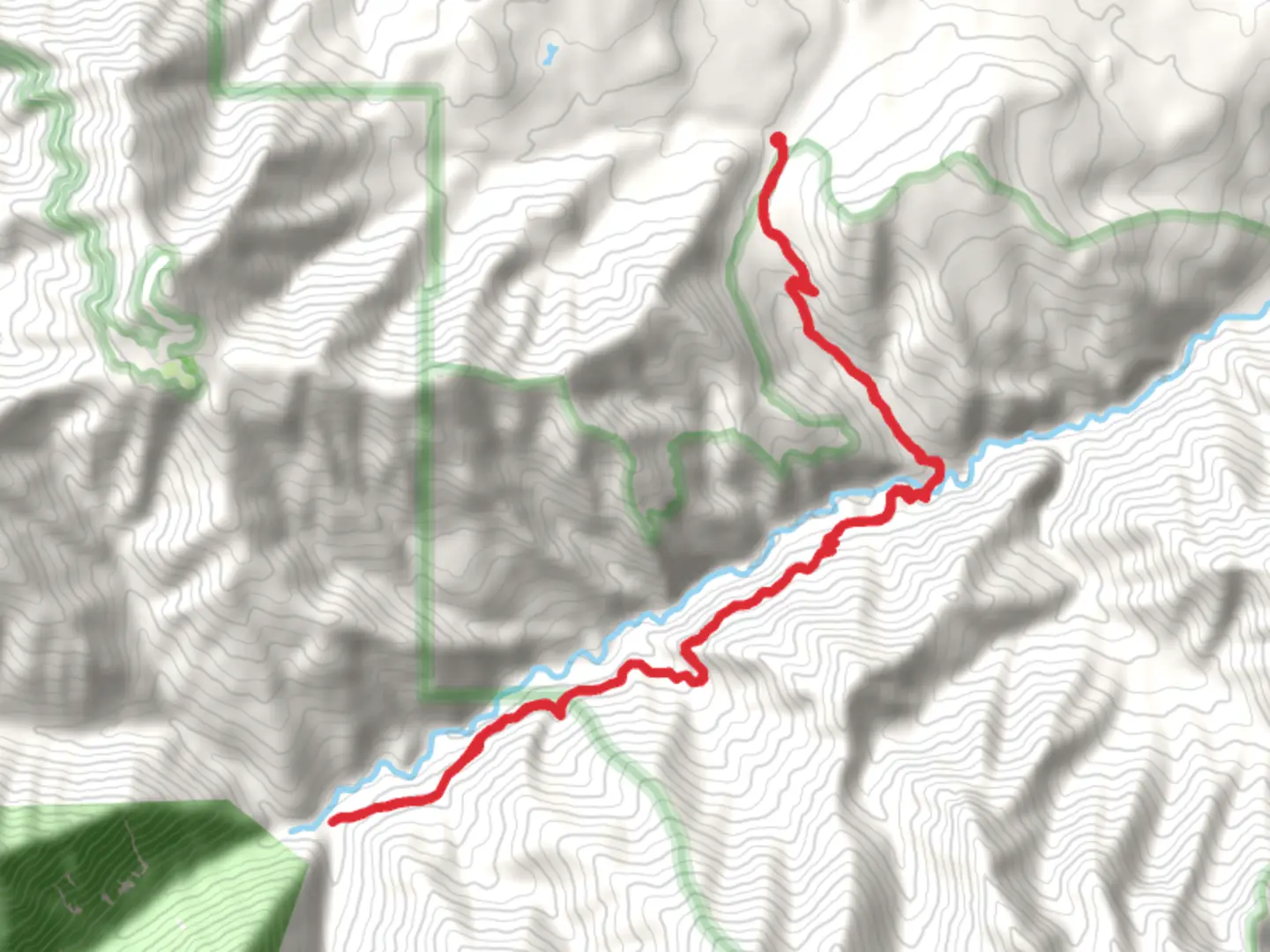
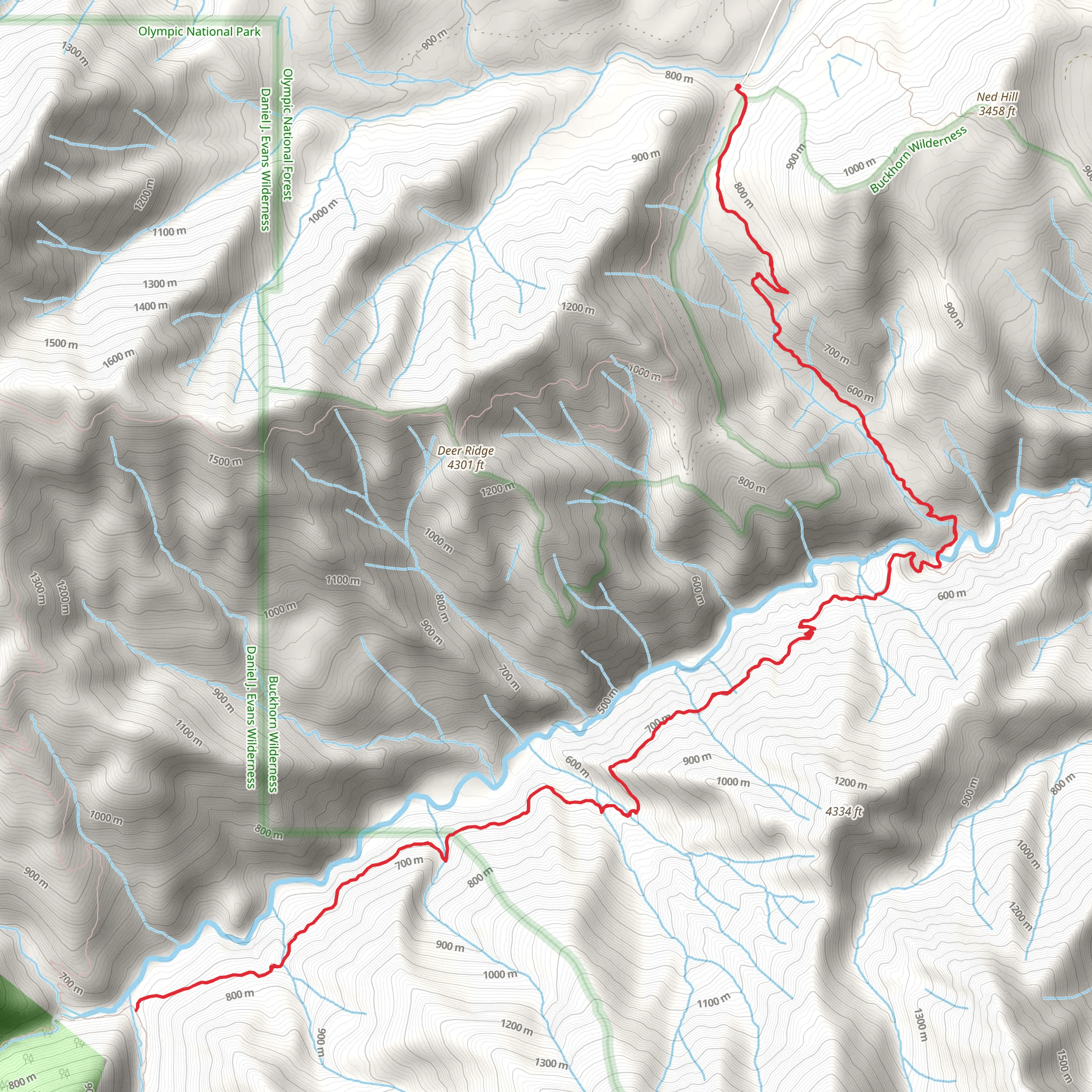
Starting near Clallam County, Washington, the Gray Wolf River and Slab Camp Trail offers a captivating journey through the Olympic National Forest. This out-and-back trail spans approximately 24 kilometers (15 miles) with an elevation gain of around 1900 meters (6200 feet), making it a moderately challenging hike suitable for those with a good level of fitness.### Getting There To reach the trailhead, you can drive or use public transportation. If driving, head towards the Olympic National Forest and look for the Slab Camp Trailhead near the Dungeness Forks Campground. For those relying on public transport, the nearest significant landmark is the town of Sequim, Washington. From Sequim, you can take a taxi or rideshare service to the trailhead.### Trail Overview The trail begins with a gentle ascent through dense forest, offering a serene start to your hike. As you progress, the path becomes steeper, leading you deeper into the wilderness. The first significant landmark is the crossing of the Gray Wolf River, approximately 4 kilometers (2.5 miles) from the trailhead. Here, you'll find a sturdy bridge that provides a perfect spot for a short break and some scenic photos.### Flora and Fauna The trail is rich in biodiversity. You'll encounter towering Douglas firs, western hemlocks, and a variety of ferns and mosses that create a lush, green canopy. Keep an eye out for wildlife such as black-tailed deer, black bears, and a variety of bird species including the Pacific wren and the northern spotted owl. ### Historical Significance The region has a rich history, with the Gray Wolf River area being traditionally used by the Klallam and other Native American tribes for hunting and gathering. The trail itself was originally used by early settlers and loggers, adding a layer of historical intrigue to your hike.### Mid-Trail Highlights Around the 8-kilometer (5-mile) mark, you'll reach Slab Camp, an open area that offers stunning views of the surrounding peaks and valleys. This is a great spot for a longer rest or even an overnight camp if you're planning a multi-day hike. The elevation gain to this point is about 900 meters (2950 feet), so be prepared for a strenuous climb.### Navigation and Safety Given the trail's moderate difficulty and remote location, it's crucial to be well-prepared. Download the trail map from HiiKER for offline use, as cell service can be unreliable. Ensure you have adequate water, snacks, and appropriate clothing for changing weather conditions. ### Final Stretch The final stretch of the trail takes you deeper into the forest, with the path becoming narrower and more rugged. The endpoint offers a secluded spot by the river, perfect for a moment of reflection before heading back. The total elevation gain by the end of the trail is around 1900 meters (6200 feet), so pace yourself and take breaks as needed.### Return Journey The return journey follows the same path, allowing you to revisit the beautiful landscapes and perhaps notice details you missed on the way up. Make sure to leave no trace and pack out all your trash to preserve the natural beauty of the area for future hikers.This trail offers a blend of natural beauty, historical significance, and physical challenge, making it a rewarding experience for those who undertake it.
What to expect?
Activity types
Comments and Reviews
User comments, reviews and discussions about the Gray Wolf River and Slab Camp Trail, Washington.
4.33
average rating out of 5
12 rating(s)
