Download
Preview
Add to list
More
10.5 km
~2 hrs 42 min
365 m
Out and Back
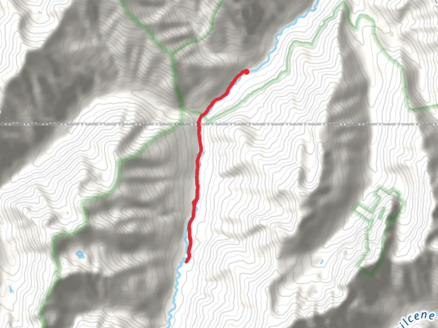
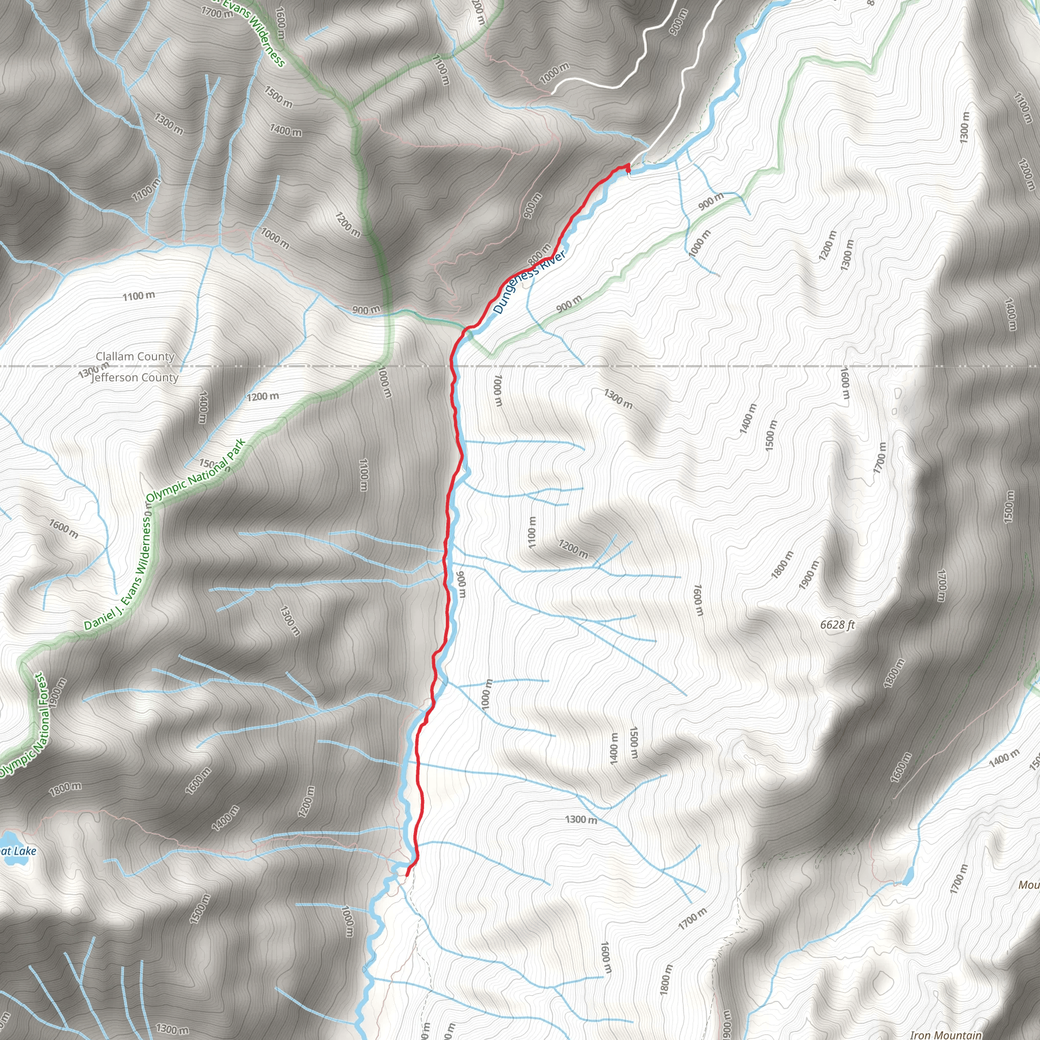
“Embark on the Camp Handy via Dungeness Trail for scenic forests, historical landmarks, and alpine meadows.”
Starting your adventure near Clallam County, Washington, the trailhead for this hike is conveniently located close to the Dungeness Forks Campground. If you're driving, you can park at the trailhead parking lot, which is well-marked and easy to find. For those relying on public transport, the nearest major town is Sequim, from where you can take a taxi or rideshare service to the trailhead.
Trail Overview
The Camp Handy via Dungeness Trail is an out-and-back trail stretching approximately 11 kilometers (around 6.8 miles) with an elevation gain of about 300 meters (984 feet). This moderate trail offers a mix of lush forest scenery, river views, and alpine meadows, making it a rewarding hike for those looking to experience the diverse landscapes of the Olympic Peninsula.
Key Landmarks and Points of Interest
#### Dungeness River
Early in your hike, you'll follow the Dungeness River, a pristine waterway that offers several picturesque spots perfect for a quick rest or photo opportunity. The sound of the flowing river adds a serene backdrop to your journey.
#### Boulder Shelter
At around 3 kilometers (1.9 miles) into the hike, you'll come across Boulder Shelter, a historic structure that provides a glimpse into the area's past. This shelter was originally built by the Civilian Conservation Corps in the 1930s and serves as a reminder of the region's rich history.
#### Camp Handy
Your destination, Camp Handy, is located approximately 5.5 kilometers (3.4 miles) from the trailhead. This open meadow area is surrounded by towering trees and offers a peaceful setting for a picnic or a rest before heading back. The camp is named after a local homesteader and is a popular spot for overnight camping.
Flora and Fauna
The trail is home to a variety of plant and animal life. Keep an eye out for Douglas fir, western red cedar, and hemlock trees. In the spring and summer, the meadows near Camp Handy are often filled with wildflowers, including lupine and Indian paintbrush. Wildlife sightings may include black-tailed deer, various bird species, and occasionally black bears, so be sure to practice safe wildlife viewing habits.
Navigation and Safety
For navigation, it's highly recommended to use the HiiKER app, which provides detailed maps and real-time updates. The trail is well-marked, but having a reliable navigation tool can enhance your hiking experience and ensure you stay on track.
Getting There
To reach the trailhead by car, head towards the Dungeness Forks Campground near Clallam County. If you're coming from Sequim, take the Palo Alto Road and follow the signs to the campground. The trailhead is located just past the campground entrance. For those using public transport, Sequim is the nearest town with bus services, and from there, a taxi or rideshare can take you directly to the trailhead.
Historical Significance
The area around the Dungeness Trail has a rich history, with evidence of Native American use long before European settlers arrived. The trail itself has been used for decades, initially by homesteaders and later by recreational hikers. The Boulder Shelter, built by the Civilian Conservation Corps, is a testament to the New Deal era's impact on the region, providing jobs and infrastructure during the Great Depression.
This trail offers a blend of natural beauty, historical landmarks, and moderate physical challenge, making it a perfect choice for a day hike or an overnight adventure.
What to expect?
Activity types
Comments and Reviews
User comments, reviews and discussions about the Camp Handy via Dungeness Trail, Washington.
4.36
average rating out of 5
11 rating(s)
