Download
Preview
Add to list
More
11.2 km
~2 hrs 27 min
129 m
Loop
“"Explore the See-n-Ski Loop Trail's 11 km of diverse landscapes, scenic views, and historical landmarks."”
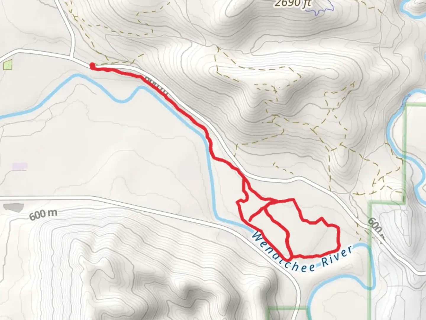
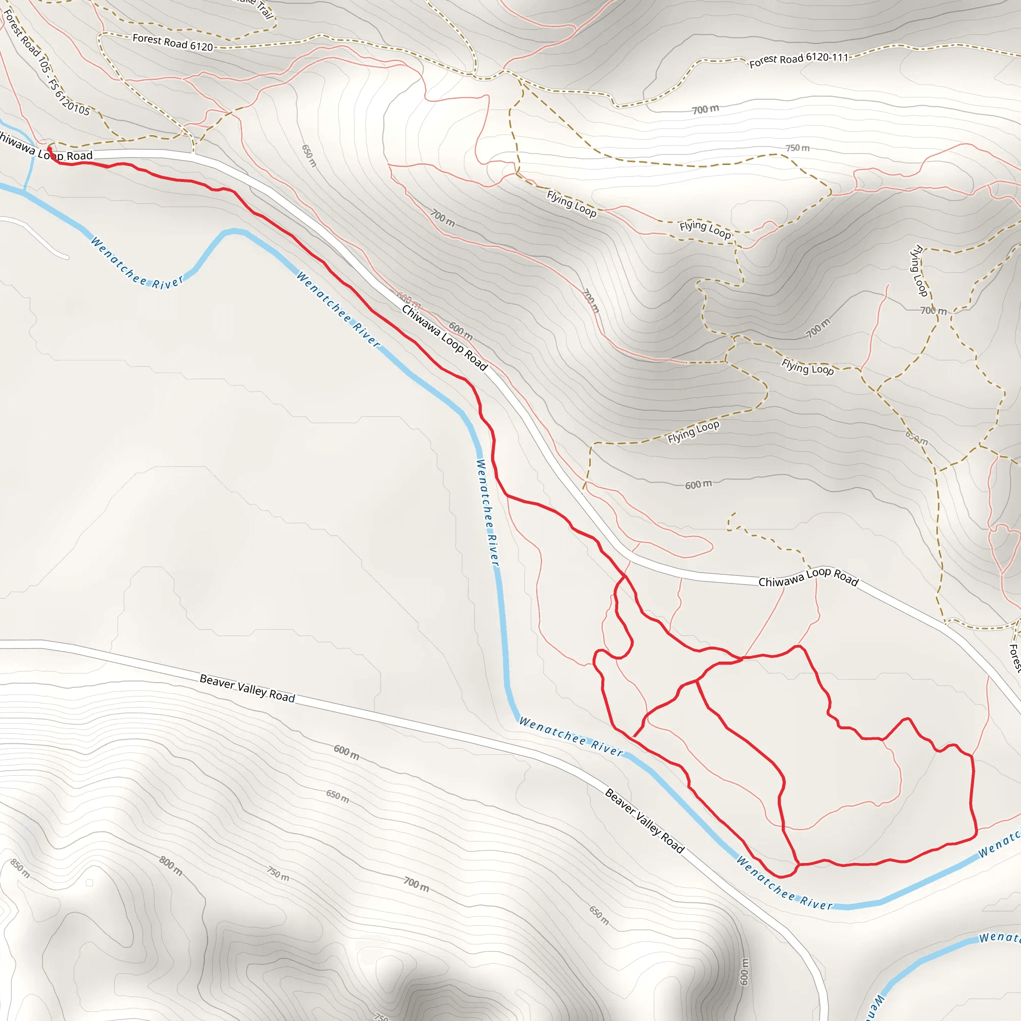
Starting near Chelan County, Washington, the See-n-Ski Loop Trail offers a delightful 11 km (approximately 6.8 miles) journey through diverse landscapes with an elevation gain of around 100 meters (328 feet). This loop trail is rated as medium difficulty, making it accessible for most hikers with a moderate level of fitness.
Getting There To reach the trailhead, you can drive or use public transportation. If driving, head towards the nearest significant landmark, which is the town of Leavenworth, WA. From Leavenworth, take US-2 W and then turn onto Icicle Road. Follow this road until you reach the trailhead parking area. For those using public transport, you can take a bus to Leavenworth and then arrange for a local taxi or rideshare service to the trailhead.
Trail Navigation For navigation, it is highly recommended to use the HiiKER app, which provides detailed maps and real-time updates. This will help you stay on track and ensure you don't miss any key points of interest along the way.
Trail Highlights As you embark on the See-n-Ski Loop Trail, you'll first encounter a gentle ascent through a mixed forest of pine and fir trees. The initial 2 km (1.2 miles) offer a serene environment with the sounds of birds and rustling leaves. Keep an eye out for deer and other small wildlife that are commonly seen in this area.
Midway Point and Scenic Views Around the 5 km (3.1 miles) mark, you'll reach the highest point of the trail, offering panoramic views of the surrounding mountains and valleys. This is an excellent spot to take a break and enjoy the scenery. The elevation gain here is about 50 meters (164 feet) from the trailhead, making it a relatively easy climb.
Historical Significance The region around Chelan County has a rich history, with Native American tribes such as the Wenatchi and Yakama having inhabited the area for centuries. As you hike, you'll notice several interpretive signs that provide insights into the historical and cultural significance of the land. These signs are located at various points along the trail, particularly near the 7 km (4.3 miles) mark.
Flora and Fauna The latter part of the trail takes you through a more open landscape, dotted with wildflowers in the spring and summer months. This section is relatively flat, making for an easy descent back to the trailhead. Be on the lookout for eagles and hawks soaring above, as well as smaller birds like chickadees and nuthatches.
Final Stretch As you approach the final 2 km (1.2 miles) of the loop, the trail meanders alongside a small creek, providing a peaceful and picturesque end to your hike. The sound of flowing water and the sight of lush greenery make this a particularly enjoyable segment.
Practical Tips - **Water and Snacks:** Make sure to bring enough water and snacks, as there are no facilities along the trail. - **Footwear:** Wear sturdy hiking boots, as some sections can be rocky and uneven. - **Weather:** Check the weather forecast before heading out, as conditions can change rapidly in this region.
By following these guidelines and using the HiiKER app for navigation, you'll be well-prepared to enjoy the See-n-Ski Loop Trail in all its natural beauty and historical richness.
What to expect?
Activity types
Comments and Reviews
User comments, reviews and discussions about the See-n-Ski Loop Trail, Washington.
4.5
average rating out of 5
6 rating(s)
