Download
Preview
Add to list
More
12.8 km
~3 hrs 47 min
743 m
Loop
“Experience diverse landscapes and rich history on the captivating 13 km Nahahum and Lower Loop Trail.”
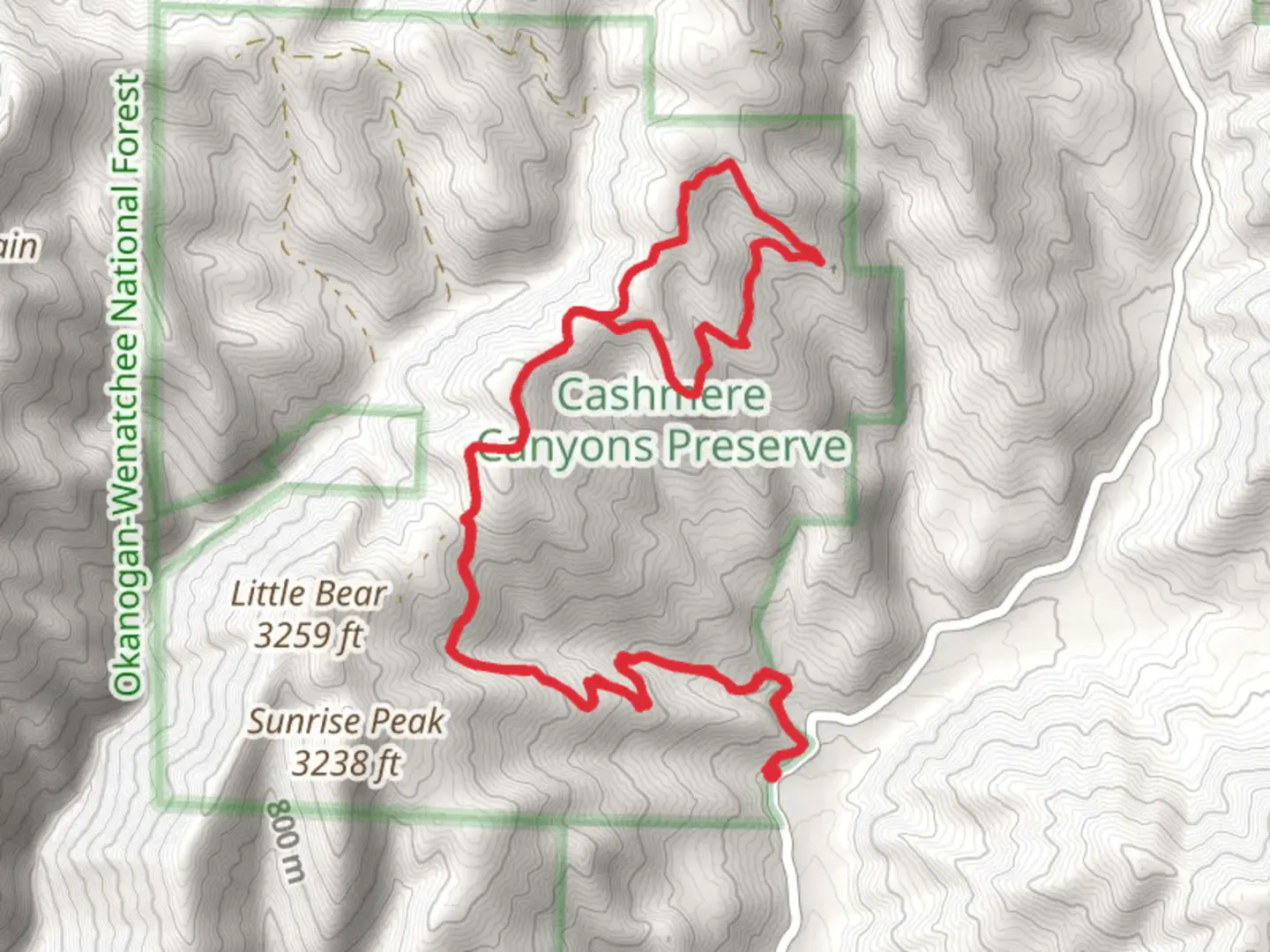
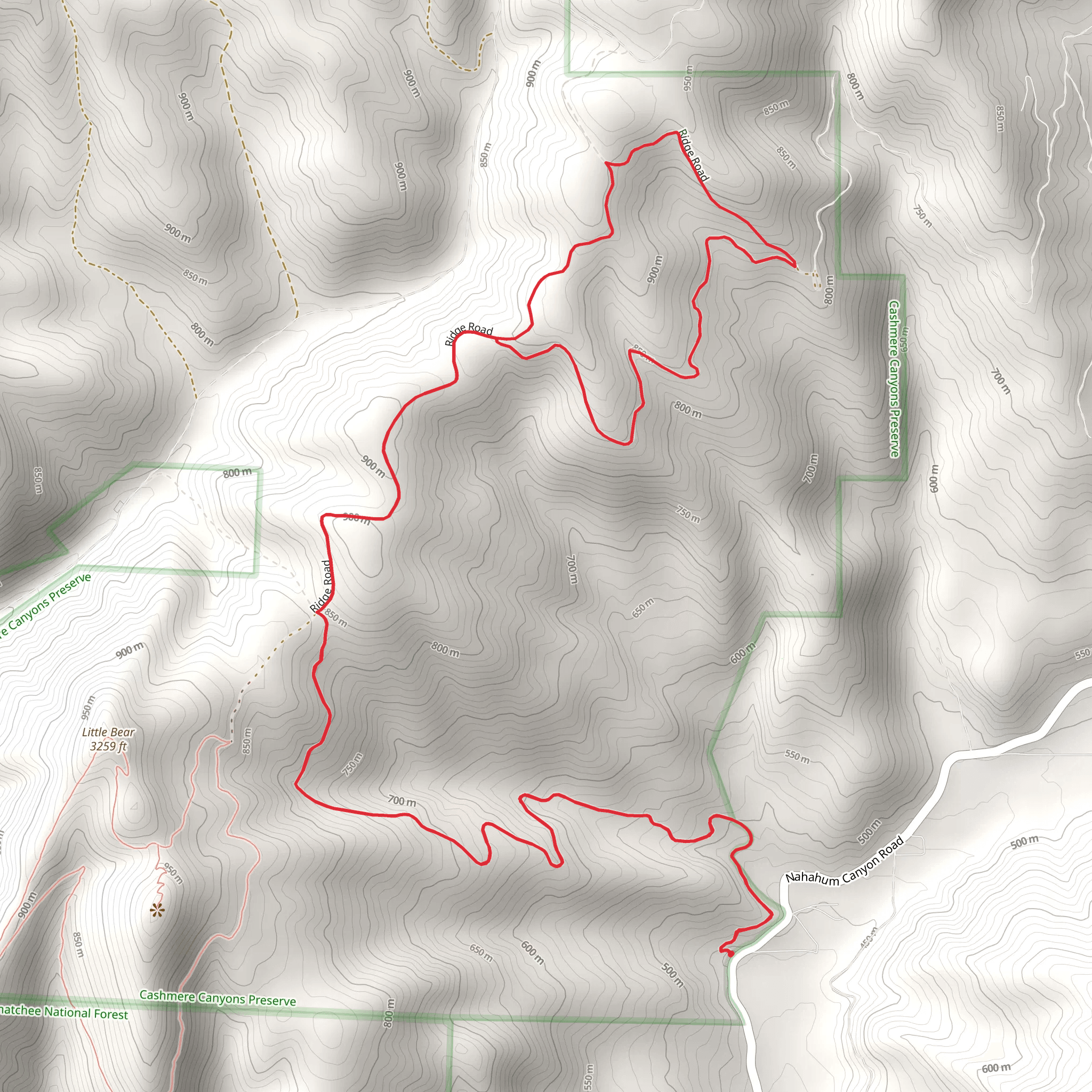
Starting near Chelan County, Washington, the Nahahum Trail and Lower Loop Trail is a captivating 13 km (8 miles) loop with an elevation gain of approximately 700 meters (2,300 feet). This trail is rated as medium difficulty, making it suitable for moderately experienced hikers.### Getting There To reach the trailhead, you can drive or use public transportation. If driving, head towards Cashmere, WA, and follow Nahahum Canyon Road until you reach the trailhead parking area. For those using public transport, the nearest significant landmark is Cashmere, WA. From there, you may need to arrange a taxi or rideshare service to the trailhead.### Trail Overview The trail begins with a gradual ascent through a mixed forest of pine and fir trees. Early in the hike, you'll encounter a series of switchbacks that help manage the elevation gain. After about 2 km (1.2 miles), the trail levels out, offering a brief respite and a chance to enjoy the surrounding flora.### Significant Landmarks and Nature At approximately 4 km (2.5 miles) into the hike, you'll reach a scenic overlook that provides panoramic views of the Wenatchee River Valley. This is an excellent spot for a break and some photography. Continuing on, the trail meanders through meadows filled with wildflowers in the spring and early summer. Keep an eye out for local wildlife, including deer, various bird species, and occasionally, black bears.### Historical Significance The region has a rich history tied to the Native American tribes who originally inhabited the area. The Wenatchi people used these trails for hunting and gathering. As you hike, consider the historical significance of the land and its original stewards.### Navigation and Safety The trail is well-marked, but it's always wise to have a reliable navigation tool. HiiKER is an excellent app for this purpose, providing detailed maps and real-time location tracking. Make sure to carry enough water, especially during the summer months, as the trail can get quite hot and dry.### Final Stretch The last 3 km (1.8 miles) of the trail descend back towards the trailhead, offering a mix of shaded forest paths and open areas. This section can be a bit steep, so watch your footing, especially if the ground is wet or muddy.By the time you complete the loop, you'll have experienced a diverse range of landscapes and gained a deeper appreciation for the natural beauty and historical significance of the Chelan County area.
What to expect?
Activity types
Comments and Reviews
User comments, reviews and discussions about the Nahahum Trail and Lower Loop Trail, Washington.
4.4
average rating out of 5
5 rating(s)
