Download
Preview
Add to list
More
10.3 km
~3 hrs 7 min
642 m
Out and Back
“Explore the diverse beauty and history of Chelan County on the rewarding Mount McCausland via Smithbrook Trail.”
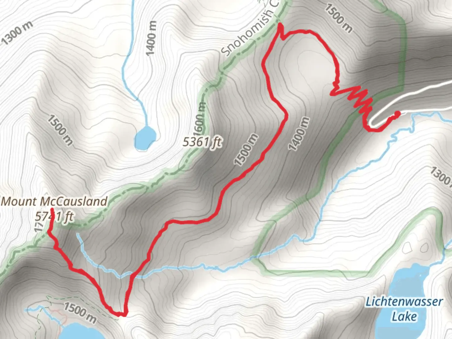
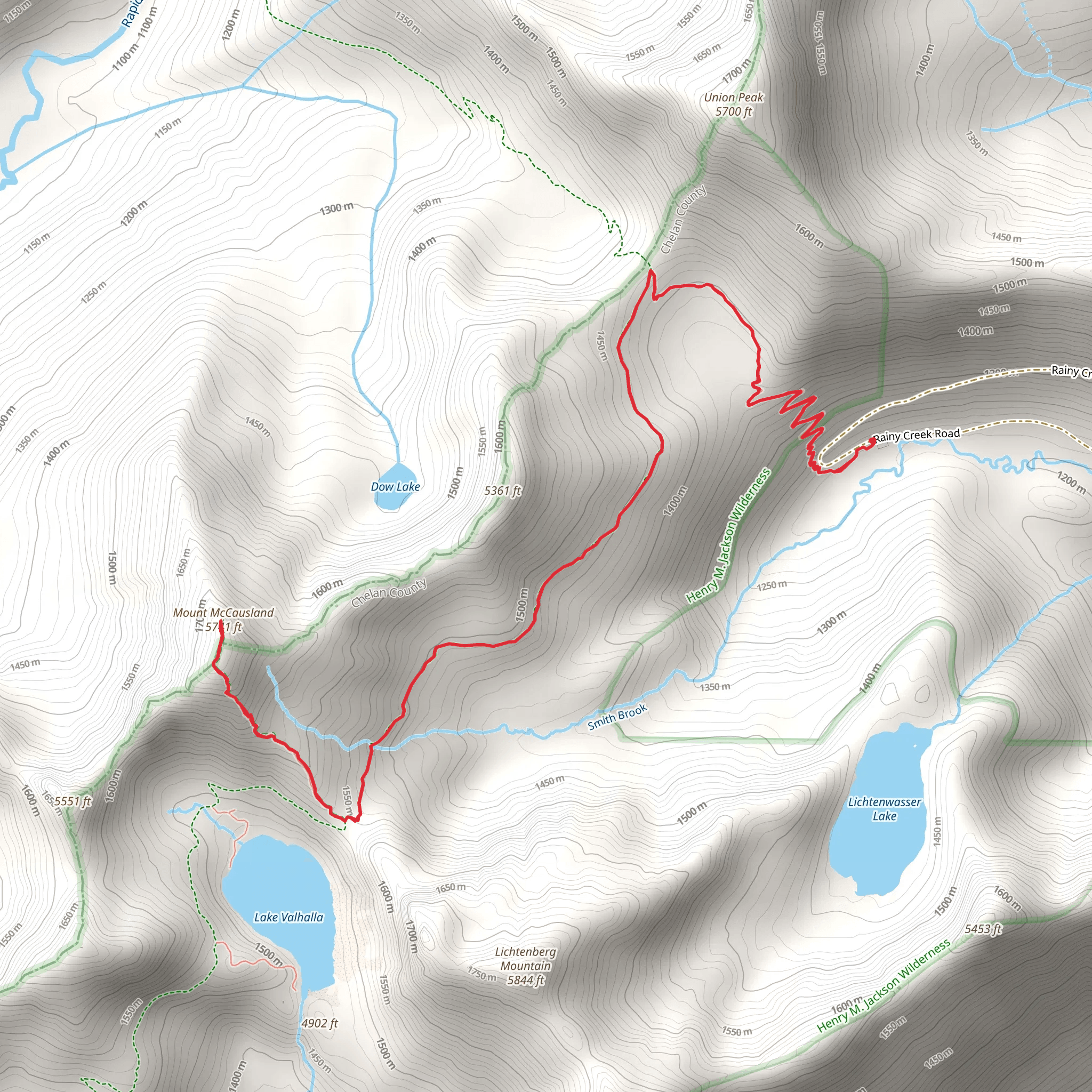
Starting your adventure near Chelan County, Washington, the Mount McCausland via Smithbrook Trail offers a rewarding out-and-back hike that spans approximately 10 kilometers (6.2 miles) with an elevation gain of around 600 meters (1,968 feet). This trail is rated as medium difficulty, making it accessible for moderately experienced hikers.
Getting There To reach the trailhead, you can drive or use public transport. If driving, head towards Stevens Pass on US Highway 2. The trailhead is located near the Smithbrook Road turnoff, which is about 4 miles east of Stevens Pass. For those using public transport, the nearest significant landmark is Stevens Pass, where you can catch a bus from Seattle. From Stevens Pass, you may need to arrange a taxi or rideshare to the trailhead.
Trail Navigation For navigation, it's highly recommended to use HiiKER, which provides detailed maps and real-time updates. The trail is well-marked, but having a reliable navigation tool can help you stay on track, especially in areas where the path may be less distinct.
Trail Description The hike begins at the Smithbrook Trailhead, located at an elevation of approximately 1,200 meters (3,937 feet). The initial section of the trail is a gentle ascent through a dense forest of Douglas fir and western hemlock. After about 1.5 kilometers (0.9 miles), you'll reach a series of switchbacks that mark the start of a steeper climb.
Significant Landmarks At around the 3-kilometer (1.9-mile) mark, you'll come across a small, picturesque meadow. This is a great spot to take a short break and enjoy the wildflowers in the summer months. Continuing on, the trail becomes rockier and more exposed as you approach the ridgeline.
Wildlife and Nature Keep an eye out for local wildlife, including black bears, deer, and various bird species. The area is also known for its vibrant fall foliage, making it a popular destination during the autumn months.
Historical Significance The region around Mount McCausland has a rich history tied to the early logging industry in Washington State. The old logging roads and remnants of logging camps can still be seen along parts of the trail, offering a glimpse into the past.
Final Ascent The final push to the summit involves a series of steep switchbacks. As you near the top, the forest gives way to alpine terrain, and you'll be rewarded with panoramic views of the surrounding peaks, including Glacier Peak and Mount Rainier on clear days.
Summit Views Reaching the summit of Mount McCausland, at an elevation of approximately 1,800 meters (5,906 feet), provides breathtaking 360-degree views. This is an excellent spot for a well-deserved rest and some memorable photos before beginning your descent.
Descent The return journey follows the same path back to the Smithbrook Trailhead. Be cautious on the descent, as the rocky sections can be slippery, especially after rain.
This trail offers a mix of forested paths, meadows, and alpine views, making it a diverse and rewarding hike for those looking to experience the natural beauty and historical richness of the Chelan County region.
What to expect?
Activity types
Comments and Reviews
User comments, reviews and discussions about the Mount McCausland via Smithbrook Trail, Washington.
4.36
average rating out of 5
11 rating(s)
