Miller Peak via South Fork Shaser Road
Okanogan-Wenatchee National Forest · Chelan County, Washington
15.9 km
~1 day 0 hrs
1467 m
“Embark on a scenic 16 km hike to Miller Peak with historical intrigue, panoramic views, and diverse wildlife.”
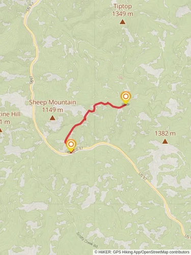
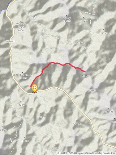
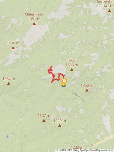
Starting near Chelan County, Washington, the trailhead for Miller Peak via South Fork Shaser Road is accessible by car. From Seattle, take I-90 E and US-97 N to WA-970 W in Kittitas County, then follow WA-970 W and US-97 N to your destination. Public transport options are limited, so driving is recommended.The trail spans approximately 16 km (10 miles) with an elevation gain of around 1400 meters (4600 feet). This point-to-point trail is rated as medium difficulty, making it suitable for moderately experienced hikers.### Initial Ascent and TerrainThe hike begins with a steady ascent through dense forest, providing ample shade and a cool environment. The first 3 km (1.9 miles) involve a gradual climb, gaining about 300 meters (984 feet) in elevation. The trail is well-marked, but it's advisable to use HiiKER for navigation to stay on track.### Mid-Trail Landmarks and WildlifeAs you progress, the forest opens up to reveal stunning vistas of the surrounding mountains. Around the 5 km (3.1 miles) mark, you'll encounter a series of switchbacks that lead to a more exposed ridge. This section is particularly scenic, offering panoramic views of the Teanaway Ridge and the Enchantments. Keep an eye out for local wildlife, including deer, marmots, and various bird species.### Historical SignificanceThe region has a rich history, with remnants of old mining operations visible along the trail. These mines date back to the late 19th and early 20th centuries, when the area was a hub for gold and silver mining. The trail itself was used by miners and settlers, adding a layer of historical intrigue to your hike.### Final Push to Miller PeakThe last 3 km (1.9 miles) are the most challenging, with a steep ascent gaining approximately 500 meters (1640 feet) in elevation. The terrain becomes rocky and more rugged, requiring careful footing. As you approach Miller Peak, the vegetation thins out, and you'll be rewarded with breathtaking 360-degree views from the summit. On clear days, you can see as far as Mount Rainier and Mount Stuart.### Descent and ReturnThe descent follows the same path, so be prepared for a steep and potentially slippery downhill trek. Trekking poles can be particularly useful in this section to maintain balance and reduce strain on your knees.### Preparation and SafetyGiven the elevation gain and length of the trail, it's essential to bring plenty of water, snacks, and layers of clothing to adapt to changing weather conditions. The trail can be snow-covered in early spring and late fall, so check current conditions before heading out. Always let someone know your hiking plans and estimated return time.Using HiiKER for navigation will ensure you stay on the correct path and can track your progress throughout the hike.
Reviews
User comments, reviews and discussions about the Miller Peak via South Fork Shaser Road, Washington.
4.0
average rating out of 5
6 rating(s)
Loading reviews...


