Download
Preview
Add to list
More
10.6 km
~3 hrs 17 min
708 m
Loop
“Discover the breathtaking landscapes and historical wonders of the Berwyn Mountains on this challenging 11 km hike.”
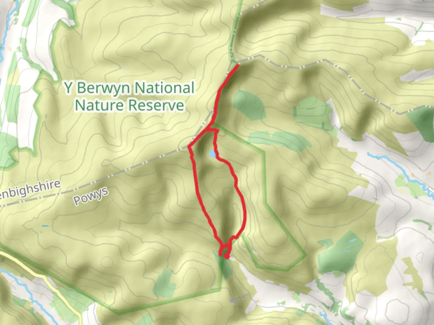
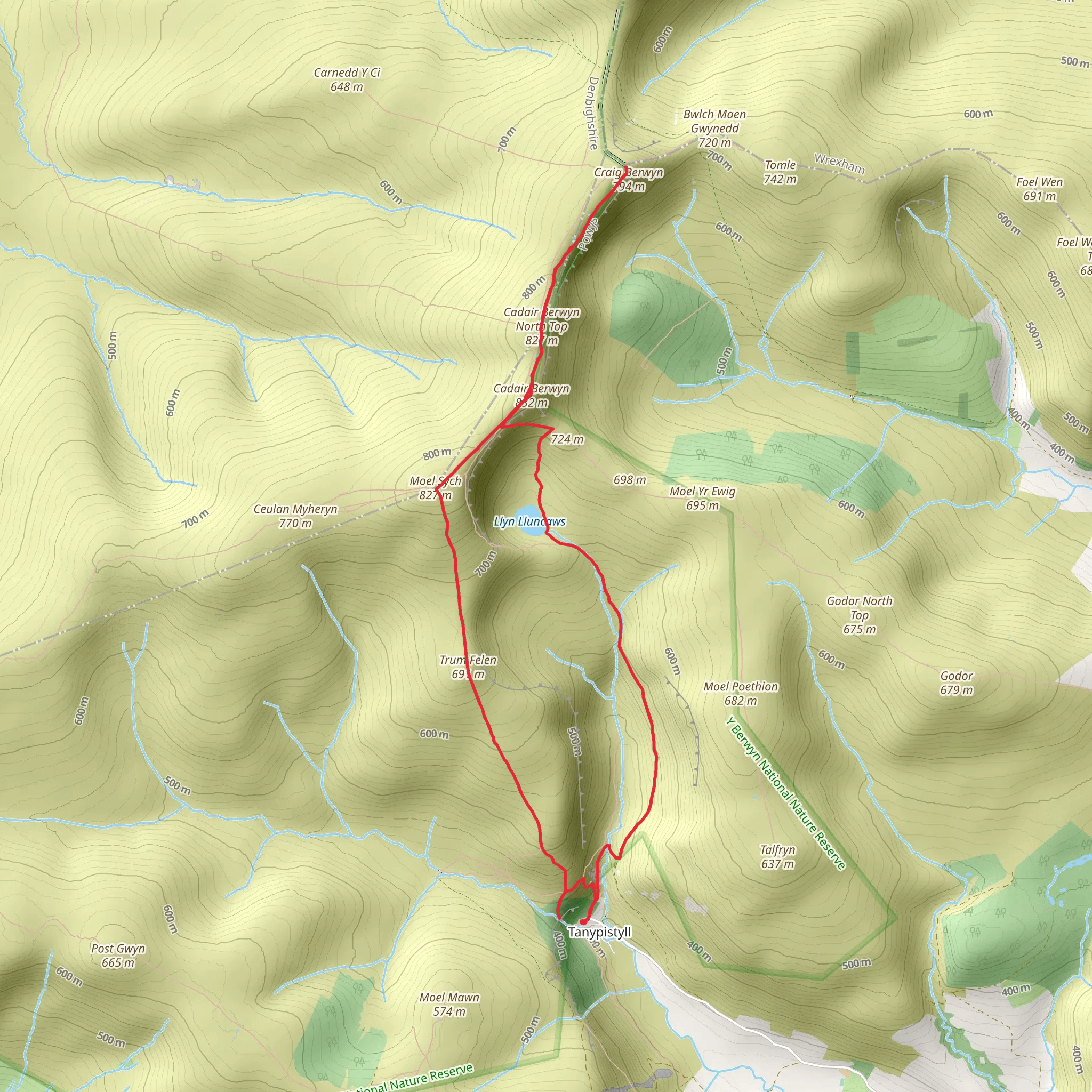
Starting near Powys, Wales, this 11 km (approximately 6.8 miles) loop trail offers a medium difficulty hike with an elevation gain of around 700 meters (2,297 feet). The trailhead is conveniently located near the picturesque village of Llanrhaeadr-ym-Mochnant, which is accessible by car or public transport. If you're driving, there is parking available near the Pistyll Rhaeadr waterfall, one of the tallest waterfalls in Wales. For those using public transport, buses run from nearby towns such as Oswestry and Welshpool to Llanrhaeadr-ym-Mochnant, from where you can walk to the trailhead.### Key Landmarks and Natural FeaturesPistyll Rhaeadr Waterfall The trail begins with a visit to the stunning Pistyll Rhaeadr waterfall, which plunges 73 meters (240 feet) into a serene pool below. This natural wonder is not only a breathtaking sight but also holds historical significance as a place of inspiration for poets and artists over the centuries. The waterfall is a great spot for photography and a peaceful start to your hike.Moel Sych As you ascend towards Moel Sych, the trail becomes steeper, gaining significant elevation. Moel Sych stands at 827 meters (2,713 feet) and offers panoramic views of the surrounding Berwyn Mountains. The terrain here is a mix of grassy slopes and rocky outcrops, so sturdy hiking boots are recommended. Keep an eye out for local wildlife, including red kites and peregrine falcons that often soar above.Craig Berwyn Continuing along the ridge, you'll reach Craig Berwyn, another prominent peak in the Berwyn range. At 827 meters (2,713 feet), it offers equally stunning vistas. The area is rich in flora, with heather and bilberry bushes adding splashes of color to the landscape. This section of the trail is less steep but can be boggy in places, so be prepared for potentially wet conditions.### Navigation and SafetyUsing HiiKER for navigation is highly recommended, as the trail can be challenging to follow in foggy or poor weather conditions. The app provides detailed maps and real-time GPS tracking to ensure you stay on course. Always check the weather forecast before setting out, as conditions in the mountains can change rapidly.### Historical SignificanceThe Berwyn Mountains have a rich history, with evidence of ancient settlements and Roman roads in the area. The name "Berwyn" itself is derived from the Welsh words for "white summit," reflecting the snow-capped peaks that are often visible in winter. Local legends also speak of hidden treasures and mythical creatures, adding an element of mystery to your hike.### Wildlife and FloraThe trail is a haven for wildlife enthusiasts. In addition to birds of prey, you may encounter mountain hares, foxes, and a variety of songbirds. The diverse plant life includes rare alpine species and vibrant wildflowers, particularly in the spring and summer months. ### Getting ThereTo reach the trailhead, drive to Llanrhaeadr-ym-Mochnant and follow signs to Pistyll Rhaeadr. If using public transport, take a bus from Oswestry or Welshpool to Llanrhaeadr-ym-Mochnant, then walk to the waterfall. The journey by car from Oswestry takes about 30 minutes, while the bus ride is approximately 45 minutes.This trail offers a blend of natural beauty, historical intrigue, and challenging terrain, making it a rewarding experience for hikers of all levels.
What to expect?
Activity types
Comments and Reviews
User comments, reviews and discussions about the Pistyll Rhaeadr, Moel Sych and Craig Berwyn Walk, Wales.
4.54
average rating out of 5
175 rating(s)
