Wales Cistercian Way trail stages
stage 1
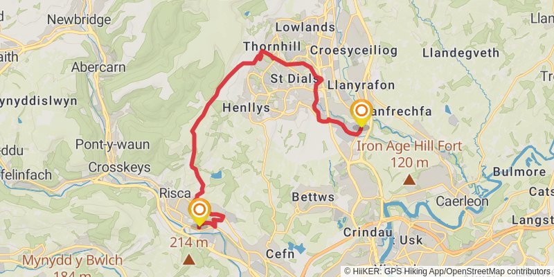
Starting at: Croes-y-mwyalch, Torfaen, NP44 3JJ
Ending at: Risca, Caerphilly County Borough, NP11 6NF
Distance: 15.6 km
Elevation gain: 444 m
Duration: 03:51:21
View on mapstage 2
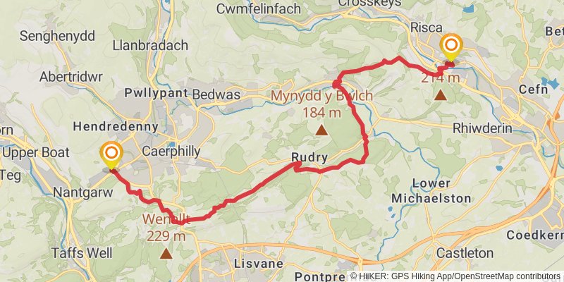
Starting at: Caerphilly County Borough, NP11 6NF
Ending at: Caerphilly County Borough, CF83 1SH
Distance: 19.8 km
Elevation gain: 683 m
Duration: 05:06:31
View on mapstage 3
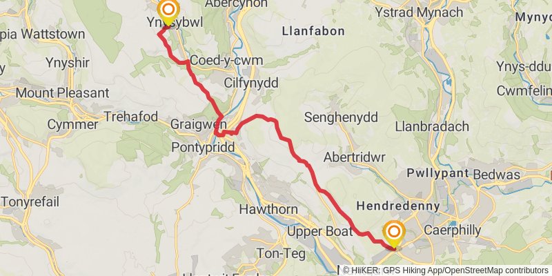
Starting at: Caerphilly County Borough, CF83 1SH
Ending at: Ynysybwl, Rhondda Cynon Taf, CF37 3LG
Distance: 14.2 km
Elevation gain: 490 m
Duration: 03:39:40
View on mapstage 4
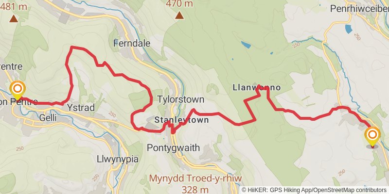
Starting at: Ynysybwl, Rhondda Cynon Taf, CF37 3LG
Ending at: Ton Pentre, Rhondda Cynon Taf, CF41 7AD
Distance: 16.1 km
Elevation gain: 582 m
Duration: 04:11:41
View on mapstage 5
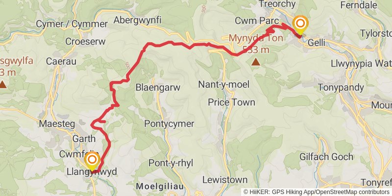
Starting at: Ton Pentre, Rhondda Cynon Taf, CF41 7EF
Distance: 19.9 km
Elevation gain: 590 m
Duration: 04:57:46
View on mapstage 6
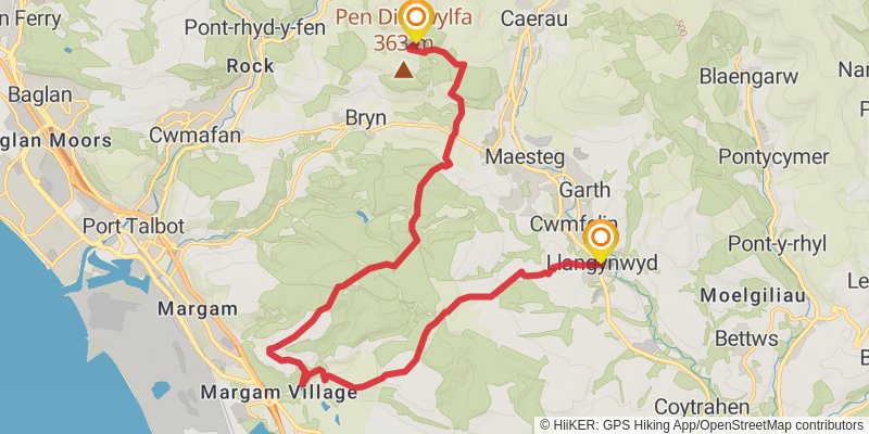
Starting at: Llangynwyd, Bridgend County Borough, CF34 9SG
Ending at: Neath Port Talbot, SA13 3EA
Distance: 20.2 km
Elevation gain: 692 m
Duration: 05:11:16
View on mapstage 7
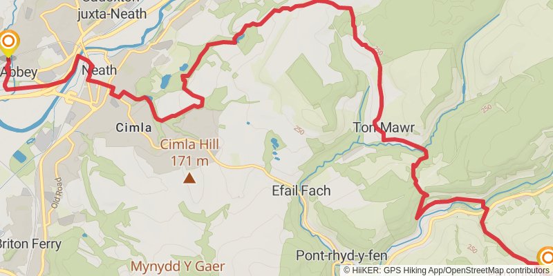
Starting at: Neath Port Talbot, SA13 3EA
Ending at: Neath Abbey, Neath Port Talbot, SA10 7EU
Distance: 17.9 km
Elevation gain: 403 m
Duration: 04:14:38
View on mapstage 8
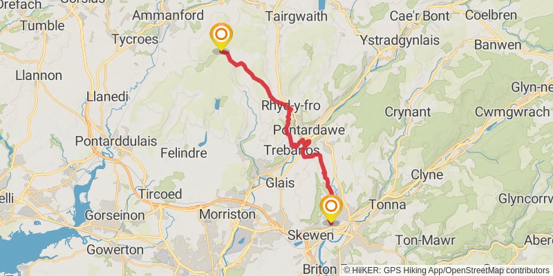
Starting at: Neath Abbey, Neath Port Talbot, SA10 7ET
Ending at: Swansea, SA18 2PW
Distance: 19.4 km
Elevation gain: 686 m
Duration: 05:01:56
View on mapstage 9
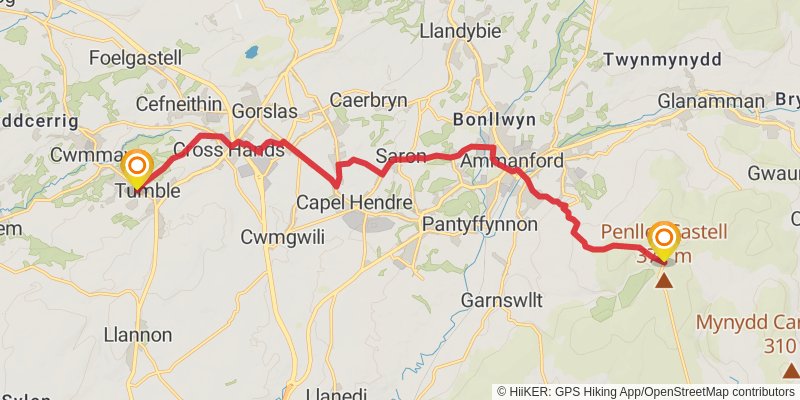
Starting at: Carmarthenshire, SA18 2PN
Ending at: Tumble, Carmarthenshire, SA14 6ER
Distance: 16.6 km
Elevation gain: 218 m
Duration: 03:41:21
View on mapstage 10
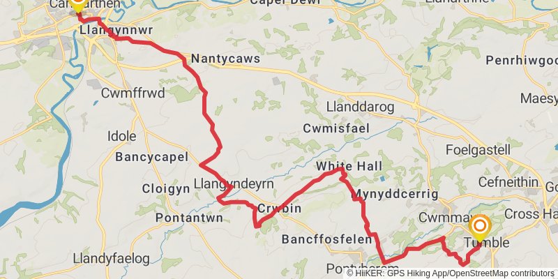
Starting at: Tumble, Carmarthenshire, SA14 6ER
Ending at: Carmarthen, Carmarthenshire, SA31 3AY
Distance: 25.5 km
Elevation gain: 498 m
Duration: 05:55:48
View on mapstage 11
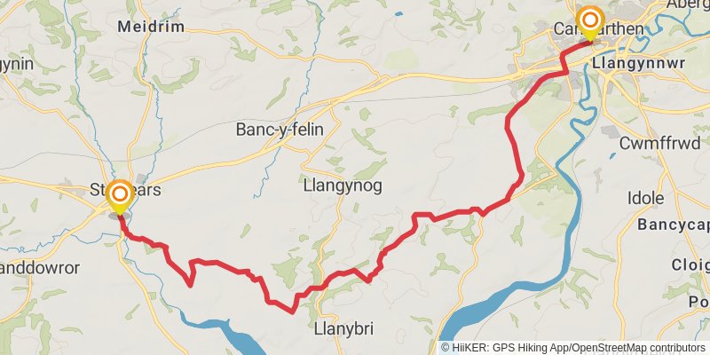
Starting at: Carmarthenshire, SA31 3AY
Ending at: St. Clears, Carmarthenshire, SA33 4DZ
Distance: 21.0 km
Elevation gain: 422 m
Duration: 04:54:04
View on mapstage 12
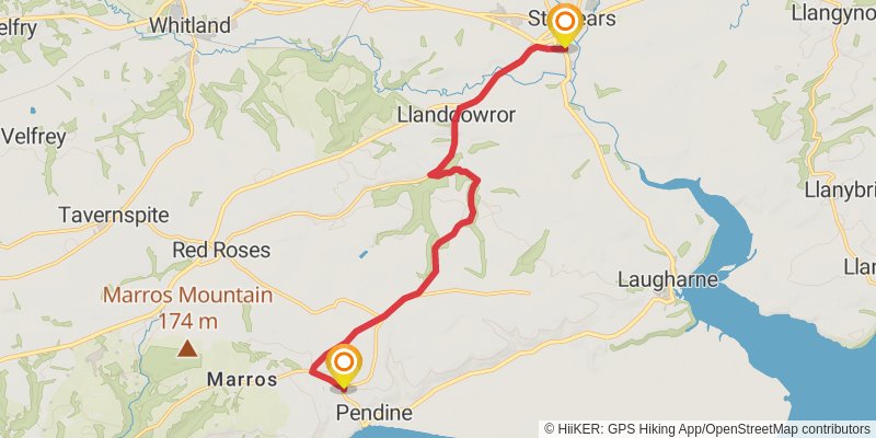
Starting at: Carmarthenshire, SA33 4DZ
Distance: 12.4 km
Elevation gain: 254 m
Duration: 02:54:36
View on mapstage 13
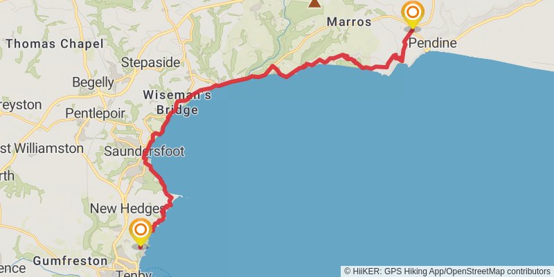
Starting at: Pendine, Carmarthenshire, SA33 4PQ
Distance: 18.4 km
Elevation gain: 820 m
Duration: 05:02:46
View on mapstage 14
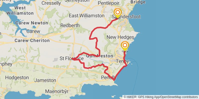
Starting at: Brynhir, Pembrokeshire, SA70 8AU
Ending at: Saundersfoot, Pembrokeshire, SA69 9HT
Distance: 19.3 km
Elevation gain: 323 m
Duration: 04:23:35
View on mapstage 15
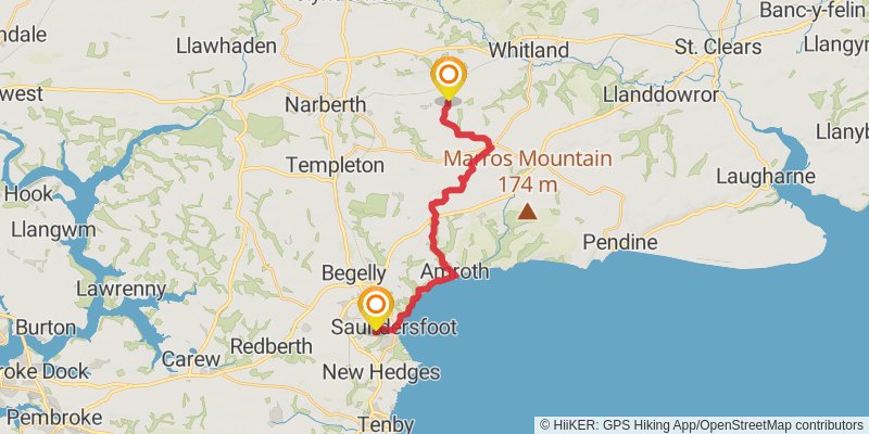
Starting at: Pembrokeshire, SA69 9HT
Ending at: Lampeter Velfrey, Pembrokeshire, SA34 0RB
Distance: 17.7 km
Elevation gain: 382 m
Duration: 04:10:58
View on mapstage 16
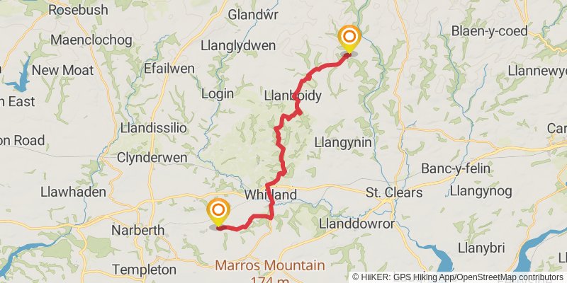
Starting at: Lampeter Velfrey, Pembrokeshire, SA34 0RB
Ending at: Cwmbach, Carmarthenshire, SA34 0DR
Distance: 21.5 km
Elevation gain: 539 m
Duration: 05:11:24
View on mapstage 17
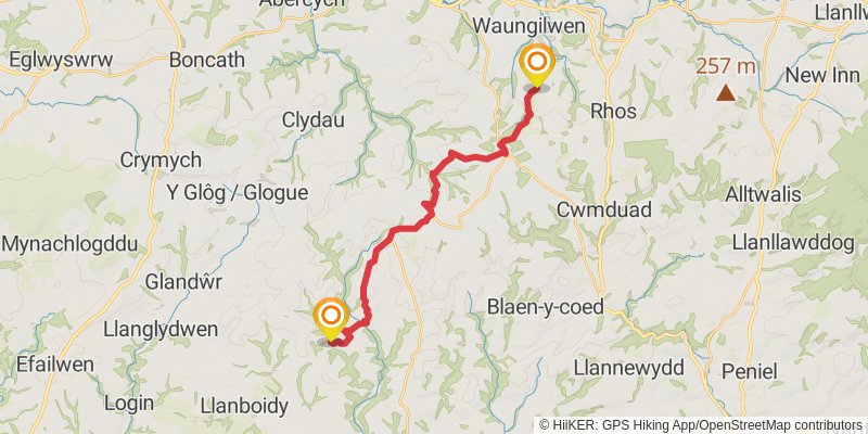
Starting at: Cwmbach, Carmarthenshire, SA34 0DR
Ending at: Cwmpengraig, Carmarthenshire, SA44 5HT
Distance: 19.8 km
Elevation gain: 490 m
Duration: 04:46:04
View on mapstage 18
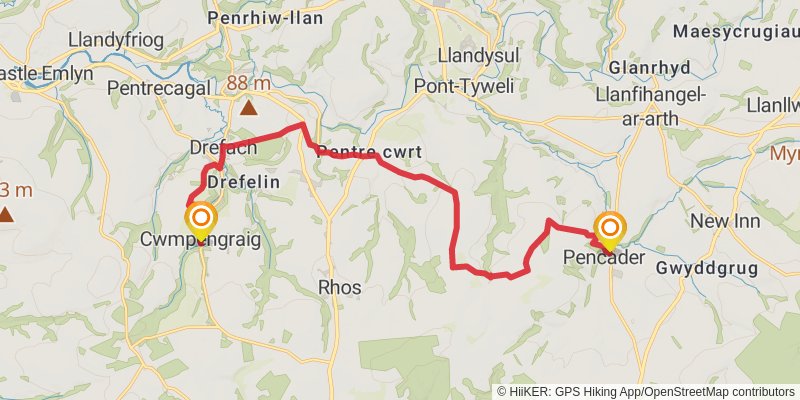
Starting at: Cwmpengraig, Carmarthenshire, SA44 5HT
Ending at: Pencader, Carmarthenshire, SA39 9BP
Distance: 16.6 km
Elevation gain: 426 m
Duration: 04:02:14
View on mapstage 19
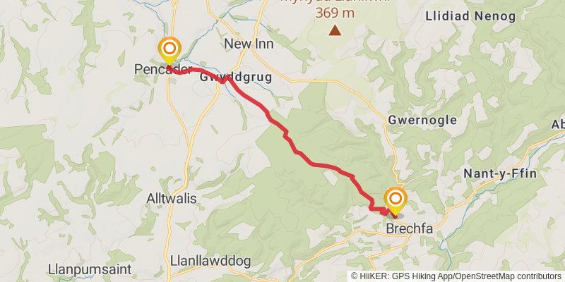
Starting at: Pencader, Carmarthenshire, SA39 9ER
Ending at: Brechfa, Carmarthenshire, SA32 7BN
Distance: 10.7 km
Elevation gain: 263 m
Duration: 02:34:57
View on mapstage 20
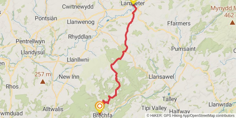
Starting at: Brechfa, Carmarthenshire, SA32 7BN
Distance: 25.9 km
Elevation gain: 719 m
Duration: 06:23:09
View on mapstage 21
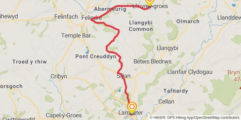
Starting at: Barley Mow, Ceredigion, SA48 7HG
Distance: 16.1 km
Elevation gain: 401 m
Duration: 03:52:46
View on mapstage 22
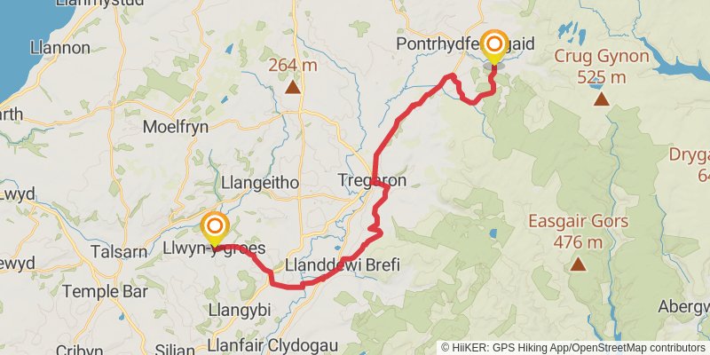
Starting at: Llwyn-y-groes, Ceredigion, SY25 6QA
Distance: 28.4 km
Elevation gain: 570 m
Duration: 06:38:15
View on mapstage 23
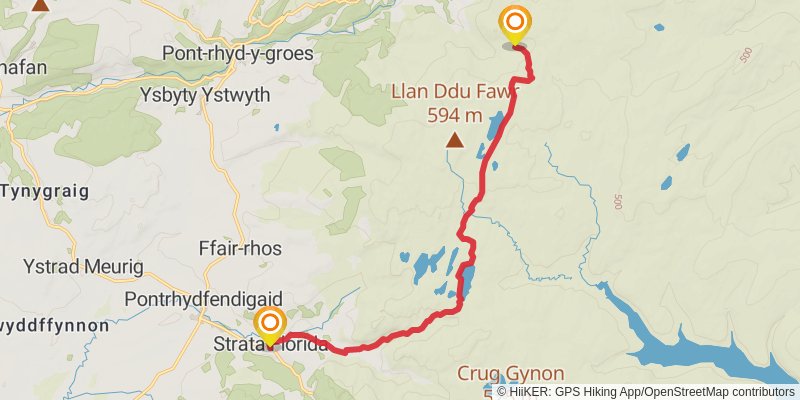
Starting at: Strata Florida, Ceredigion, SY25 6ES
Ending at: Ceredigion
Distance: 12.8 km
Elevation gain: 488 m
Duration: 03:22:55
View on mapstage 24
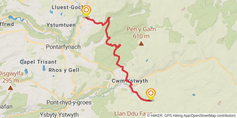
Starting at: Ceredigion
Ending at: Ponterwyd, Ceredigion, SY23 3LF
Distance: 13.4 km
Elevation gain: 459 m
Duration: 03:26:18
View on mapstage 25
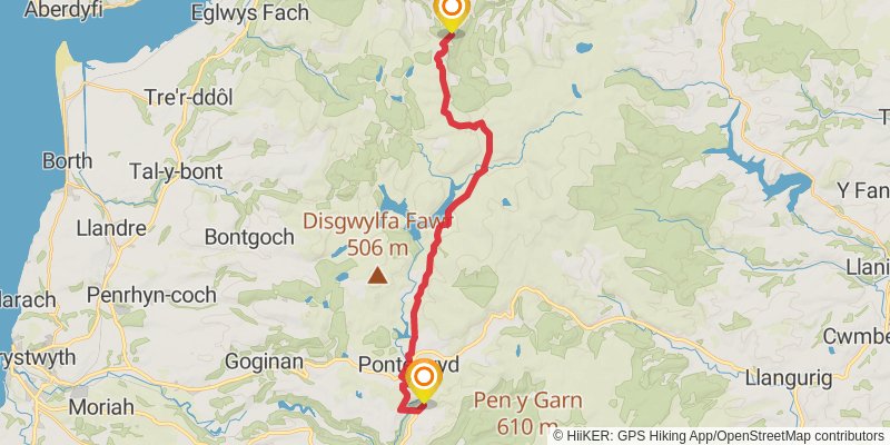
Starting at: Ponterwyd, Ceredigion, SY23 3JR
Ending at: Llwyn-gwyn, Powys, SY20 8RR
Distance: 21.7 km
Elevation gain: 726 m
Duration: 05:32:26
View on mapstage 26
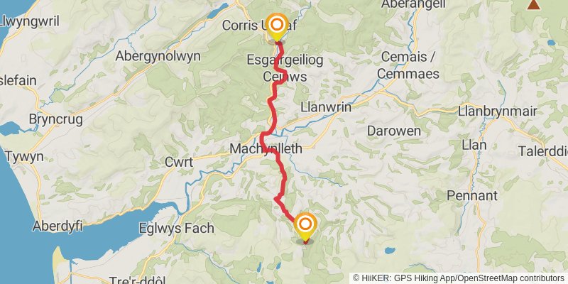
stage 27
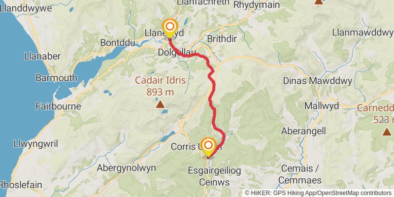
Starting at: Corris, Gwynedd, SY20 9SS
Ending at: Llanelltyd, Gwynedd, LL40 2HB
Distance: 16.4 km
Elevation gain: 526 m
Duration: 04:08:51
View on mapstage 28
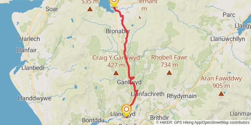
Starting at: Llanelltyd, Gwynedd, LL40 2HB
Distance: 20.8 km
Elevation gain: 712 m
Duration: 05:21:01
View on mapstage 29
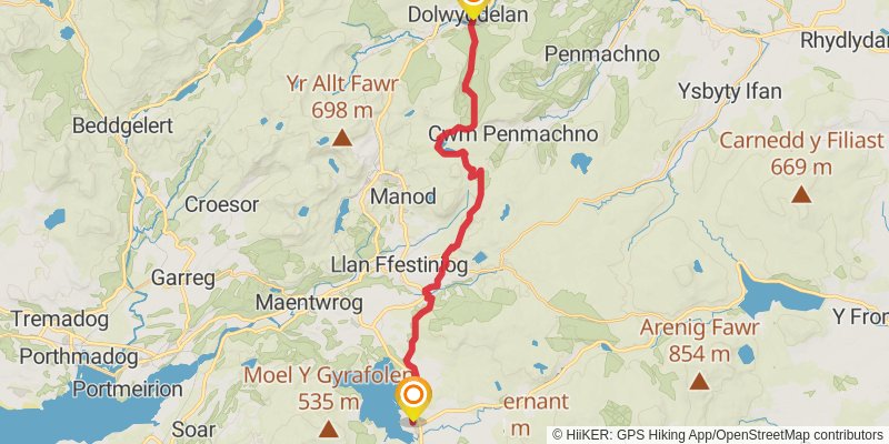
Starting at: Trawsfynydd, Gwynedd, LL41 4SE
Ending at: Dolwyddelan, Conwy, LL25 0TJ
Distance: 22.6 km
Elevation gain: 677 m
Duration: 05:39:28
View on mapstage 30
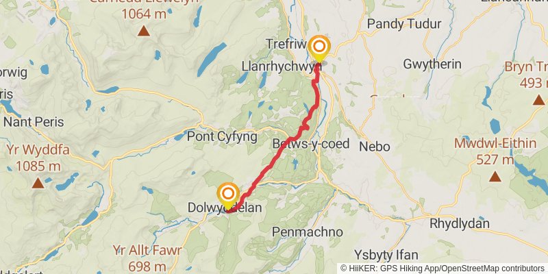
Starting at: Dolwyddelan, Conwy, LL25 0TQ
Ending at: Llanrwst, Conwy, LL26 0AT
Distance: 14.6 km
Elevation gain: 411 m
Duration: 03:36:23
View on map