Download
Preview
Add to list
More
8.7 km
~2 hrs 39 min
558 m
Loop
“Embark on a breathtaking 9 km hike through Wales' rugged Clwydian Range, brimming with history and natural splendor.”
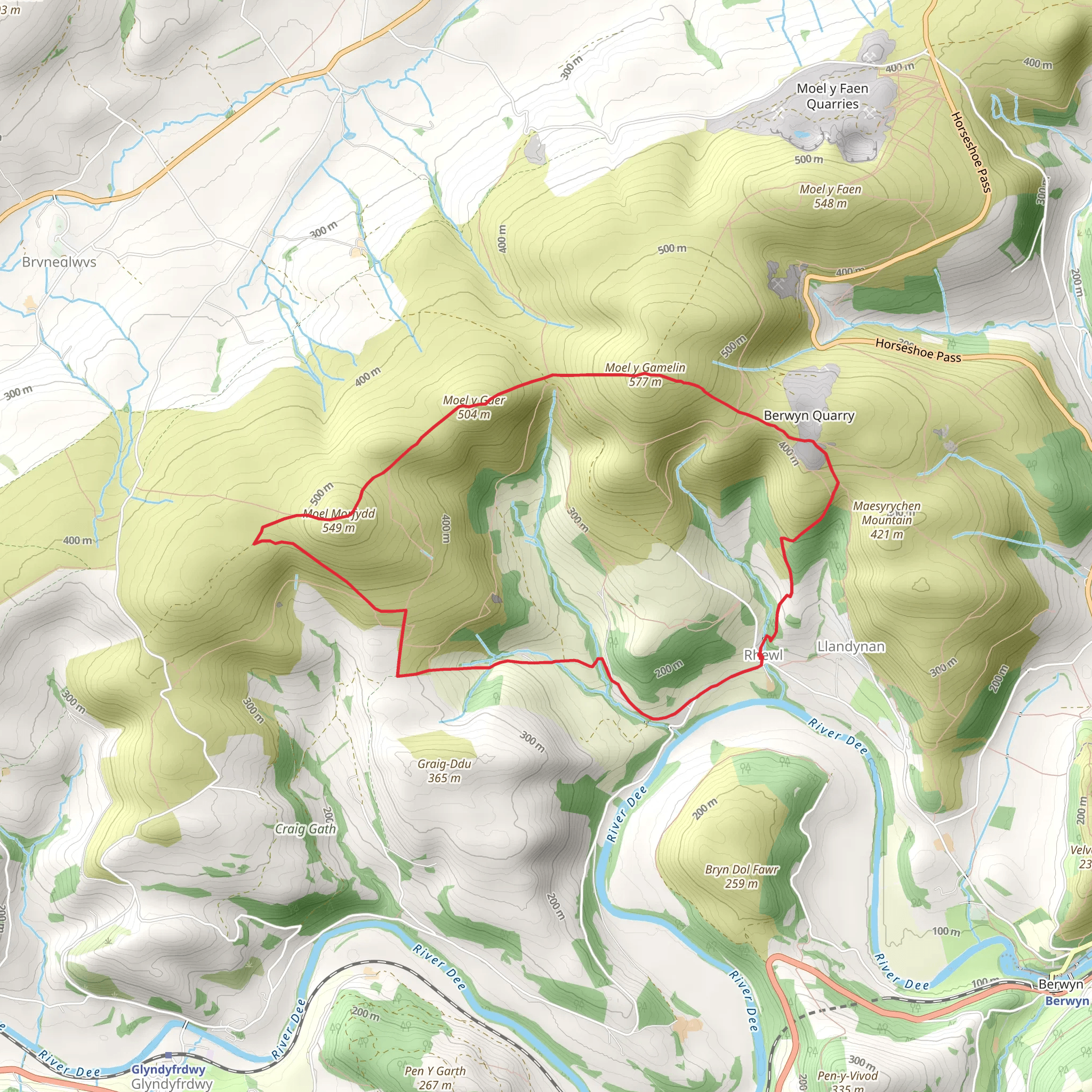
The Rhewl - Moel y Gamelin and Moel Morfydd trail, a challenging loop of approximately 9 km (5.6 miles) with an elevation gain of around 500 meters (1640 feet), is nestled in the scenic Clwydian Range, near Denbighshire, Wales. This trail is not for the faint-hearted, as it is rated difficult due to its steep ascents and rugged terrain. Hikers should be well-prepared with proper gear, water, and snacks, and be in good physical condition to tackle this adventure.
Getting to the Trailhead
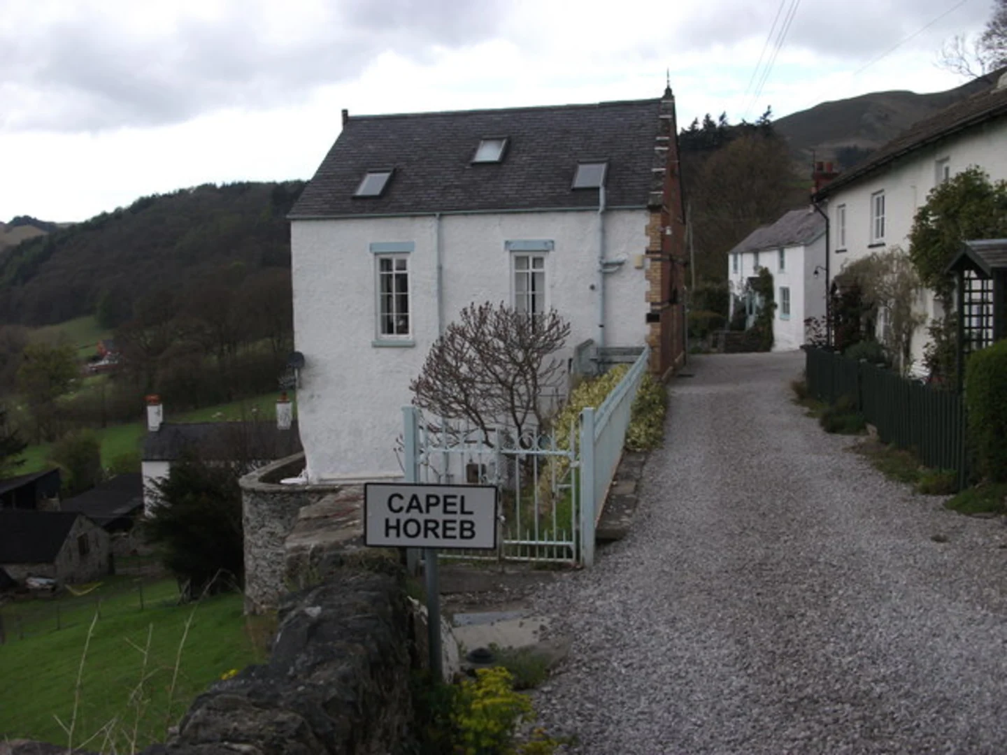
To reach the trailhead, travelers can drive to the small village of Rhewl, which is the nearest settlement. For those relying on public transport, buses serve the surrounding areas, but it may require a bit of walking to get to the actual starting point. Parking is available near the trailhead for those who come by car.
The Hike Itself
Upon embarking on the trail, hikers will immediately be greeted by the lush Welsh countryside, with rolling hills and pastoral lands stretching out in all directions. The initial ascent is gradual, allowing hikers to warm up before the more challenging climbs ahead.
As the trail progresses, the climb becomes steeper, leading up to Moel y Gamelin, a prominent hill standing at an elevation of 577 meters (1893 feet). From this vantage point, hikers are rewarded with panoramic views of the Dee Valley and beyond. The landscape is dotted with remnants of the area's rich history, including ancient hill forts that speak to a time when these heights were of strategic importance.
Flora and Fauna
The area is a haven for wildlife enthusiasts, with a variety of birds such as skylarks and buzzards often seen soaring above. The terrain is a mixture of heather-clad moorland and grassy slopes, which during the spring and summer months bloom with a colorful array of wildflowers.
Historical Significance
The Clwydian Range is steeped in history, with archaeological evidence of human activity dating back to the Bronze Age. The trail passes near several historical sites, including the Iron Age hillforts on Moel y Gaer. These ancient structures remind hikers of the region's past inhabitants and their enduring legacy on the landscape.
Navigating the Trail
For navigation, hikers can rely on the HiiKER app, which provides detailed maps and waypoints to ensure you stay on the correct path. It's advisable to download the trail map before setting out, as mobile reception can be spotty in the more remote sections of the hike.
Descent and Loop Completion
After reaching the summit of Moel y Gamelin, the trail continues to Moel Morfydd, another hill offering stunning views. The descent from here can be quite steep, so careful footing is necessary. The loop eventually winds back down to the starting point in Rhewl, where hikers can reflect on the challenging but rewarding journey they've completed.
Preparation and Safety
Given the trail's difficulty, it's important to check the weather forecast before heading out, as conditions can change rapidly in the hills. Hikers should also inform someone of their plans and expected return time. With the right preparation and respect for the natural environment, the Rhewl - Moel y Gamelin and Moel Morfydd trail offers an exhilarating experience for seasoned hikers looking to explore the beauty of North Wales.
What to expect?
Activity types
Comments and Reviews
User comments, reviews and discussions about the Rhewl - Moel y Gamelin and Moel Morfydd, Wales.
4.52
average rating out of 5
54 rating(s)

