Download
Preview
Add to list
More
11.8 km
~2 hrs 32 min
107 m
Loop
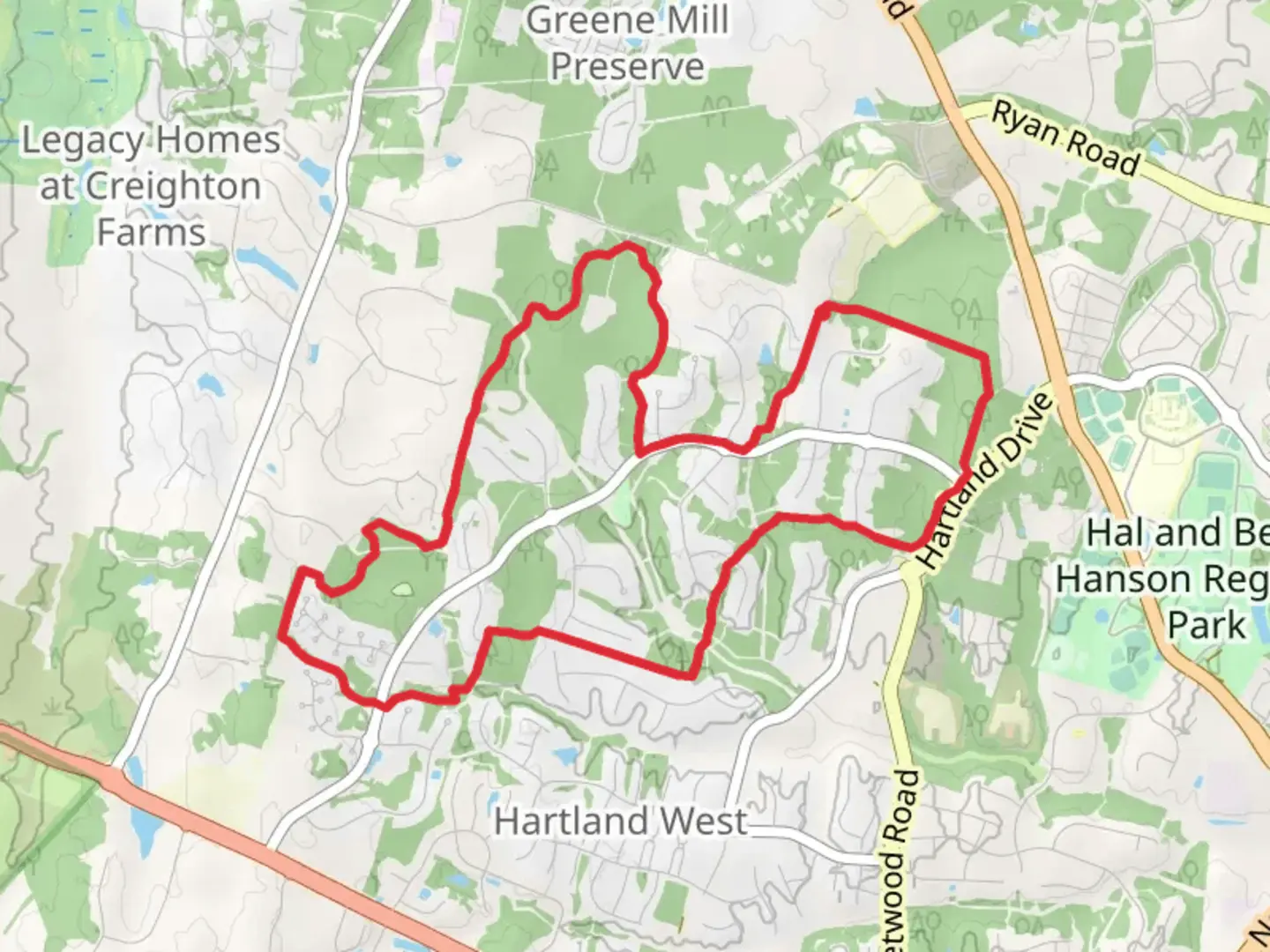
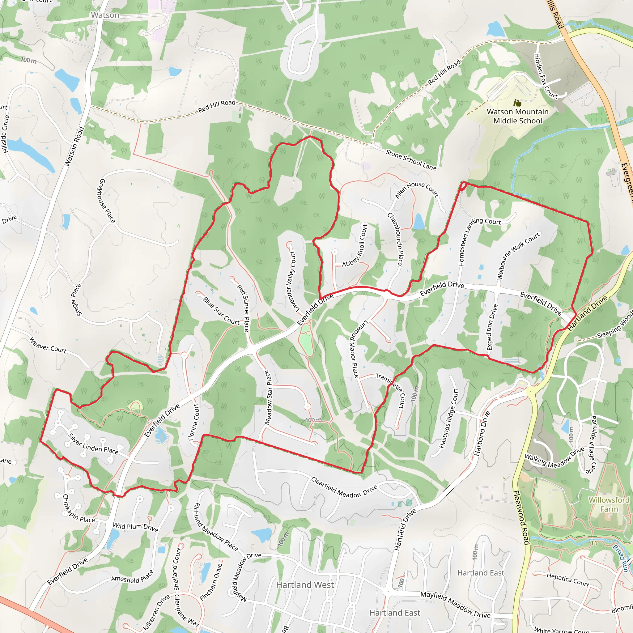
“Explore the scenic 12 km Grant Loop, showcasing lush forests, meadows, streams, and historical landmarks.”
Starting near Loudoun County, Virginia, the Grant Loop is a scenic 12 km (approximately 7.5 miles) loop trail with an elevation gain of around 100 meters (328 feet). This trail is rated as medium difficulty, making it suitable for moderately experienced hikers.### Getting There To reach the trailhead, you can drive or use public transport. If driving, set your GPS to the nearest known address: Franklin Park, 17501 Franklin Park Dr, Purcellville, VA 20132. From there, it's a short drive to the trailhead. For those using public transport, the nearest major transit hub is the Purcellville Park and Ride, located at 412 Browning Ct, Purcellville, VA 20132. From the Park and Ride, you can take a local taxi or rideshare service to the trailhead.### Trail Overview The Grant Loop offers a diverse hiking experience, winding through lush forests, open meadows, and alongside serene streams. The trail is well-marked, but it's always a good idea to have a reliable navigation tool like HiiKER to ensure you stay on track.### Key Landmarks and Points of Interest - 0-2 km (0-1.2 miles): The initial section of the trail takes you through dense woodlands, where you can spot a variety of bird species and small mammals. Keep an eye out for white-tailed deer, which are commonly seen in this area. - 2-4 km (1.2-2.5 miles): As you progress, the trail opens up into rolling meadows. This is a great spot to take a break and enjoy the panoramic views of the surrounding countryside. Wildflowers are abundant in the spring and summer months. - 4-6 km (2.5-3.7 miles): The trail then descends slightly and follows a picturesque stream. This section is particularly beautiful in the fall when the foliage turns vibrant shades of red and orange. Be cautious of slippery rocks near the water. - 6-8 km (3.7-5 miles): Midway through the loop, you'll encounter a small wooden bridge that crosses the stream. This is a popular spot for photos. Shortly after the bridge, the trail begins a gentle ascent back into the forest. - 8-10 km (5-6.2 miles): The trail continues through mixed hardwood forests. Look out for historical markers indicating the presence of old homesteads and Civil War-era sites. Loudoun County has a rich history, and these markers provide a glimpse into the past. - 10-12 km (6.2-7.5 miles): The final stretch of the trail brings you back to the starting point, passing through more open meadows and offering one last chance to soak in the natural beauty of the area.### Wildlife and Flora The Grant Loop is home to a variety of wildlife, including foxes, raccoons, and numerous bird species such as woodpeckers and hawks. The flora is equally diverse, with oak, hickory, and maple trees dominating the landscape. In the spring, the forest floor is carpeted with wildflowers like trillium and Virginia bluebells.### Historical Significance Loudoun County played a significant role during the Civil War, and the Grant Loop passes near several historical sites. Keep an eye out for informational plaques that provide context about the area's history. These markers often detail skirmishes and troop movements that took place in the region.### Preparation Tips Given the moderate difficulty of the trail, it's advisable to wear sturdy hiking boots and bring plenty of water, especially during the warmer months. The trail can be muddy after rain, so check the weather forecast and plan accordingly. A map on HiiKER will be invaluable for navigation and ensuring you make the most of your hike.Enjoy your adventure on the Grant Loop, where natural beauty and historical intrigue combine to offer a memorable hiking experience.
What to expect?
Activity types
Comments and Reviews
User comments, reviews and discussions about the Grant Loop, Virginia.
4.67
average rating out of 5
9 rating(s)
