Download
Preview
Add to list
More
6.2 km
~1 hrs 26 min
116 m
Point-to-Point
“A scenic 6 km trail from Fairfax County combines lush parks, historical landmarks, and moderate challenges.”
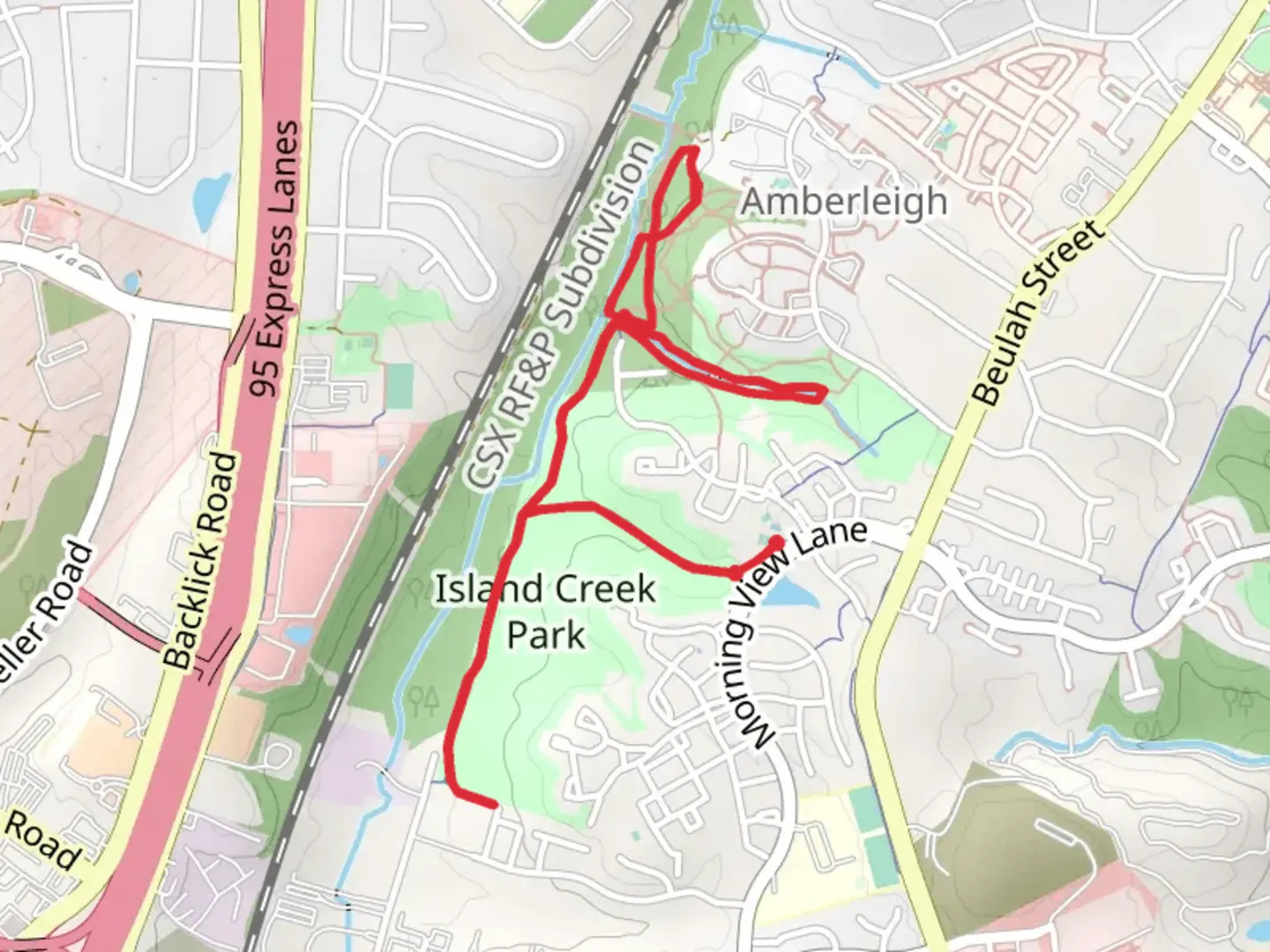
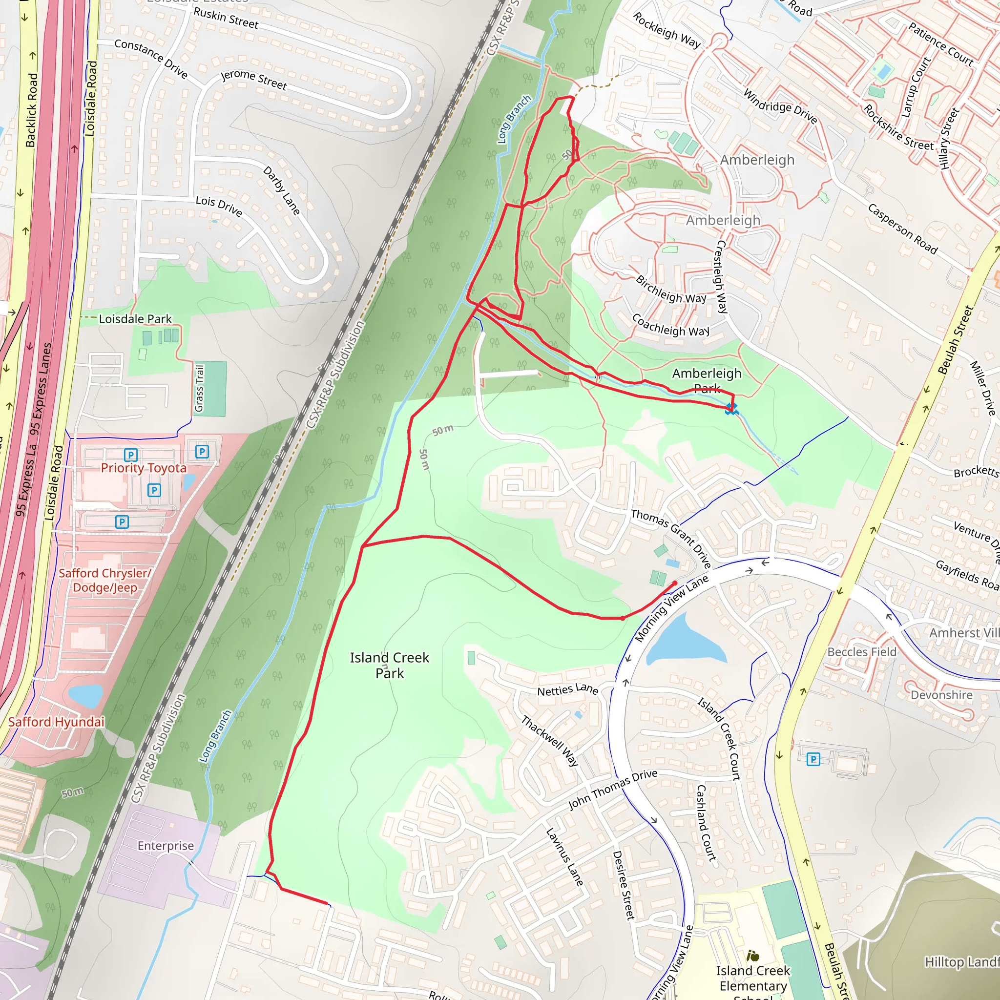
Starting near Fairfax County, Virginia, this point-to-point trail stretches approximately 6 km (around 3.7 miles) with an elevation gain of about 100 meters (328 feet). The trailhead is conveniently located near the intersection of Island Creek Park and Amberleigh Park, making it accessible for both locals and visitors.
Getting There For those using public transport, the nearest metro station is the Franconia-Springfield Metro Station, which is about 2 miles (3.2 km) from the trailhead. From the station, you can take a local bus or a short taxi ride to reach the starting point. If you're driving, there is parking available at Island Creek Park, located near the intersection of Morning View Lane and Island Creek Court.
Trail Overview The trail begins at Island Creek Park, a serene area known for its lush greenery and well-maintained paths. As you start your hike, you'll notice the gentle ascent, gaining about 50 meters (164 feet) in the first 1.5 km (0.9 miles). This section is relatively easy, making it a good warm-up for the more challenging parts ahead.
Key Landmarks and Nature Around the 2 km (1.2 miles) mark, you'll enter Amberleigh Park. This park is a haven for bird watchers, with species like the Northern Cardinal and American Goldfinch frequently spotted. Keep an eye out for the interpretive signs that provide information about the local flora and fauna. The park also features a small pond, which is a great spot for a short break.
Continuing on, the trail takes you through a mixed forest of oak, maple, and pine trees. This section is particularly beautiful in the fall when the leaves change color. The terrain here becomes a bit more rugged, with a few rocky patches and a moderate incline, adding another 30 meters (98 feet) of elevation gain over the next 2 km (1.2 miles).
Historical Significance As you approach the 4 km (2.5 miles) mark, you'll come across Long Branch, a historically significant area. This region was once a part of the extensive network of trails used by Native American tribes for hunting and trading. There are several plaques along the trail that provide historical context, making this a great educational stop.
Final Stretch The last 2 km (1.2 miles) of the trail are relatively flat, making for an easy finish. You'll pass through a meadow area, which is often filled with wildflowers in the spring and summer. This section is also a good spot to see deer and other small mammals.
Navigation and Safety For navigation, it's highly recommended to use the HiiKER app, which provides detailed maps and real-time updates. The trail is well-marked, but having a reliable navigation tool can help you stay on track, especially in the more wooded sections.
Ending Point The trail concludes near the intersection of Beulah Street and Franconia-Springfield Parkway, where you can easily catch a bus back to the Franconia-Springfield Metro Station or find parking if you've arranged for a pick-up.
This trail offers a mix of natural beauty, moderate physical challenge, and historical insights, making it a rewarding experience for hikers of all levels.
What to expect?
Activity types
Comments and Reviews
User comments, reviews and discussions about the Island Creek Park, Amberleigh Park and Long Branch, Virginia.
4.5
average rating out of 5
14 rating(s)
