Download
Preview
Add to list
More
21.5 km
~4 hrs 25 min
75 m
Point-to-Point
“Explore the Virginia Capital Trail, where history and nature converge on a scenic, accessible path from Jamestown to Richmond.”
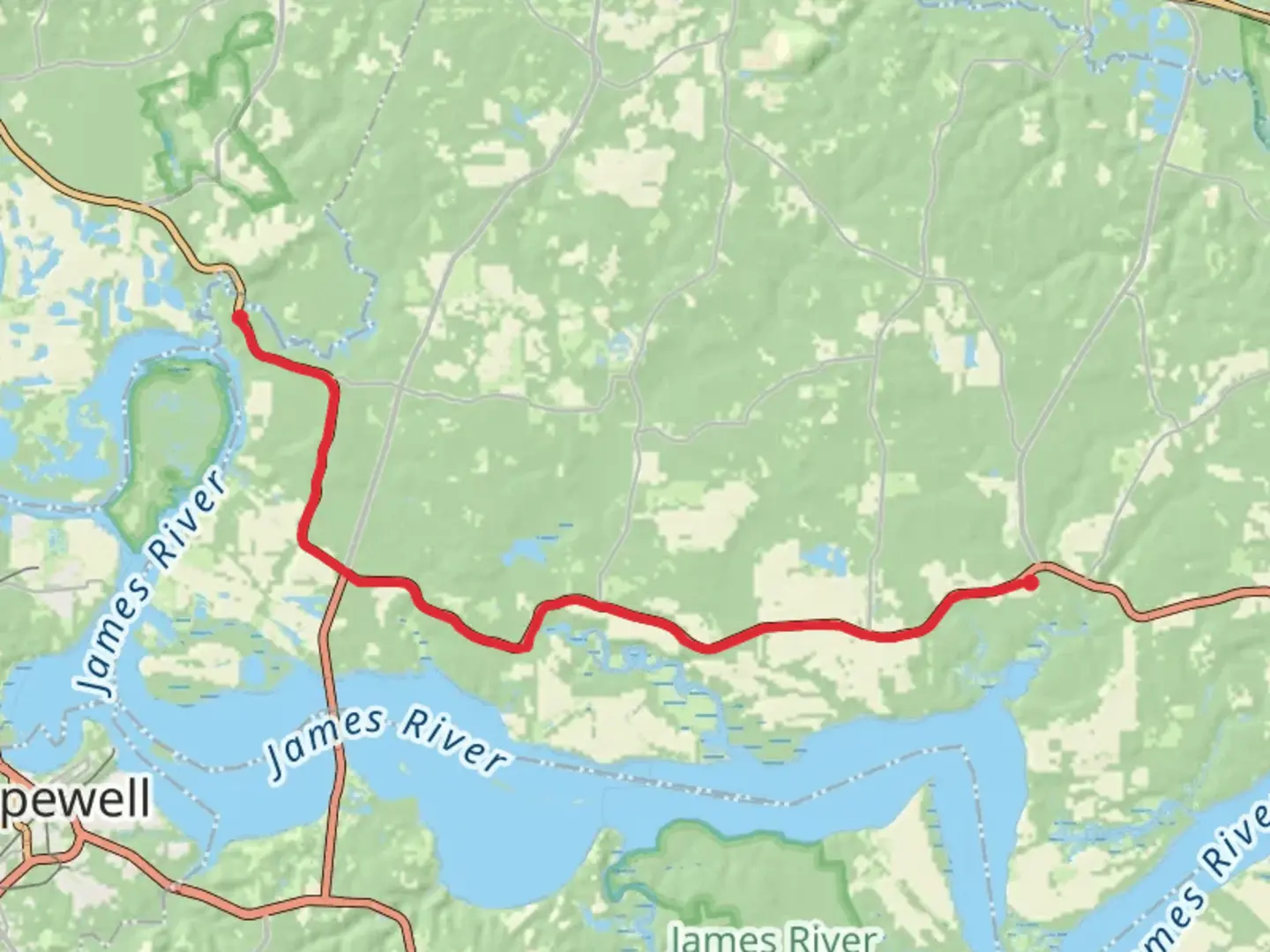
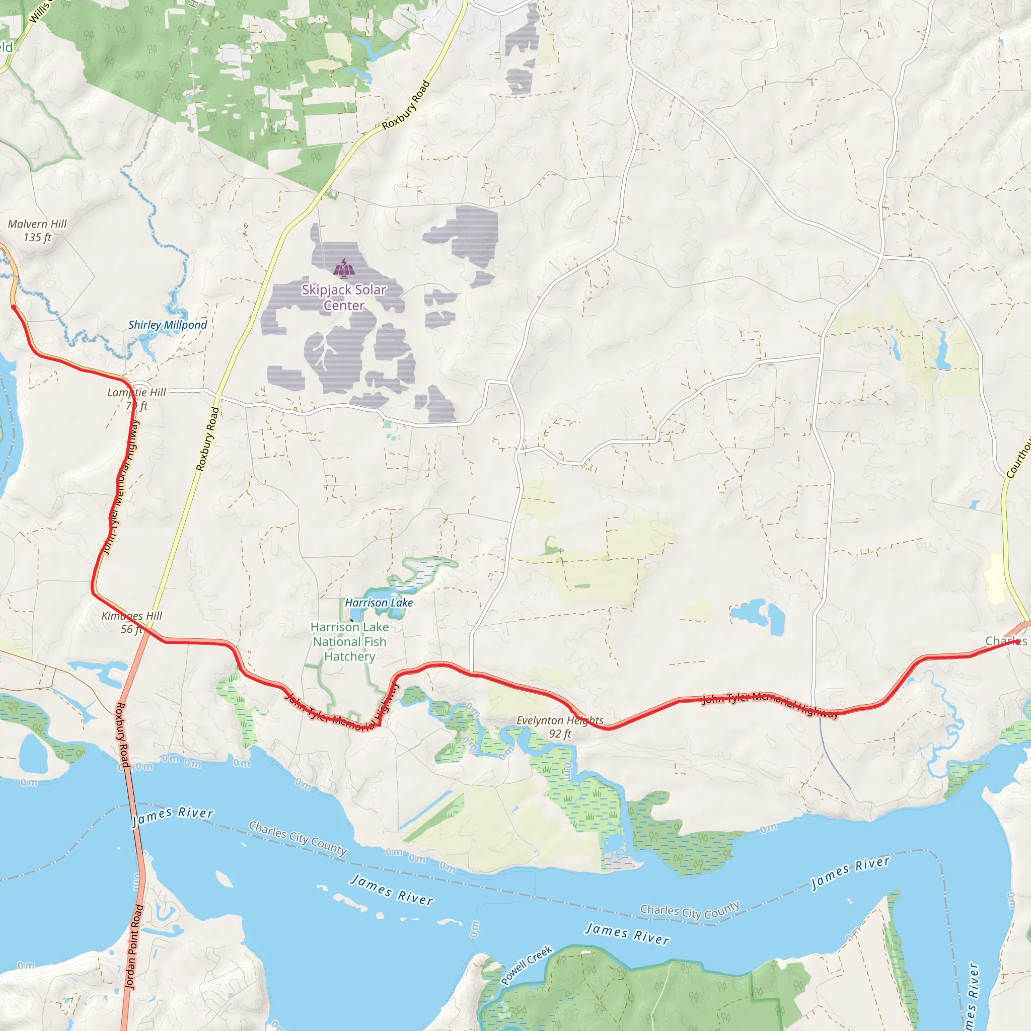
The Virginia Capital Trail stretches approximately 22 kilometers (around 13.7 miles) and is a point-to-point trail that connects Virginia's past and present capitals of Jamestown and Richmond. With virtually no elevation gain, this paved pathway offers a relatively easy and accessible journey for cyclists, runners, and walkers of all skill levels.
Getting to the Trailhead
The trailhead near Charles City County is accessible by car, with parking available at multiple points along the trail for those who wish to start at different sections. Public transportation options are limited, so driving is the most convenient way to reach the starting point. For those using navigation tools, HiiKER can provide detailed directions to the nearest parking area to begin your adventure.
Historical Significance
As you embark on the Virginia Capital Trail, you're not just taking a scenic route; you're also traversing a corridor rich in American history. The trail follows the Route 5 corridor, a historic byway that parallels the James River. This area is known for its numerous plantations and significant historical landmarks dating back to the colonial era.
Trail Experience
Starting near Charles City County, the trail meanders through Virginia's lush landscapes, offering picturesque views of the countryside. Along the way, you'll encounter interpretive signs that provide insights into the area's history, including information about the early English settlements and the Powhatan Confederacy.
The trail is well-maintained and clearly marked, making navigation straightforward. HiiKER can be used to track your progress and pinpoint your location along the route. Restrooms and picnic areas are available at various points, allowing for comfortable breaks to rest and refuel.
Nature and Wildlife
The Virginia Capital Trail is a haven for nature enthusiasts. The surrounding woodlands and wetlands are home to a diverse array of wildlife. Keep an eye out for deer, birds, and other native species as you make your way along the trail. The changing seasons bring a dynamic backdrop to the trail, with vibrant wildflowers in the spring and a cascade of autumn colors in the fall.
Points of Interest
Approximately halfway through the trail, you'll find the Sherwood Forest Plantation, the home of President John Tyler. This is an excellent spot to take a break and immerse yourself in the historical significance of the region. As you approach Richmond, the trail offers stunning views of the Richmond skyline, signaling the end of your journey through Virginia's historical landscape.
Preparation and Planning
Before setting out, ensure you have adequate water and snacks, as the trail's length can take several hours to complete, especially if you're walking. While the trail is rated as medium difficulty due to its distance, the flat terrain makes it manageable for most people. Always check the weather forecast and dress appropriately, as the trail offers limited shade and can be quite exposed on sunny days.
Remember, the Virginia Capital Trail is a shared-use path, so be courteous to other trail users. Whether you're in it for the exercise, the history, or the natural beauty, the Virginia Capital Trail provides a unique opportunity to explore the heart of Virginia at your own pace.
What to expect?
Activity types
Comments and Reviews
User comments, reviews and discussions about the Virginia Capital Trail, Virginia.
4.44
average rating out of 5
16 rating(s)
