Download
Preview
Add to list
More
3.5 km
~50 min
85 m
Loop
“This 3 km loop trail near Arlington County blends natural beauty, wildlife, and historical significance for a rewarding hike.”
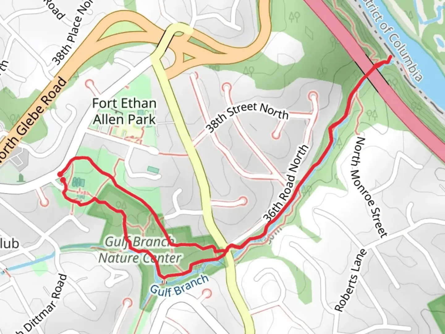
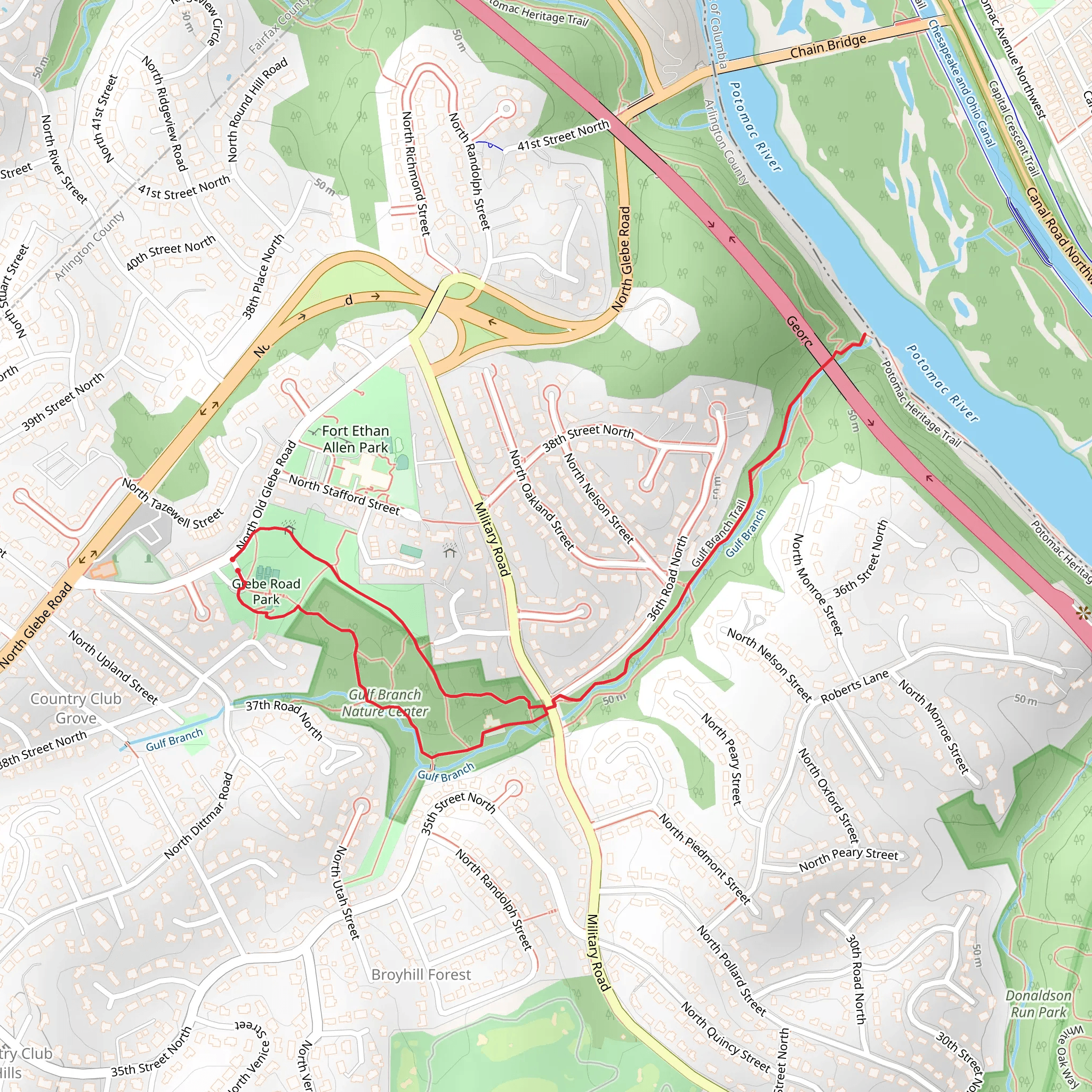
Starting near Arlington County, Virginia, this 3 km (approximately 1.86 miles) loop trail offers a delightful mix of natural beauty and historical significance. With an elevation gain of around 0 meters (0 feet), it is accessible for hikers of varying skill levels, though it is rated as medium difficulty due to some uneven terrain and occasional muddy patches.
Getting There To reach the trailhead, you can drive and park near the Glebe Road Park, located at 4211 N Old Glebe Rd, Arlington, VA 22207. If you prefer public transport, the nearest metro station is Ballston-MU on the Orange and Silver lines. From there, you can take the ART 53 bus to the intersection of N Glebe Rd and N Old Glebe Rd, which is a short walk from the trailhead.
Trail Navigation For navigation, it is highly recommended to use the HiiKER app, which provides detailed maps and real-time updates. The trail is well-marked, but having a reliable navigation tool can enhance your hiking experience.
Trail Highlights As you embark on the trail, you'll first encounter the serene surroundings of Glebe Road Park. This area is perfect for a brief warm-up or a picnic before or after your hike. The park features open green spaces and playgrounds, making it a family-friendly starting point.
Nature and Wildlife The trail meanders through a lush forested area, offering a canopy of trees that provide ample shade. Keep an eye out for local wildlife, including deer, squirrels, and a variety of bird species. The Gulf Branch stream runs parallel to parts of the trail, adding a soothing soundtrack of flowing water to your hike.
Historical Significance One of the notable aspects of this trail is its proximity to the Gulf Branch Nature Center, located at 3608 N Military Rd, Arlington, VA 22207. The nature center offers educational exhibits about the local ecosystem and the history of the area. The region was historically significant during the Civil War, serving as a strategic location for both Union and Confederate forces.
Points of Interest Approximately 1 km (0.62 miles) into the hike, you'll come across a charming wooden bridge that spans the Gulf Branch stream. This is a great spot for photos and a brief rest. Further along, at around the 2 km (1.24 miles) mark, you'll find a small waterfall, especially picturesque after a rainfall.
Trail Conditions The trail is mostly dirt and can become muddy after rain, so waterproof hiking boots are recommended. There are a few rocky sections, so watch your footing. Despite the lack of significant elevation gain, the trail's natural obstacles contribute to its medium difficulty rating.
Final Stretch As you loop back towards the starting point, you'll pass through a more open area with wildflowers in bloom during the spring and summer months. This final stretch offers a gentle descent back to Glebe Road Park, where you can relax and reflect on your hike.
This trail offers a perfect blend of natural beauty, wildlife, and historical context, making it a rewarding experience for any hiker.
What to expect?
Activity types
Comments and Reviews
User comments, reviews and discussions about the Glebe Road Park and Gulf Branch Trail, Virginia.
4.28
average rating out of 5
25 rating(s)
