Download
Preview
Add to list
More
28.1 km
~1 day 0 hrs
10 m
Out and Back
“The Weber Pathways Rail Trail offers a scenic, flat 28 km hike rich in history and wildlife.”
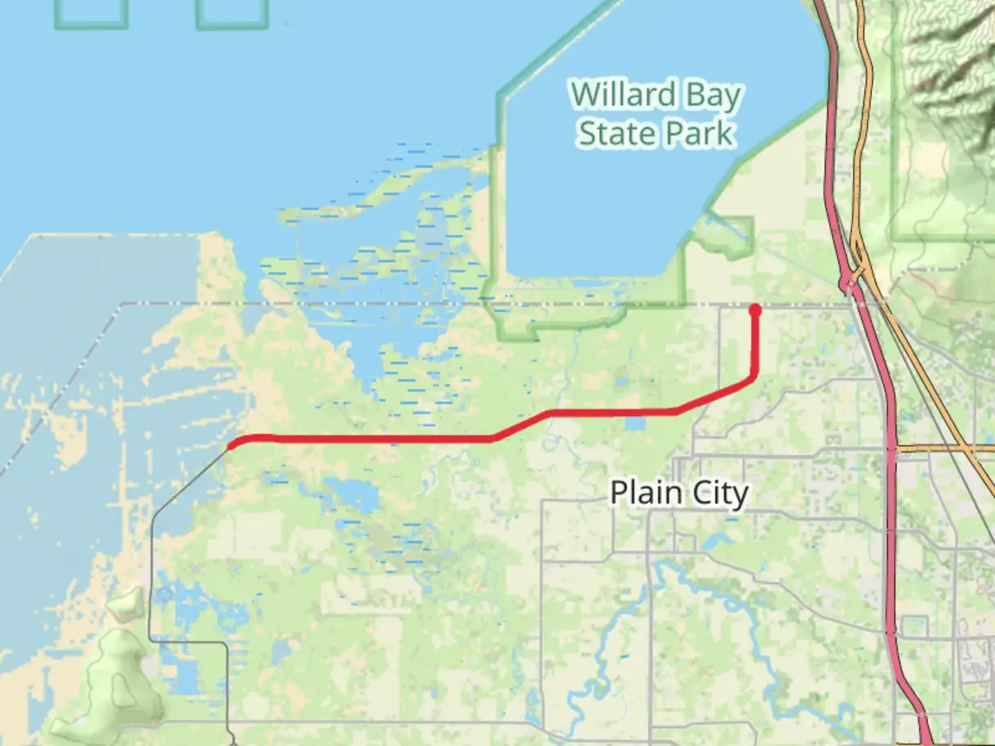
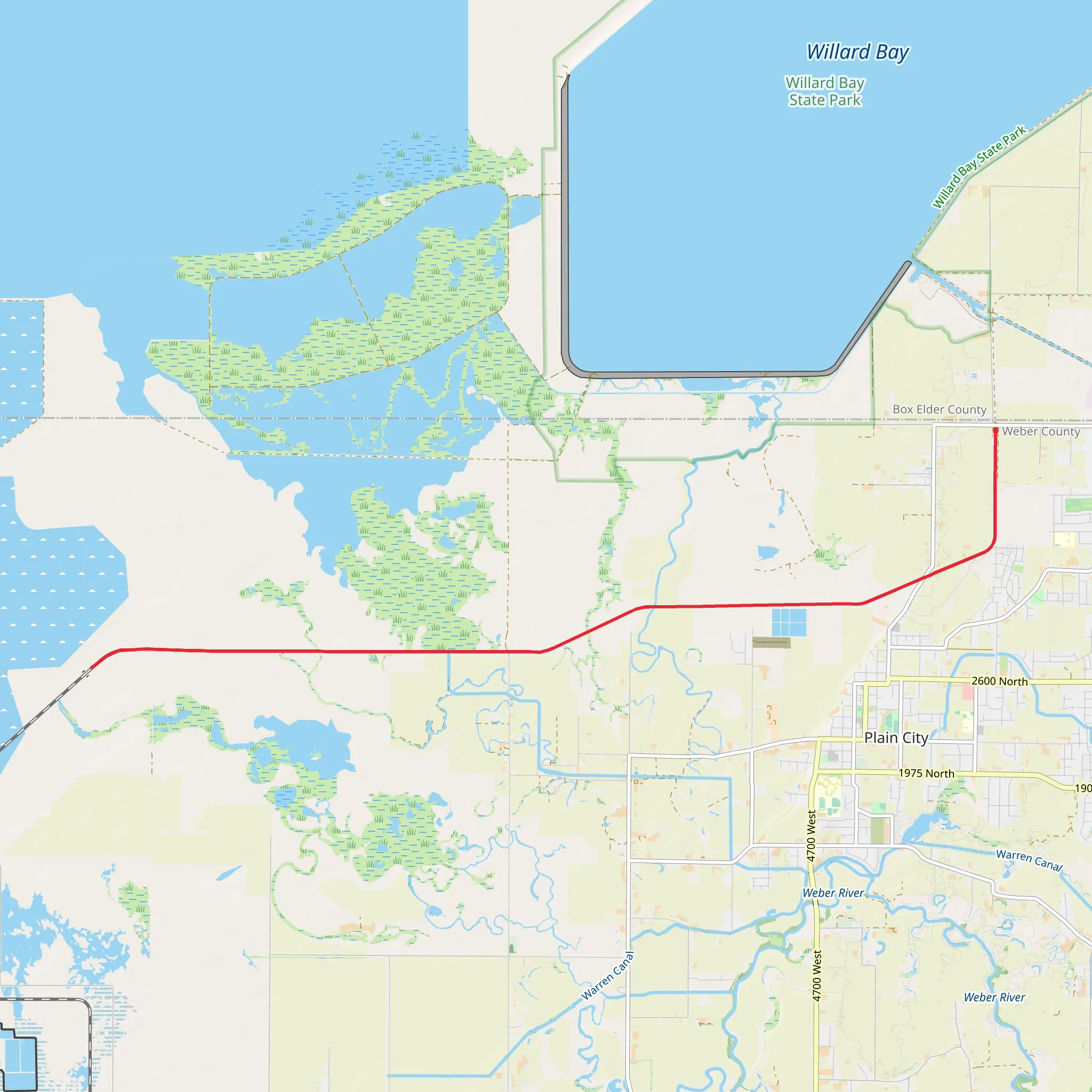
Starting near Weber County, Utah, the Weber Pathways Rail Trail stretches approximately 28 kilometers (17.4 miles) as an out-and-back trail with virtually no elevation gain, making it accessible for a wide range of hikers. This trail is estimated to be of medium difficulty, primarily due to its length rather than any challenging terrain.### Getting There To reach the trailhead, you can drive or use public transportation. If driving, head towards the nearest significant landmark, the Ogden Union Station, located at 2501 Wall Ave, Ogden, UT 84401. From there, it's a short drive to the trailhead. For those using public transport, the Utah Transit Authority (UTA) offers bus services that can get you close to the starting point. Check the UTA schedules for the most convenient routes.### Trail Overview The Weber Pathways Rail Trail follows an old railway corridor, providing a flat and straightforward path. The trail is well-maintained and marked, making navigation easy. For precise navigation, consider using the HiiKER app, which offers detailed maps and real-time updates.### Landmarks and Points of Interest - Mile 0-5 (0-8 km): Starting from the trailhead, the first few miles take you through suburban areas with occasional views of the Wasatch Mountains. This section is relatively quiet and offers a peaceful start to your hike. - Mile 5-10 (8-16 km): As you progress, you'll encounter the Ogden River Parkway, a beautiful stretch where the trail runs parallel to the river. This area is rich in birdlife, so keep an eye out for species like the American kestrel and the great blue heron. - Mile 10-14 (16-22.5 km): The trail then moves into more rural settings, passing through farmlands and open fields. This section is particularly scenic during the spring and fall when the landscape is vibrant with seasonal colors. - Mile 14-17.4 (22.5-28 km): The final stretch leads you towards the outskirts of the town of Plain City. Here, you'll find historical markers that provide insights into the region's past, including its significance during the early railroad days.### Nature and Wildlife The trail offers a diverse range of flora and fauna. In the spring and summer, wildflowers such as lupines and Indian paintbrushes are abundant. Wildlife sightings may include deer, rabbits, and various bird species. The flat terrain and open spaces make it an excellent spot for birdwatching.### Historical Significance The Weber Pathways Rail Trail is steeped in history. Originally a railway line, it played a crucial role in the development of the region. Historical markers along the trail provide information about the early settlers and the importance of the railway in connecting communities.### Preparation Tips Given the trail's length, it's essential to prepare adequately. Bring plenty of water, snacks, and sun protection, as there are limited shaded areas. Comfortable walking shoes are a must, and consider bringing a hat and sunglasses for additional protection from the sun. The trail is multi-use, so be mindful of cyclists and other hikers.### Accessibility The trail is accessible year-round, but the best times to hike are during the spring and fall when temperatures are moderate. Winter hikes are possible but can be chilly, so dress in layers. The flat terrain makes it suitable for families and those looking for a leisurely hike.Using the HiiKER app will ensure you stay on track and can access real-time information about the trail conditions. Enjoy your hike on the Weber Pathways Rail Trail, a journey through both natural beauty and historical significance.
What to expect?
Activity types
Comments and Reviews
User comments, reviews and discussions about the Weber Pathways Rail Trail, Utah.
4.6
average rating out of 5
15 rating(s)
