Download
Preview
Add to list
More
11.4 km
~3 hrs 29 min
727 m
Out and Back
“The Sardine Peak Trail offers stunning views, moderate challenges, and rich history, perfect for seasoned hikers.”
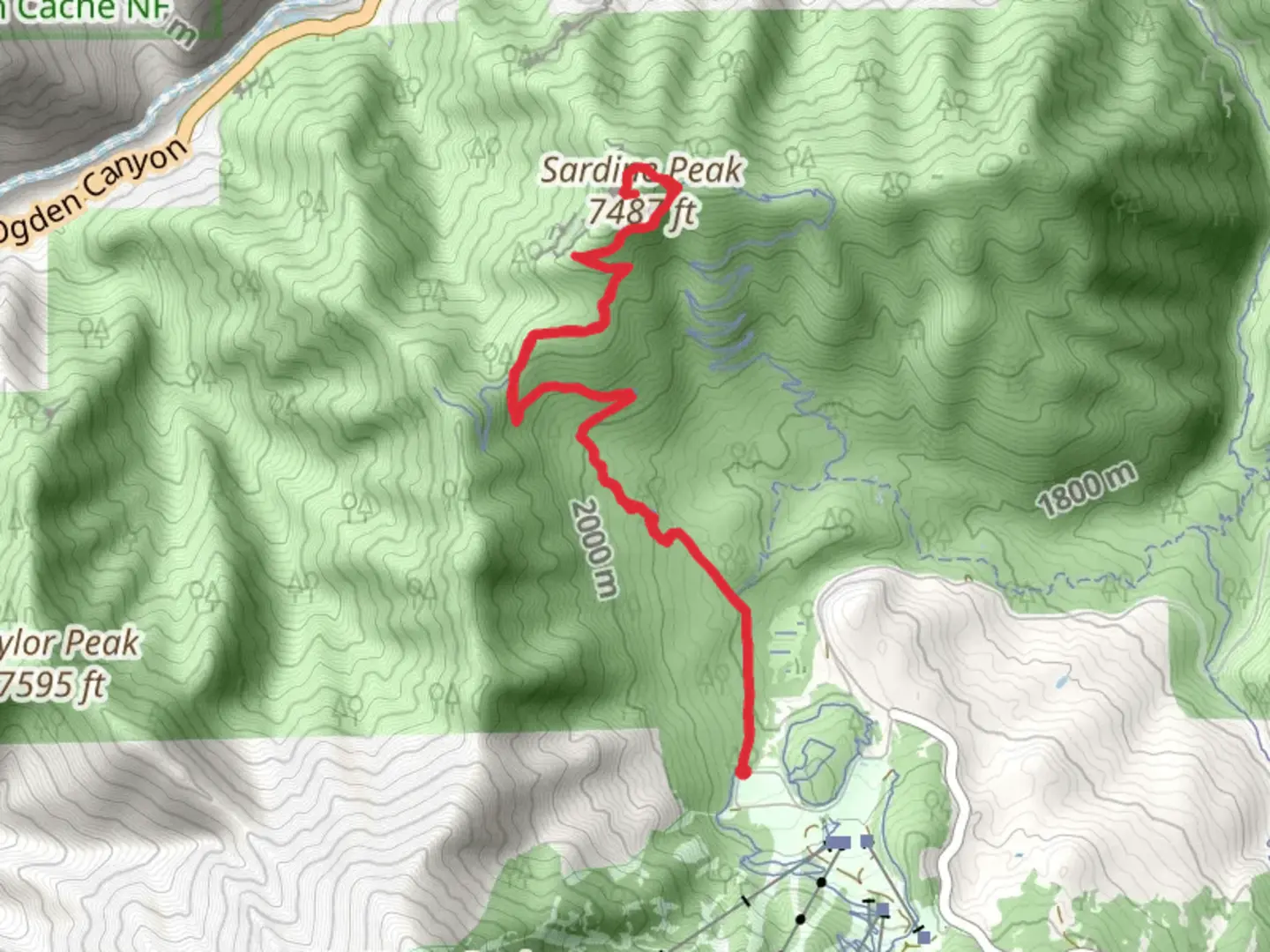
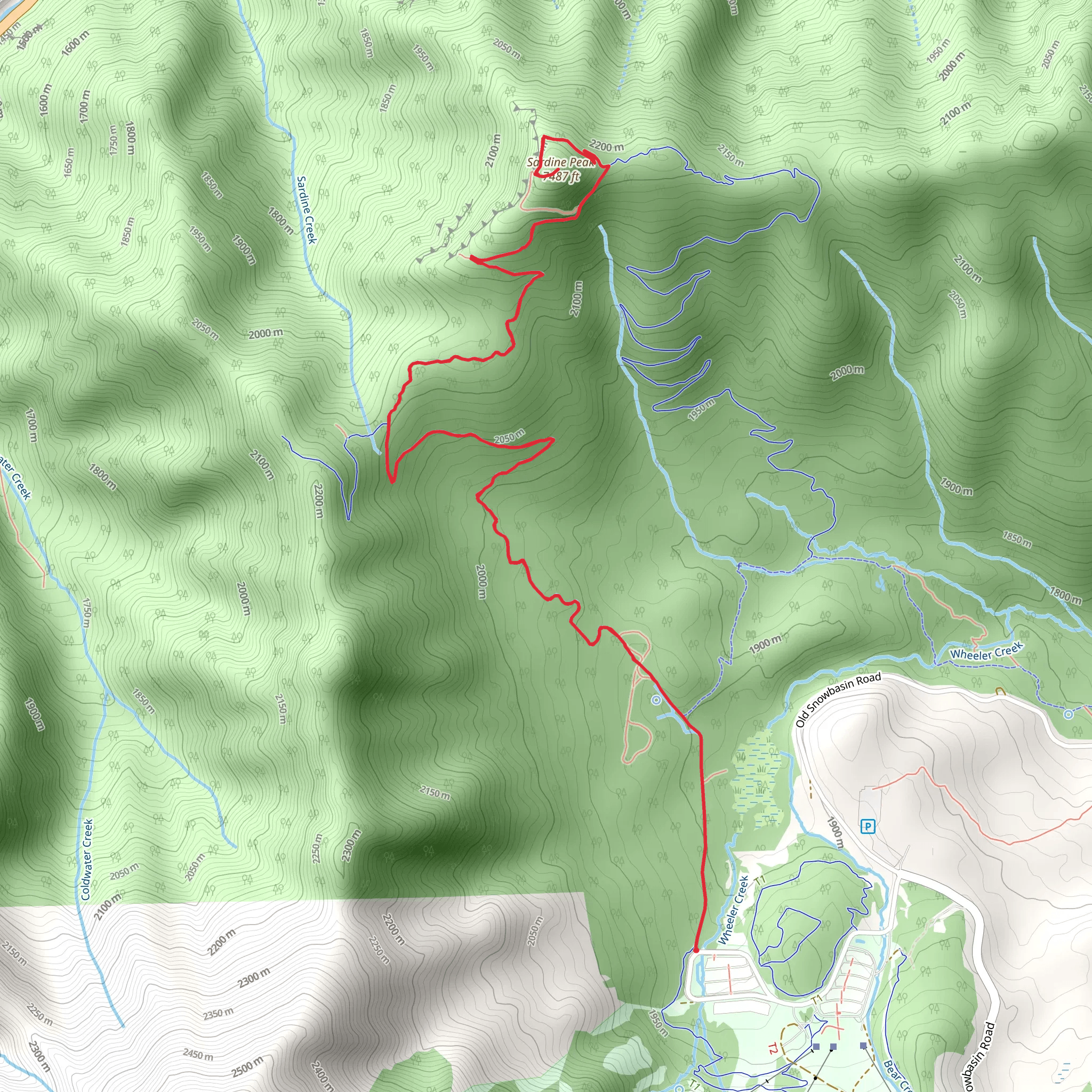
Starting near Weber County, Utah, the Sardine Peak Trail offers an invigorating out-and-back hike that spans approximately 11 kilometers (around 6.8 miles) with an elevation gain of about 700 meters (2,300 feet). This trail is rated as medium difficulty, making it suitable for moderately experienced hikers.
Getting There To reach the trailhead, you can drive or use public transportation. If driving, head towards the North Ogden Divide, a well-known landmark in the area. Parking is available near the divide, and from there, you can easily locate the trailhead. For those using public transport, the nearest bus stop is in North Ogden, from where you can take a short taxi ride to the trailhead.
Trail Overview The trail begins with a gradual ascent through a mixed forest of aspen and pine, providing ample shade and a cool environment, especially in the summer months. The first 2 kilometers (1.2 miles) are relatively gentle, gaining about 150 meters (500 feet) in elevation. This section is perfect for warming up your legs and getting into the rhythm of the hike.
Mid-Trail Highlights As you progress, the trail becomes steeper, with the next 3 kilometers (1.9 miles) gaining an additional 350 meters (1,150 feet) in elevation. This section offers stunning views of the Ogden Valley and Pineview Reservoir. Keep an eye out for wildlife such as mule deer and various bird species, including hawks and eagles.
At around the 5-kilometer (3.1-mile) mark, you'll reach a scenic overlook that provides panoramic views of the surrounding mountains and valleys. This is a great spot to take a break, hydrate, and enjoy the scenery.
Historical Significance The region around Sardine Peak has a rich history, with Native American tribes such as the Shoshone and Ute having inhabited the area for centuries. The trail itself was used by early settlers and miners in the 19th century, adding a layer of historical significance to your hike.
Final Ascent The final push to Sardine Peak involves a steeper climb, gaining the remaining 200 meters (650 feet) in elevation over the last 1.5 kilometers (0.9 miles). The trail narrows and becomes rockier, so watch your footing. Upon reaching the peak, you'll be rewarded with breathtaking 360-degree views, making the effort well worth it.
Navigation and Safety For navigation, it's highly recommended to use the HiiKER app, which provides detailed maps and real-time updates. The trail is well-marked, but having a reliable navigation tool ensures you stay on track.
Return Journey The return journey follows the same path, allowing you to enjoy the views from a different perspective. Descending can be tough on the knees, so take your time and use trekking poles if you have them.
Flora and Fauna Throughout the hike, you'll encounter a variety of plant life, including wildflowers in the spring and summer. The diverse ecosystem supports a range of wildlife, so keep your camera ready for unexpected encounters.
This trail offers a balanced mix of natural beauty, moderate challenge, and historical context, making it a rewarding experience for those who undertake it.
What to expect?
Activity types
Comments and Reviews
User comments, reviews and discussions about the Sardine Peak Trail, Utah.
4.63
average rating out of 5
19 rating(s)
