Download
Preview
Add to list
More
2.2 km
~34 min
87 m
Out and Back
“The Bonneville Shoreline Connector Trail offers a moderately challenging, scenic hike tracing Utah's ancient Lake Bonneville shoreline.”
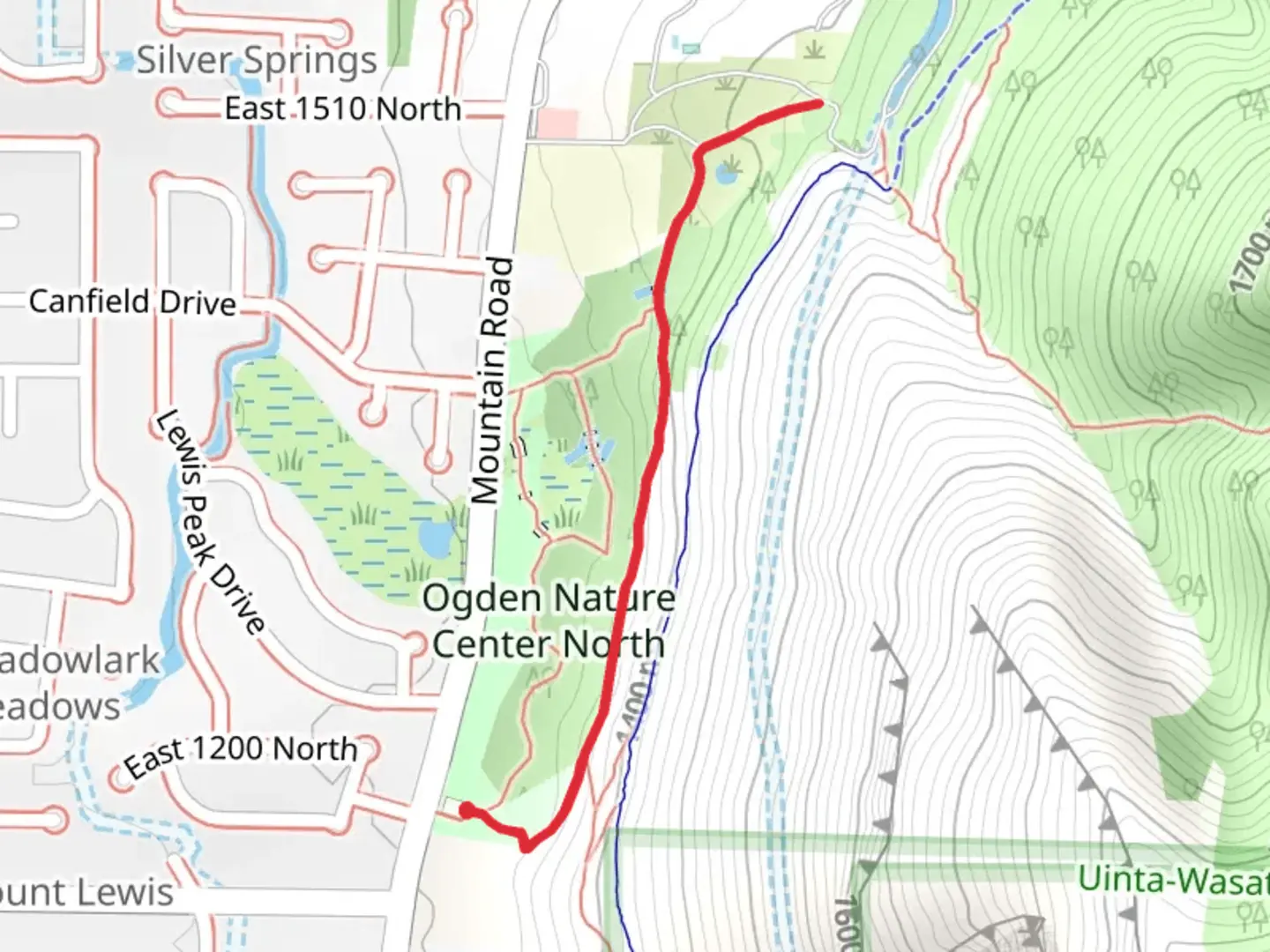
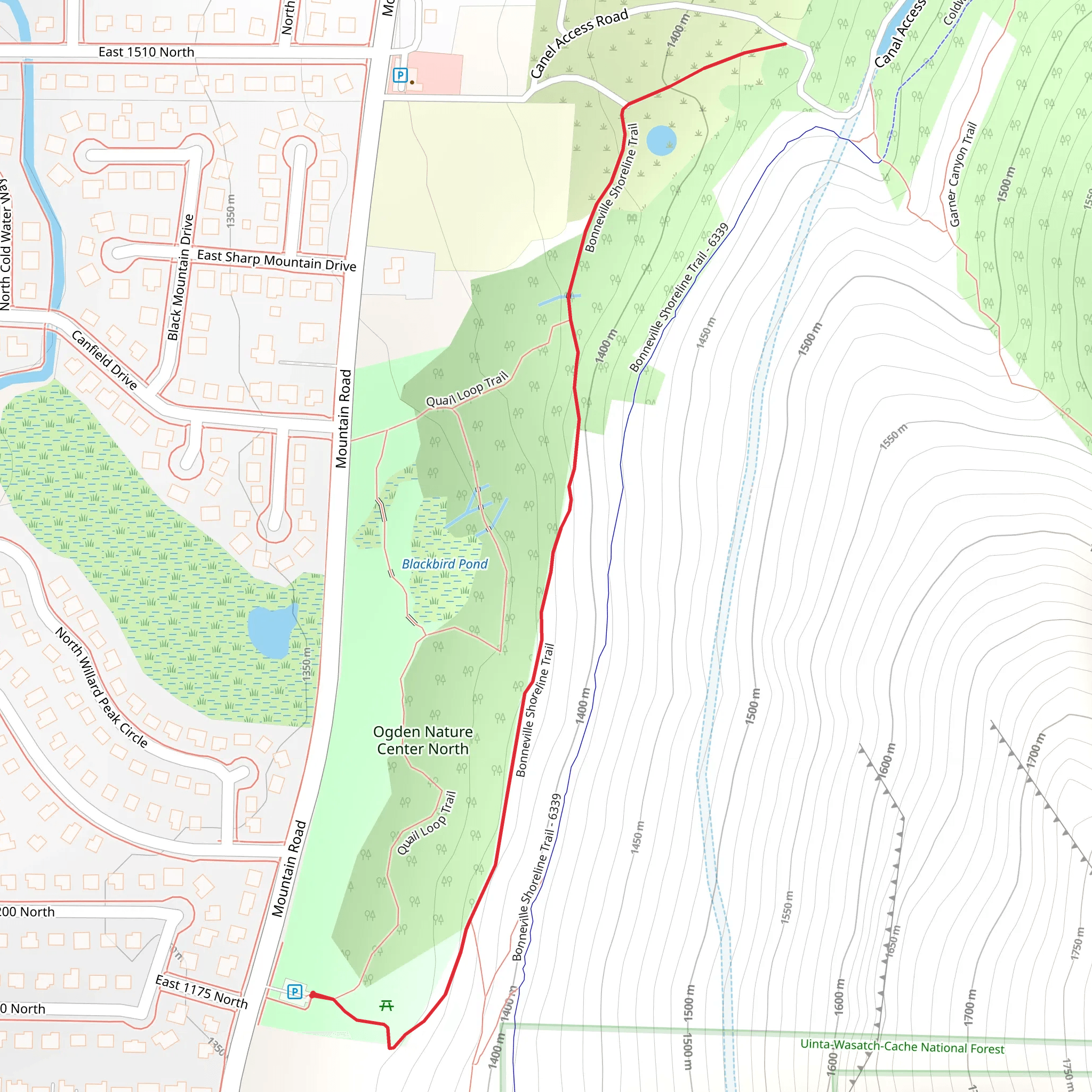
The Bonneville Shoreline Connector Trail, located near Weber County, Utah, offers a delightful 2 km (1.24 miles) out-and-back hiking experience with no significant elevation gain, making it accessible for a wide range of hikers. This trail is estimated to be of medium difficulty, providing a moderate challenge without being overly strenuous.### Getting ThereTo reach the trailhead, you can drive or use public transportation. If driving, head towards the nearest significant landmark, the Weber State University, located at 3848 Harrison Blvd, Ogden, UT 84408. From there, it's a short drive to the trailhead. For those using public transport, the Utah Transit Authority (UTA) offers bus services that stop near the university, making it a convenient starting point.### Trail NavigationFor navigation, it's highly recommended to use the HiiKER app, which provides detailed maps and real-time updates to ensure you stay on the correct path. The trail is well-marked, but having a reliable navigation tool can enhance your hiking experience.### Trail HighlightsAs you embark on the Bonneville Shoreline Connector Trail, you'll be walking along a path that traces the ancient shoreline of Lake Bonneville, a prehistoric lake that once covered much of Utah. This historical significance adds a unique dimension to your hike, as you can imagine the vast waters that once existed here.### Flora and FaunaThe trail is surrounded by a variety of native plants and wildlife. Depending on the season, you might encounter wildflowers such as Indian paintbrush and lupine. Keep an eye out for local wildlife, including mule deer, rabbits, and various bird species like hawks and songbirds. The trail's relatively flat terrain makes it an excellent spot for birdwatching.### Points of InterestApproximately 1 km (0.62 miles) into the hike, you'll come across a scenic overlook that provides stunning views of the Ogden Valley and the Wasatch Range. This is a great spot to take a break, enjoy a snack, and soak in the natural beauty of the area.### Trail ConditionsThe trail surface is primarily packed dirt, with some rocky sections. It's advisable to wear sturdy hiking shoes to navigate these areas comfortably. Since the trail is exposed, bringing sun protection such as a hat, sunscreen, and sunglasses is essential, especially during the summer months.### Safety and PreparednessWhile the trail is not particularly challenging, it's always wise to carry sufficient water, especially since there are no water sources along the route. A small first aid kit and a fully charged phone with the HiiKER app installed are also recommended for safety.### Historical ContextThe Bonneville Shoreline Connector Trail is part of the larger Bonneville Shoreline Trail system, which aims to create a continuous trail along the ancient shoreline of Lake Bonneville. This project not only preserves the natural beauty of the area but also provides a historical context that enriches the hiking experience.By following these guidelines and being well-prepared, you can fully enjoy the unique blend of natural beauty and historical significance that the Bonneville Shoreline Connector Trail has to offer.
What to expect?
Activity types
Comments and Reviews
User comments, reviews and discussions about the Bonneville Shoreline Connector Trail, Utah.
4.4
average rating out of 5
15 rating(s)
