Download
Preview
Add to list
More
15.2 km
~4 hrs 59 min
1181 m
Out and Back
“Embark on the Ben Lomond via Cutler Ridge Trail for 15 kilometers of scenic, challenging, and historic hiking adventure.”
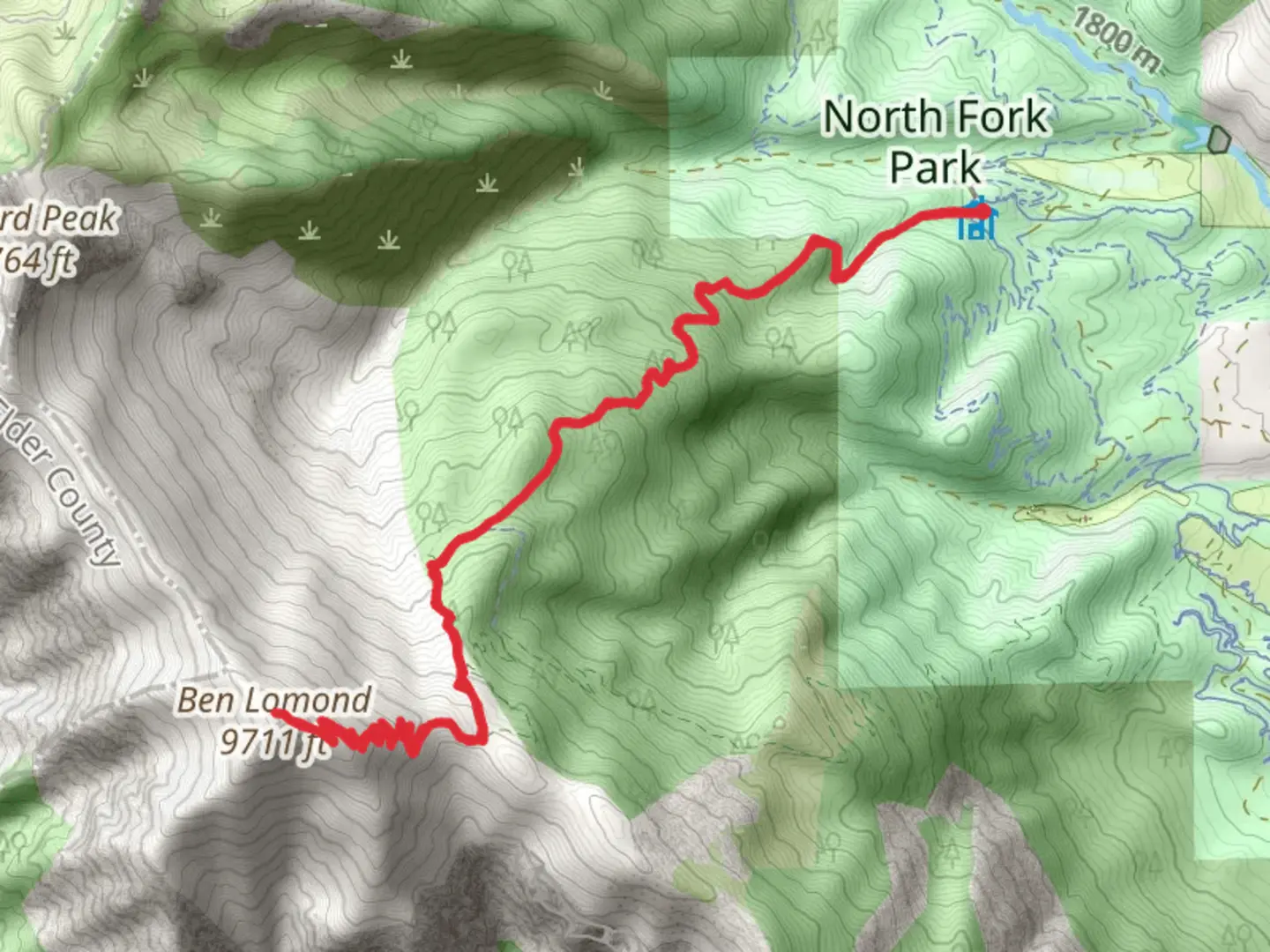
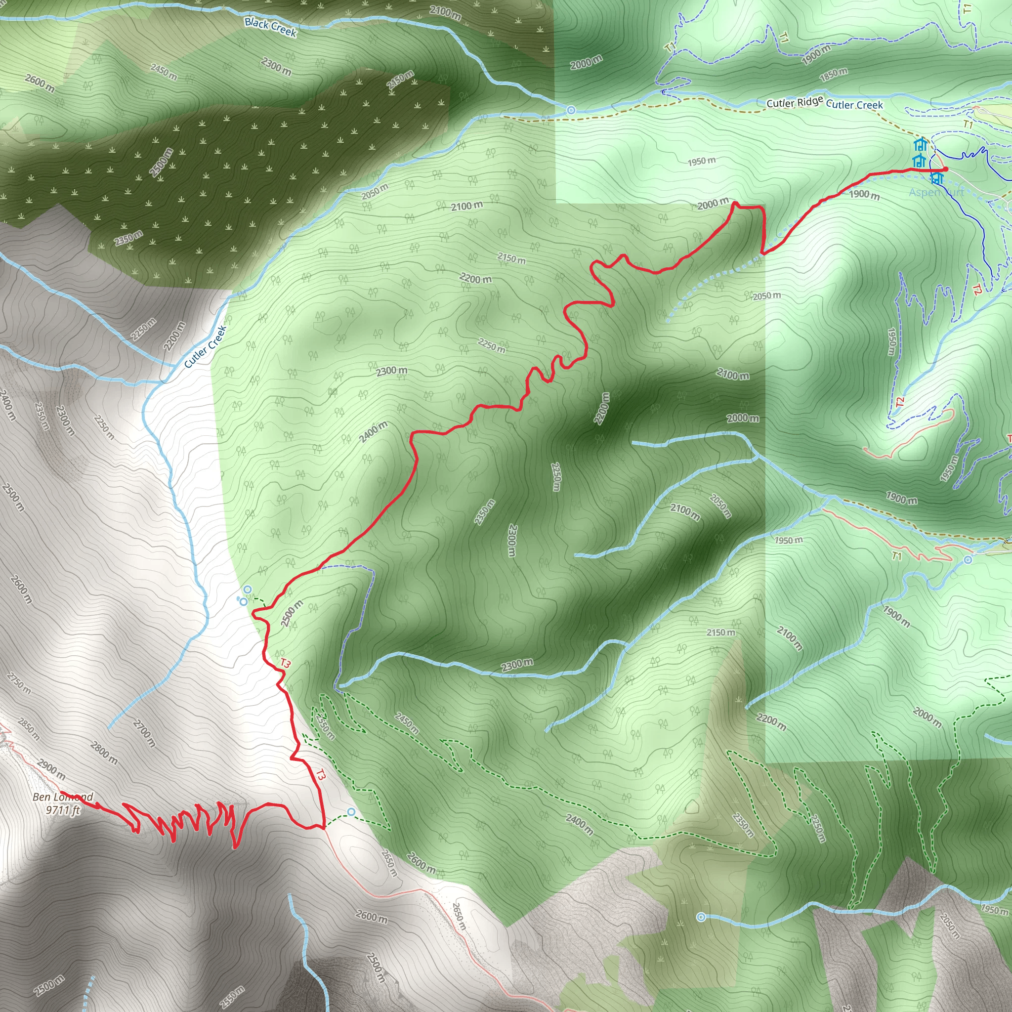
Starting your adventure near Weber County, Utah, the Ben Lomond via Cutler Ridge Trail offers a rewarding out-and-back hike that spans approximately 15 kilometers (9.3 miles) with an elevation gain of around 1100 meters (3608 feet). This trail is rated as medium difficulty, making it suitable for hikers with some experience and a good level of fitness.
Getting There To reach the trailhead, you can drive or use public transportation. If driving, head towards North Ogden, Utah. The nearest significant landmark is the North Ogden Divide, located at 2750 N Mountain Rd, North Ogden, UT 84414. From there, follow the signs to the Cutler Ridge Trailhead. For those using public transport, the closest bus stop is in North Ogden, from where you can take a taxi or rideshare to the trailhead.
Trail Overview The trail begins with a steady ascent through a mixed forest of aspen and pine, providing ample shade and a cool start to your hike. Early on, you'll encounter a series of switchbacks that help to manage the elevation gain. After about 3 kilometers (1.9 miles), you'll reach a clearing that offers your first panoramic views of the Ogden Valley and the Great Salt Lake in the distance.
Significant Landmarks and Points of Interest As you continue, the trail becomes steeper and rockier. Around the 5-kilometer (3.1-mile) mark, you'll come across a prominent rock formation known locally as "The Saddle." This is a great spot to take a break and enjoy the views. From here, the trail follows the ridgeline, offering stunning vistas on both sides.
Flora and Fauna The trail is rich in biodiversity. In the lower sections, you'll find wildflowers such as Indian paintbrush and lupine during the spring and summer months. Higher up, the vegetation becomes sparser, but you may spot mountain goats and mule deer. Birdwatchers should keep an eye out for golden eagles and red-tailed hawks soaring above.
Historical Significance Ben Lomond Peak holds historical significance as it is believed to have inspired the Paramount Pictures logo. The peak was named by Scottish settlers who thought it resembled Ben Lomond in Scotland. The trail itself has been used for centuries, first by Native American tribes and later by settlers and miners.
Final Ascent The final push to the summit is the most challenging part of the hike. The trail becomes narrow and steep, with loose rocks underfoot. Use caution and take your time. Upon reaching the summit, at an elevation of 2,963 meters (9,721 feet), you'll be rewarded with 360-degree views that are truly breathtaking. On a clear day, you can see as far as the Uinta Mountains to the east and the Great Salt Lake to the west.
Navigation Given the trail's complexity and the potential for sudden weather changes, it's advisable to use a reliable navigation tool like HiiKER to keep you on track. The app provides detailed maps and real-time updates, ensuring you stay on the correct path.
Return Journey The descent follows the same path back to the trailhead. While it's easier on the lungs, the steep sections can be tough on the knees, so trekking poles can be helpful. Make sure to leave no trace and pack out all your trash to preserve the natural beauty of the area.
This hike offers a mix of challenging terrain, stunning views, and rich history, making it a must-do for any avid hiker visiting Utah.
What to expect?
Activity types
Comments and Reviews
User comments, reviews and discussions about the Ben Lomond via Cutler Ridge Trail, Utah.
4.4
average rating out of 5
20 rating(s)
