Download
Preview
Add to list
More
7.1 km
~2 hrs 9 min
443 m
Out and Back
“Explore the Upper Grant's Ranch Trail for stunning views, diverse wildlife, and rich history on a moderate hike.”
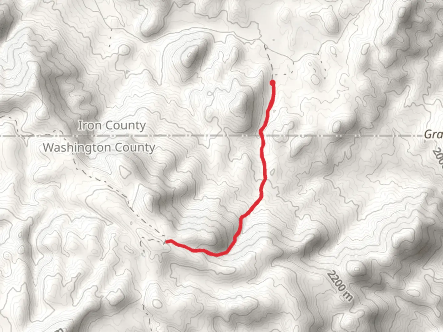
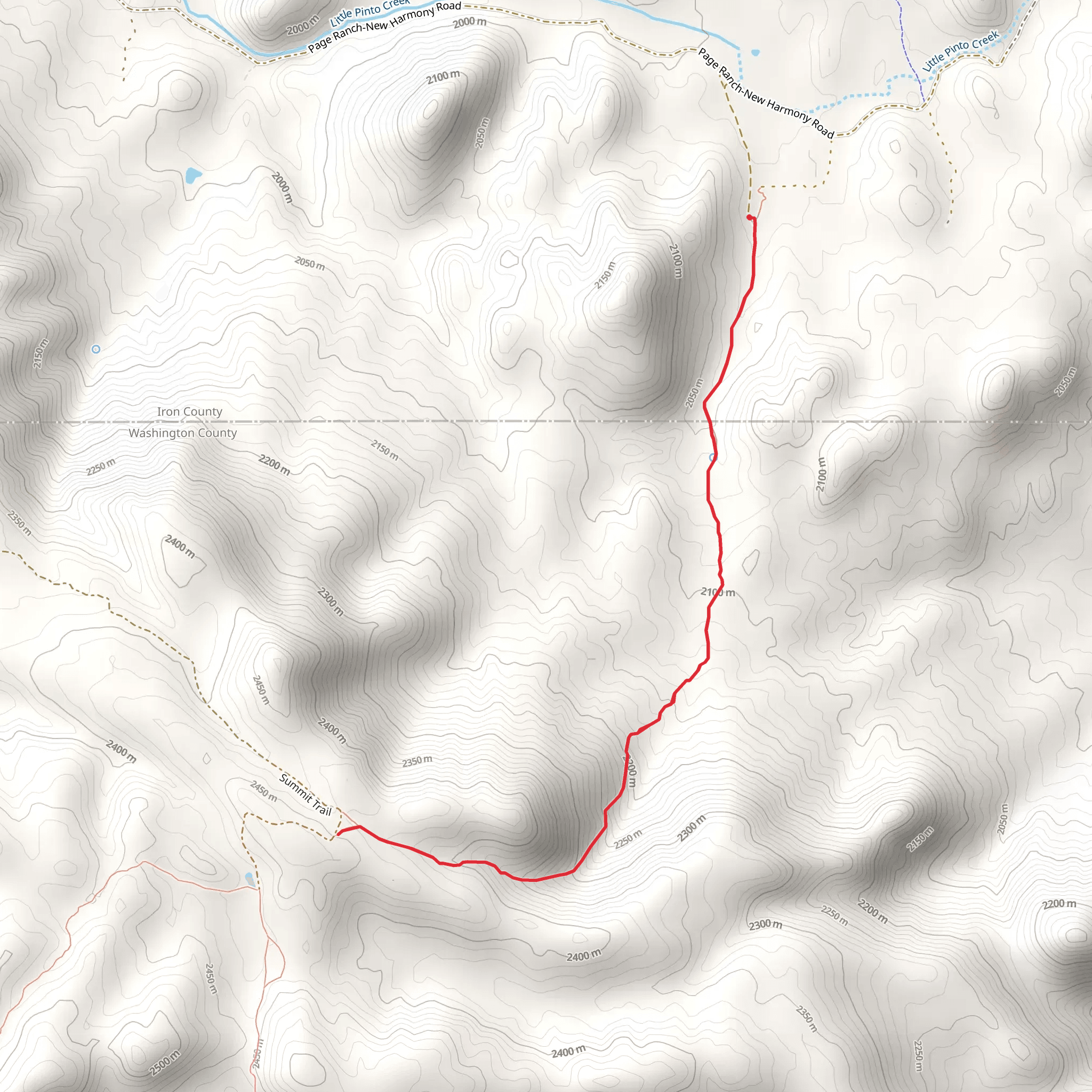
Starting near Washington County, Utah, the Upper Grant's Ranch Trail Out and Back is a captivating hike that spans approximately 7 kilometers (around 4.3 miles) with an elevation gain of about 400 meters (1,312 feet). This trail is rated as medium difficulty, making it suitable for moderately experienced hikers.
Getting There To reach the trailhead, you can drive or use public transport. If driving, head towards Washington County, Utah, and look for the nearest significant landmark, which is the Red Cliffs Desert Reserve. From there, follow local signage to the trailhead. For those using public transport, the nearest bus stop is in St. George, Utah. From St. George, you can take a taxi or rideshare service to the trailhead.
Trail Overview The trail begins with a gentle ascent, allowing you to warm up before the more challenging sections. As you progress, the path becomes steeper, with switchbacks that offer stunning views of the surrounding landscape. The initial 2 kilometers (1.2 miles) are relatively easy, with an elevation gain of about 100 meters (328 feet).
Significant Landmarks Around the 3-kilometer (1.9-mile) mark, you'll encounter a striking rock formation known locally as "The Sentinel." This natural landmark is a great spot for a short break and some photos. Continuing on, the trail meanders through a series of small canyons, each offering unique geological features and a variety of plant life.
Flora and Fauna The area is rich in biodiversity. Keep an eye out for native plants like the Utah juniper and sagebrush. Wildlife is abundant, with chances to spot mule deer, jackrabbits, and various bird species such as the red-tailed hawk and the western scrub-jay.
Historical Significance This region holds historical significance as it was once traversed by early Native American tribes and later by pioneers during the westward expansion. Artifacts and remnants of old settlements can occasionally be found off the main trail, though it's important to leave these undisturbed.
Navigation and Safety Given the moderate difficulty of the trail, it's advisable to use a reliable navigation tool like HiiKER to keep track of your progress and ensure you stay on the correct path. The trail is well-marked, but having a digital map can be invaluable, especially in the more remote sections.
Final Stretch The final 2 kilometers (1.2 miles) involve a steeper climb, with an elevation gain of about 200 meters (656 feet). This section can be challenging, but the panoramic views from the top are well worth the effort. Once you reach the turnaround point, take some time to enjoy the scenery before heading back the way you came.
Preparation Tips Ensure you bring plenty of water, especially during the hotter months, as the trail offers limited shade. Sturdy hiking boots are recommended due to the rocky terrain. Always check the weather forecast before heading out and be prepared for sudden changes in conditions.
This trail offers a rewarding experience with its mix of natural beauty, wildlife, and historical context, making it a must-visit for any hiking enthusiast in the area.
What to expect?
Activity types
Comments and Reviews
User comments, reviews and discussions about the Upper Grant's Ranch Trail Out and Back, Utah.
4.85
average rating out of 5
13 rating(s)
