Download
Preview
Add to list
More
9.0 km
~1 hrs 53 min
57 m
Out and Back
“Explore the serene Santa Clara River Trail with its rich history, diverse wildlife, and scenic vistas.”
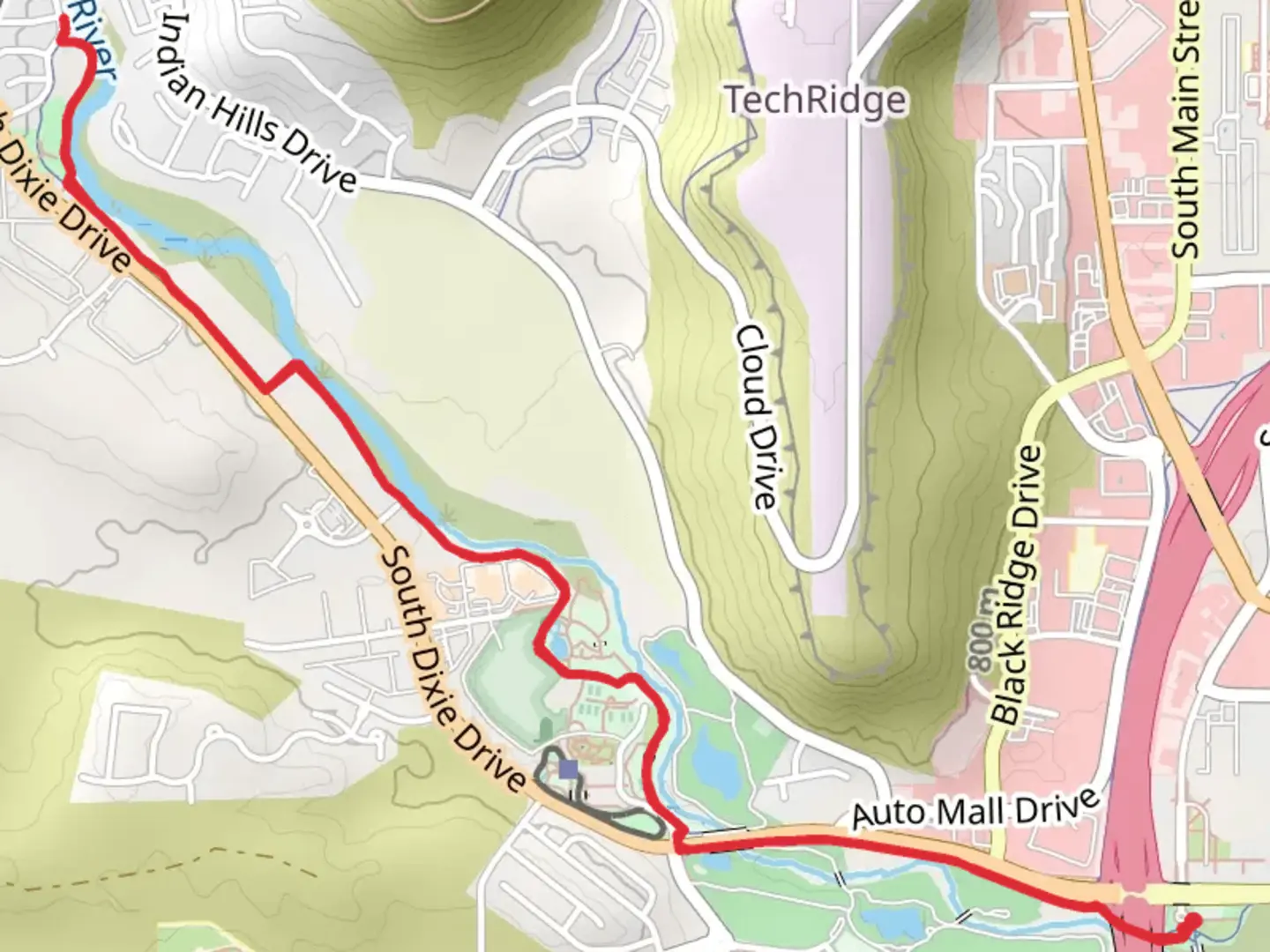
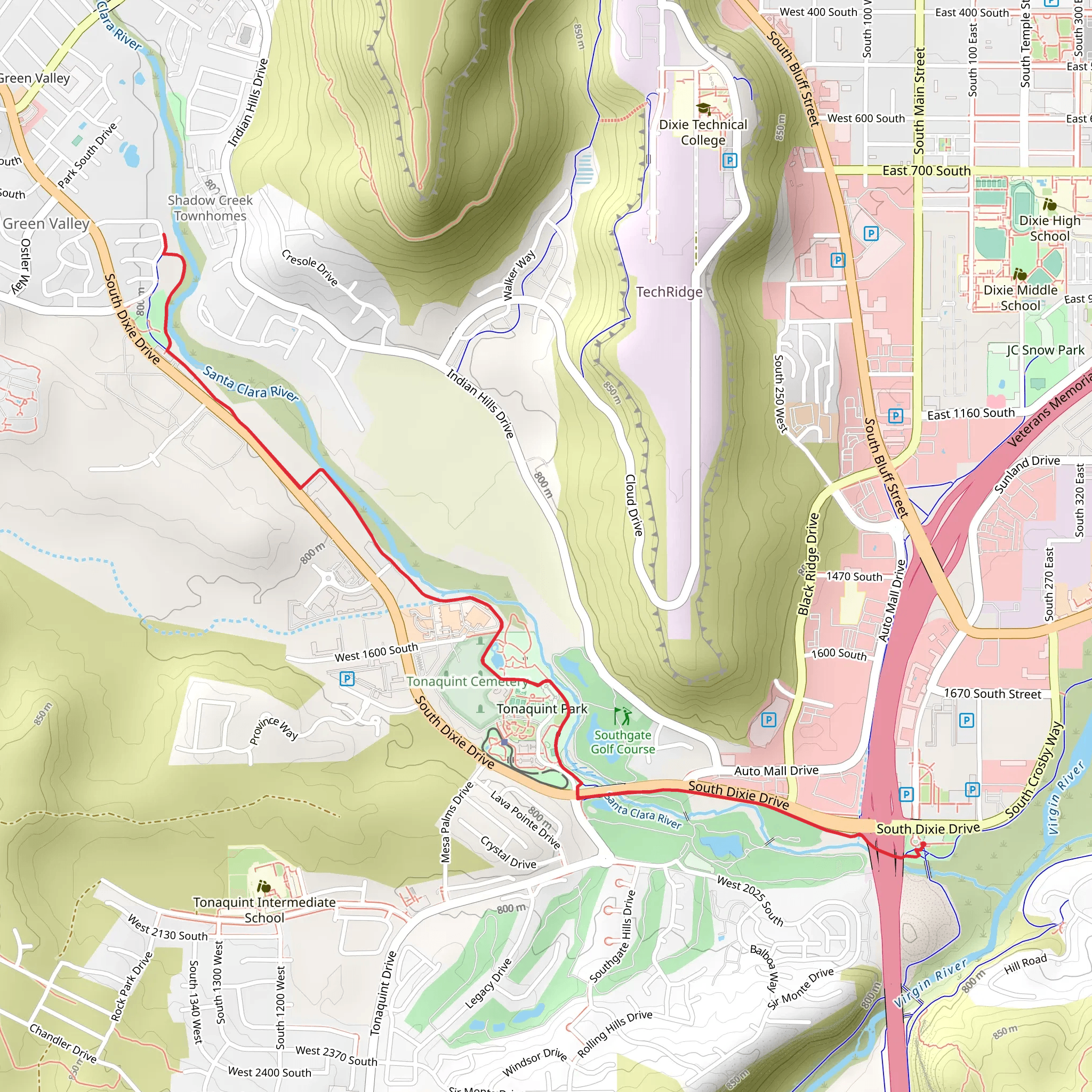
Starting near Washington County, Utah, the Santa Clara River Trail is an out-and-back trail that spans approximately 9 kilometers (around 5.6 miles) with no significant elevation gain, making it a relatively flat hike. This trail is rated as medium difficulty, suitable for hikers with some experience.
Getting There To reach the trailhead, you can drive or use public transportation. If driving, head towards the city of St. George, Utah, and follow signs to Washington County. The nearest significant landmark is the Red Cliffs Desert Reserve. For those using public transport, the SunTran bus service in St. George can get you close to the trailhead, but you may need to arrange a taxi or rideshare for the final leg of the journey.
Trail Overview The Santa Clara River Trail offers a unique blend of natural beauty and historical significance. As you begin your hike, you'll find yourself walking alongside the Santa Clara River, which provides a serene backdrop with its flowing waters and lush riparian vegetation. The trail is well-marked and maintained, making navigation straightforward. For precise navigation, consider using the HiiKER app to stay on track.
Landmarks and Points of Interest - **0.5 km (0.3 miles):** Shortly after starting, you'll encounter a small wooden bridge that crosses a tributary of the Santa Clara River. This is a great spot for a quick photo or a short rest. - **2 km (1.2 miles):** As you continue, you'll come across a series of interpretive signs that provide information about the local flora and fauna. Keep an eye out for native species such as the Gambel oak and the desert cottontail rabbit. - **3 km (1.9 miles):** The trail passes through a section of the Red Cliffs Desert Reserve, an area known for its stunning red rock formations and diverse wildlife. This is a prime location for birdwatching, with species like the peregrine falcon and the western bluebird frequently spotted. - **4.5 km (2.8 miles):** At the halfway point, you'll reach a scenic overlook that offers panoramic views of the surrounding desert landscape. This is an ideal spot for a picnic or a longer rest before heading back.
Historical Significance The Santa Clara River area has a rich history, with evidence of Native American habitation dating back thousands of years. The Ancestral Puebloans, also known as the Anasazi, once lived in this region, and you may notice petroglyphs and other archaeological remnants along the trail. Additionally, the river played a crucial role in the early settlement of the area by Mormon pioneers in the mid-19th century.
Wildlife and Nature The trail is home to a variety of wildlife, including mule deer, coyotes, and numerous bird species. The river itself supports a healthy population of fish, making it a popular spot for local anglers. The vegetation along the trail is typical of the Mojave Desert, with species such as creosote bush, yucca, and various cacti.
Preparation and Safety Given the trail's medium difficulty rating, it's important to come prepared. Wear sturdy hiking boots, bring plenty of water, and consider sun protection such as hats and sunscreen, especially during the hotter months. The trail is exposed with limited shade, so plan your hike for early morning or late afternoon to avoid the midday heat.
Using the HiiKER app can help you stay on course and provide additional information about the trail as you hike. Always check the weather forecast before heading out and let someone know your plans for added safety.
What to expect?
Activity types
Comments and Reviews
User comments, reviews and discussions about the Santa Clara River Trail, Utah.
4.45
average rating out of 5
22 rating(s)
