Download
Preview
Add to list
More
17.2 km
~1 day 1 hrs
1542 m
Out and Back
“Embark on the Spanish Fork Peak hike for breathtaking views, rich history, and invigorating challenges.”
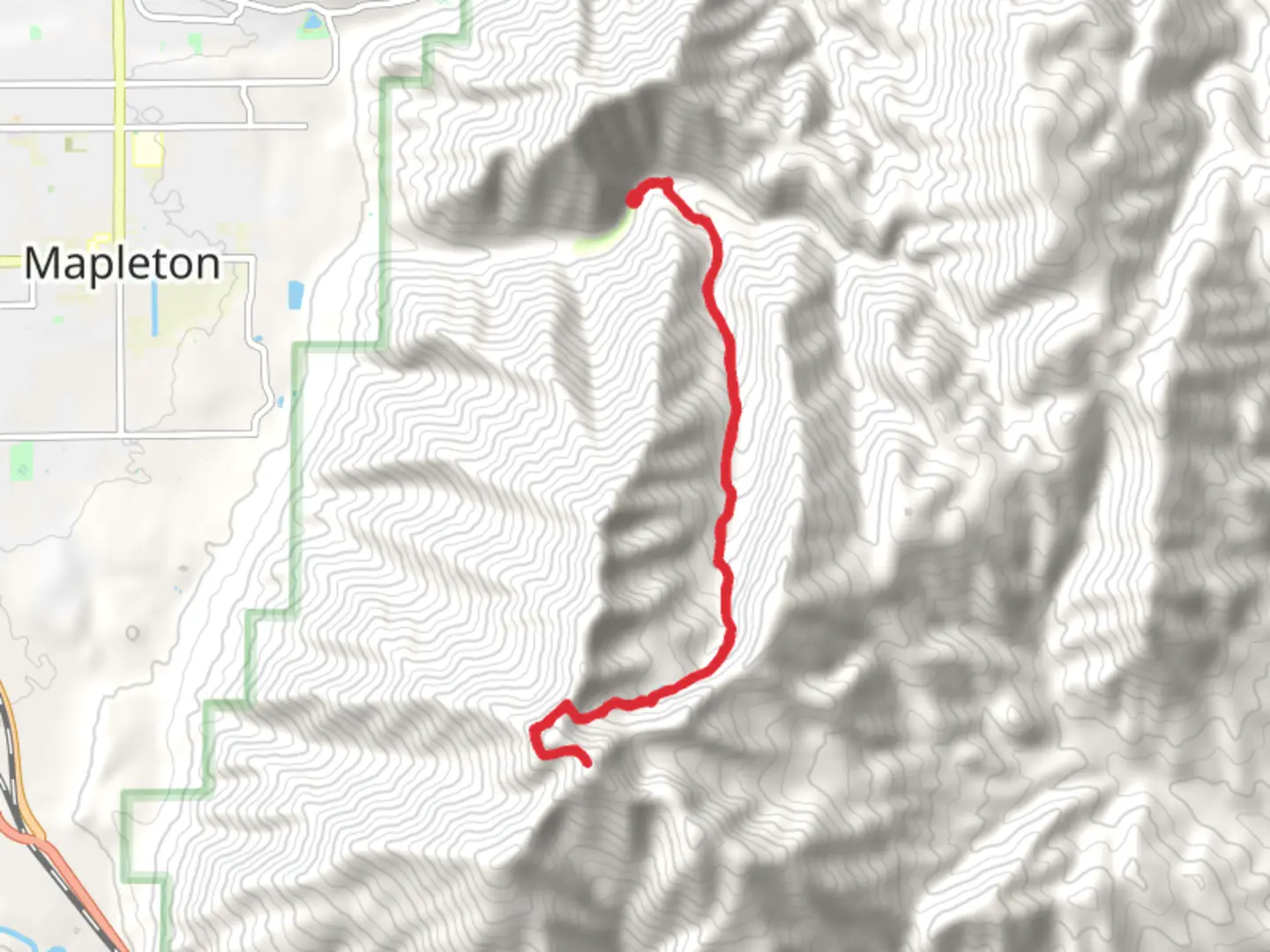
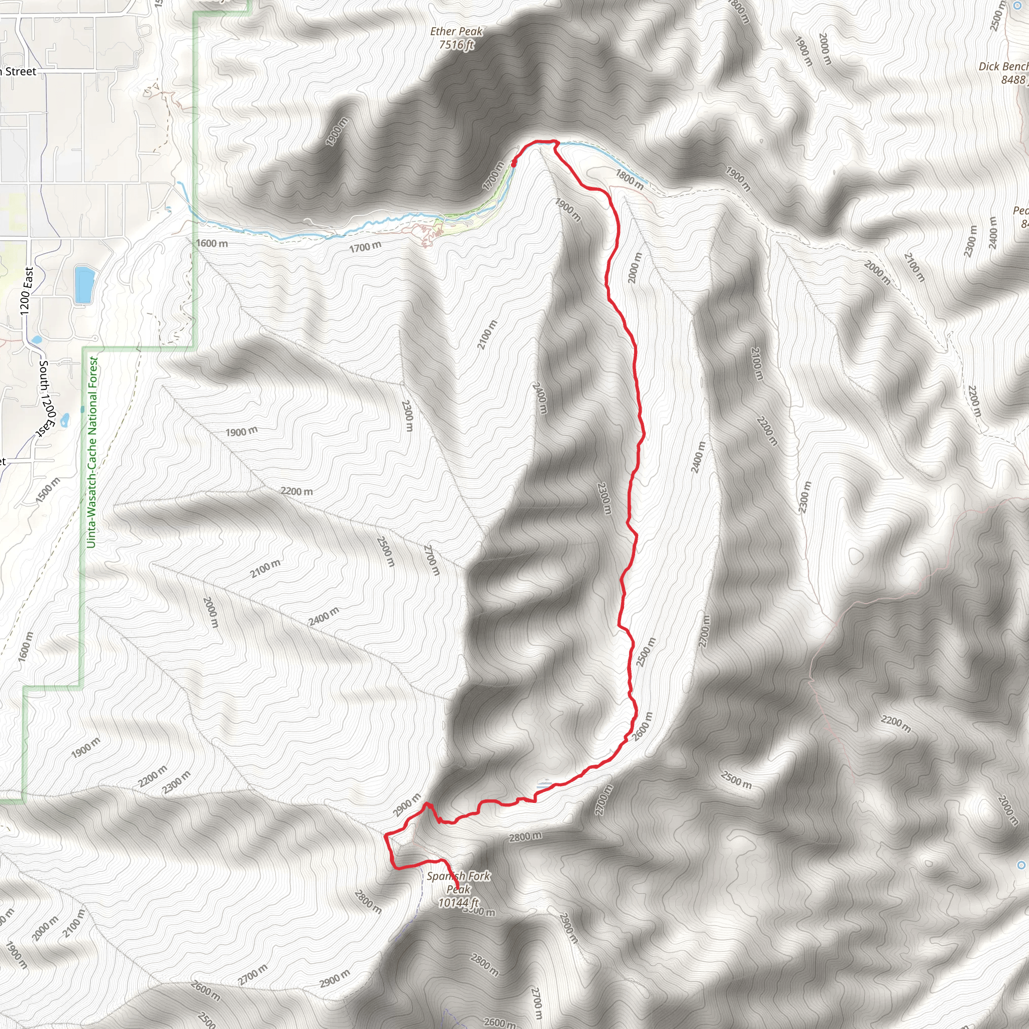
Starting your journey near Utah County, Utah, the Spanish Fork Peak via Right Fork Maple Canyon Trail is an invigorating out-and-back hike that spans approximately 17 kilometers (10.5 miles) with an elevation gain of around 1500 meters (4921 feet). This trail is rated as medium difficulty, making it suitable for hikers with some experience and a good level of fitness.
Getting There To reach the trailhead, you can drive or use public transport. If driving, head towards the Maple Canyon Trailhead, which is accessible via the Nebo Loop Road. For those relying on public transport, the nearest significant landmark is the Spanish Fork City Park. From there, you may need to arrange a taxi or rideshare service to reach the trailhead, as public transport options are limited in this rural area.
Trail Overview The trail begins with a steady ascent through a dense forest of maple and oak trees. Early on, you'll cross several small streams, so waterproof boots are advisable. The first 3 kilometers (1.9 miles) involve a moderate climb, gaining about 300 meters (984 feet) in elevation. This section is shaded and offers a cool respite during the warmer months.
Mid-Trail Landmarks As you continue, the trail opens up to a series of meadows filled with wildflowers in the spring and summer. Around the 5-kilometer (3.1-mile) mark, you'll encounter a significant landmark: a large rock formation known locally as "The Sentinel." This is a great spot for a short break and some photos.
Wildlife and Nature The trail is home to a variety of wildlife, including deer, elk, and occasionally black bears. Birdwatchers will also find plenty to enjoy, with species like the Mountain Bluebird and Red-tailed Hawk frequently spotted. Keep an eye out for smaller critters like chipmunks and squirrels as well.
Final Ascent The last 4 kilometers (2.5 miles) to the peak are the most challenging, with a steep incline that gains approximately 700 meters (2297 feet) in elevation. This section is more exposed, so sun protection is essential. The trail becomes rockier and less defined, so using a navigation tool like HiiKER is highly recommended to stay on track.
Historical Significance The region around Spanish Fork Peak has a rich history. It was originally inhabited by the Ute Native American tribe, and later became a significant area for early Mormon settlers in the 19th century. The trail itself follows some of the old routes used by these early inhabitants, adding a layer of historical intrigue to your hike.
Reaching the Summit Upon reaching the summit, you'll be rewarded with panoramic views of Utah Valley, Mount Nebo, and the surrounding Wasatch Range. On a clear day, you can even see the Great Salt Lake in the distance. The peak offers a perfect spot for a well-deserved rest and some breathtaking photography.
Descent The return journey follows the same path, allowing you to revisit the beautiful landscapes and perhaps notice details you missed on the way up. Be cautious on the descent, as the steep sections can be tricky, especially if the trail is wet or icy.
This trail offers a mix of natural beauty, challenging terrain, and historical significance, making it a rewarding experience for those who undertake it.
What to expect?
Activity types
Comments and Reviews
User comments, reviews and discussions about the Spanish Fork Peak via Right Fork Maple Canyon Trail, Utah.
4.58
average rating out of 5
12 rating(s)
