Download
Preview
Add to list
More
18.7 km
~1 day 2 hrs
2135 m
Out and Back
“Provo Peak via Slide Canyon Trail is a challenging 19 km hike with stunning views and rich history.”
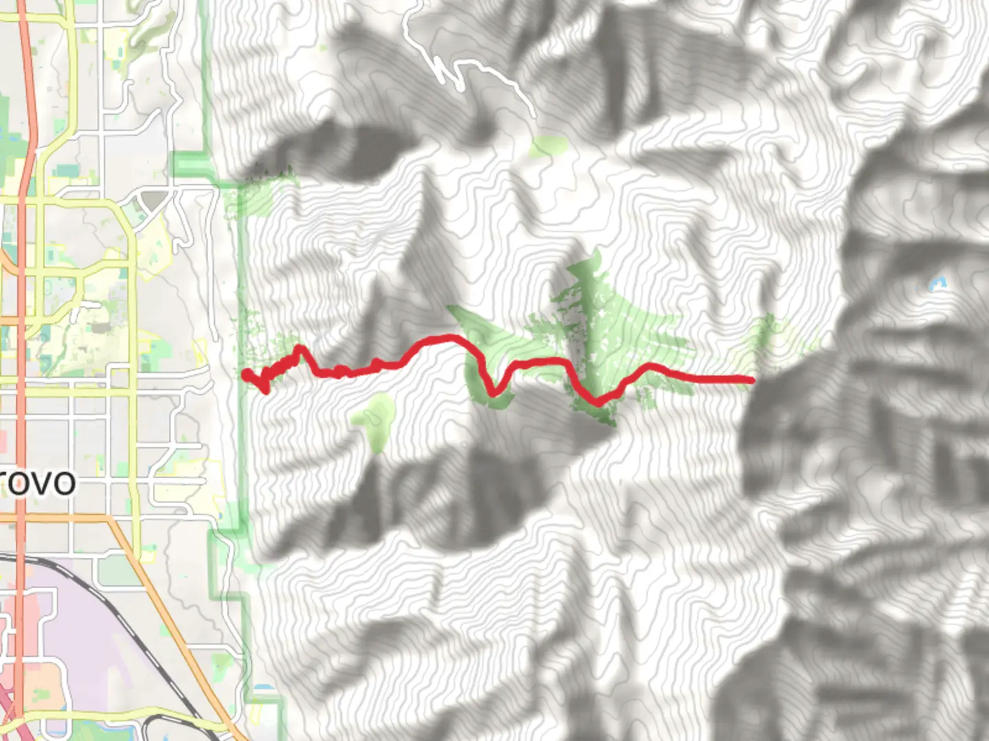
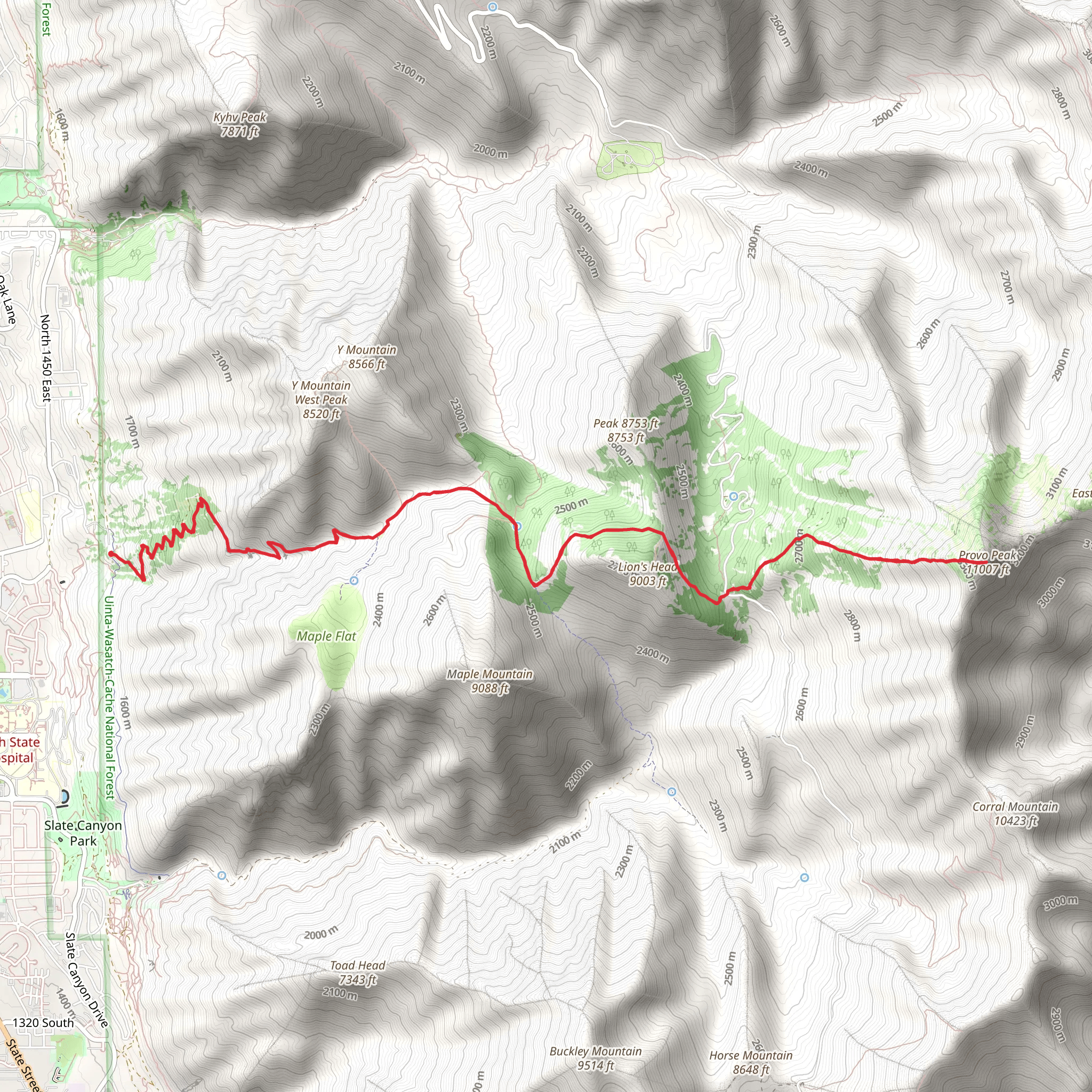
Starting near Utah County, Utah, the Provo Peak via Slide Canyon Trail is an invigorating out-and-back hike that spans approximately 19 kilometers (around 12 miles) with an elevation gain of about 2100 meters (approximately 6890 feet). This trail is rated as medium difficulty, making it suitable for hikers with some experience and a good level of fitness.
Getting There To reach the trailhead, you can drive or use public transportation. If driving, head towards the Rock Canyon Trailhead, which is located near the Rock Canyon Campground. For those using public transport, the nearest significant landmark is Brigham Young University (BYU) in Provo, Utah. From BYU, you can take a local bus or a short taxi ride to the Rock Canyon Trailhead.
Trail Overview The trail begins at the Rock Canyon Trailhead, where you will find ample parking and basic amenities. The initial part of the hike takes you through Rock Canyon, a popular spot for rock climbing and bouldering. The canyon walls are adorned with fascinating geological formations, and you might spot climbers scaling the rugged cliffs.
Slide Canyon As you progress, you will enter Slide Canyon. This section is characterized by a steady ascent through dense forests of aspen and pine. The trail here is well-marked but can be steep in places, so trekking poles might be useful. Keep an eye out for wildlife such as deer, elk, and various bird species that inhabit the area.
Midway Point Around the halfway mark, approximately 9.5 kilometers (about 6 miles) in, you will reach a meadow that offers a perfect spot for a rest. This meadow provides stunning views of the surrounding peaks and valleys. It's a great place to refuel and take in the natural beauty before tackling the more challenging sections ahead.
Final Ascent The final ascent to Provo Peak is the most strenuous part of the hike. The trail becomes steeper and rockier as you approach the summit. The elevation gain in this section is significant, so take your time and pace yourself. The summit of Provo Peak stands at an impressive 3,353 meters (11,000 feet) and offers panoramic views of Utah Valley, Mount Timpanogos, and the Wasatch Range.
Historical Significance Provo Peak and the surrounding area hold historical significance for the indigenous Ute people, who have lived in the region for centuries. The peak itself is named after the city of Provo, which was founded by Mormon settlers in the mid-19th century. The trail and the peak offer a glimpse into the natural and cultural history of the region.
Navigation and Safety Given the elevation and the potential for rapidly changing weather conditions, it's crucial to be well-prepared. Use the HiiKER app for accurate navigation and real-time updates on trail conditions. Ensure you have adequate water, snacks, and layers of clothing to adapt to varying temperatures.
Return Journey The return journey follows the same path back to the Rock Canyon Trailhead. Descending can be tough on the knees, so take it slow and use trekking poles if needed. The entire hike can take anywhere from 8 to 12 hours, depending on your pace and the time spent at the summit.
This trail offers a rewarding challenge with breathtaking views and a rich tapestry of natural and cultural history. Whether you're a seasoned hiker or looking to push your limits, the Provo Peak via Slide Canyon Trail is a must-experience adventure.
What to expect?
Activity types
Comments and Reviews
User comments, reviews and discussions about the Provo Peak via Slide Canyon Trail, Utah.
4.48
average rating out of 5
23 rating(s)
