Download
Preview
Add to list
More
11.3 km
~3 hrs 32 min
760 m
Out and Back
“Embark on the Juniper Hill Trail for scenic views, historical landmarks, and a rewarding 11 km adventure.”
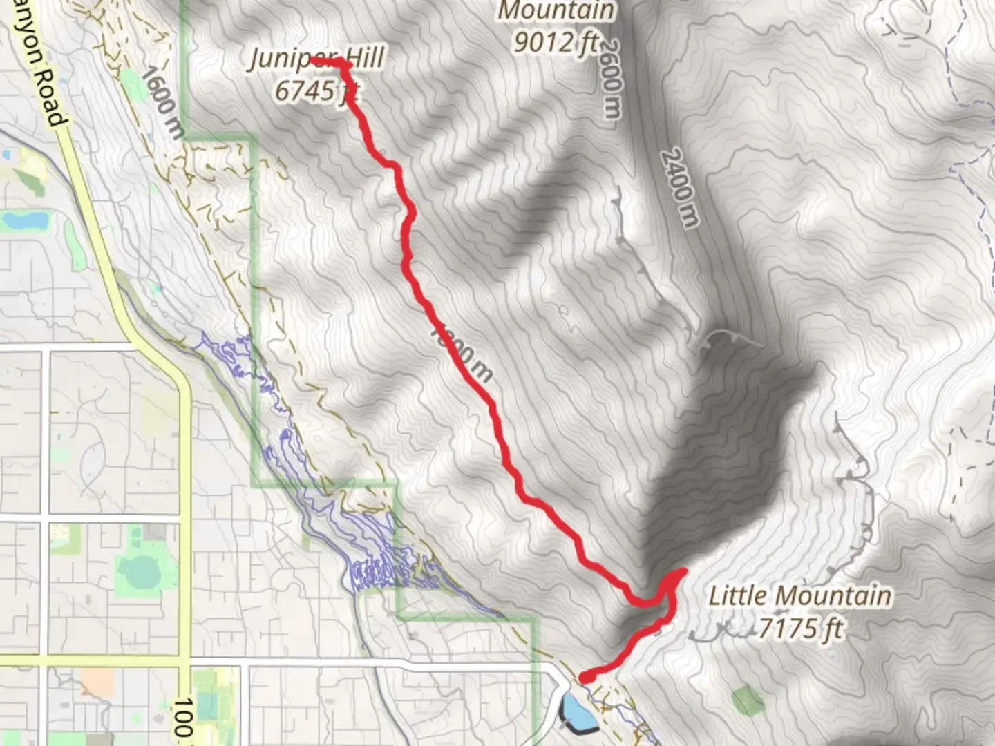
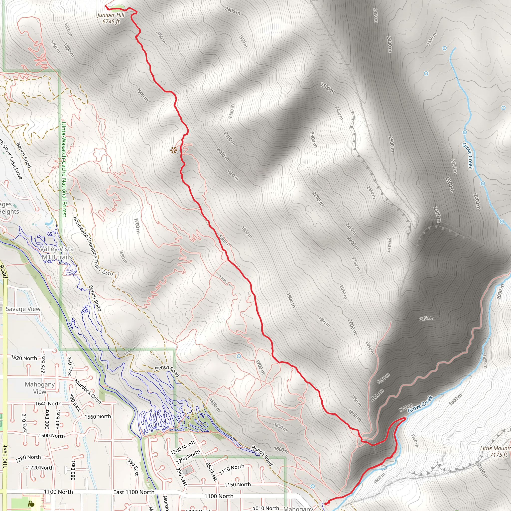
Starting near Utah County, Utah, the Juniper Hill via Mahogany Bench Trail is an 11 km (approximately 6.8 miles) out-and-back hike with an elevation gain of around 700 meters (2,297 feet). This medium-difficulty trail offers a rewarding experience for those looking to immerse themselves in the natural beauty and historical richness of the region.
Getting There To reach the trailhead, you can drive or use public transport. If driving, head towards the nearest significant landmark, the Timpanogos Cave National Monument Visitor Center. From there, it's a short drive to the trailhead. For those using public transport, the Utah Transit Authority (UTA) offers bus services that can get you close to the starting point. Check the UTA schedule for the nearest stop to the Timpanogos Cave National Monument Visitor Center and plan accordingly.
Trail Overview The trail begins with a gentle ascent through a mixed forest of juniper and mahogany trees. Early on, you'll notice the rich biodiversity, including various bird species and small mammals. The first 2 km (1.2 miles) are relatively easy, with an elevation gain of about 150 meters (492 feet), making it a good warm-up for the more challenging sections ahead.
Mid-Trail Highlights As you progress, the trail becomes steeper and more rugged. Around the 4 km (2.5 miles) mark, you'll encounter a series of switchbacks that offer stunning views of the surrounding valleys and distant mountain ranges. This section gains approximately 300 meters (984 feet) in elevation and can be quite strenuous, so take your time and stay hydrated.
Historical Significance The area around Juniper Hill has a rich history. Native American tribes, including the Ute and Shoshone, once traversed these lands. Keep an eye out for petroglyphs and other historical markers that provide a glimpse into the past. The trail also passes near old mining sites from the late 19th century, remnants of Utah's mining boom.
Final Ascent and Summit The last 2 km (1.2 miles) to the summit of Juniper Hill are the most challenging, with an elevation gain of about 250 meters (820 feet). The terrain here is rocky and uneven, so good hiking boots are essential. Upon reaching the summit, you'll be rewarded with panoramic views that stretch across Utah County and beyond. This is a perfect spot to take a break, enjoy a snack, and soak in the breathtaking scenery.
Wildlife and Flora Throughout the hike, you'll encounter a variety of flora and fauna. In spring and early summer, wildflowers such as Indian paintbrush and lupine are in full bloom. Wildlife sightings may include mule deer, foxes, and a variety of bird species, including hawks and eagles.
Navigation and Safety Given the trail's moderate difficulty and varying terrain, it's advisable to use a reliable navigation tool like HiiKER to stay on track. The trail is well-marked, but having a digital map can provide extra assurance. Always check the weather forecast before heading out, as conditions can change rapidly in mountainous areas.
Return Journey The return journey follows the same path back to the trailhead. While descending, take care on the steeper sections to avoid slipping. The downhill trek offers a different perspective of the landscape, allowing you to appreciate the trail's beauty from a new angle.
This hike is a fantastic way to experience the natural and historical richness of Utah County, offering both physical challenge and scenic rewards.
What to expect?
Activity types
Comments and Reviews
User comments, reviews and discussions about the Juniper Hill via Mahogany Bench Trail, Utah.
4.5
average rating out of 5
18 rating(s)
