Download
Preview
Add to list
More
4.4 km
~1 hrs 16 min
243 m
Point-to-Point
“The Jones Ranch Trail near Utah County offers a scenic, moderately challenging 4-kilometer hike rich in biodiversity and history.”
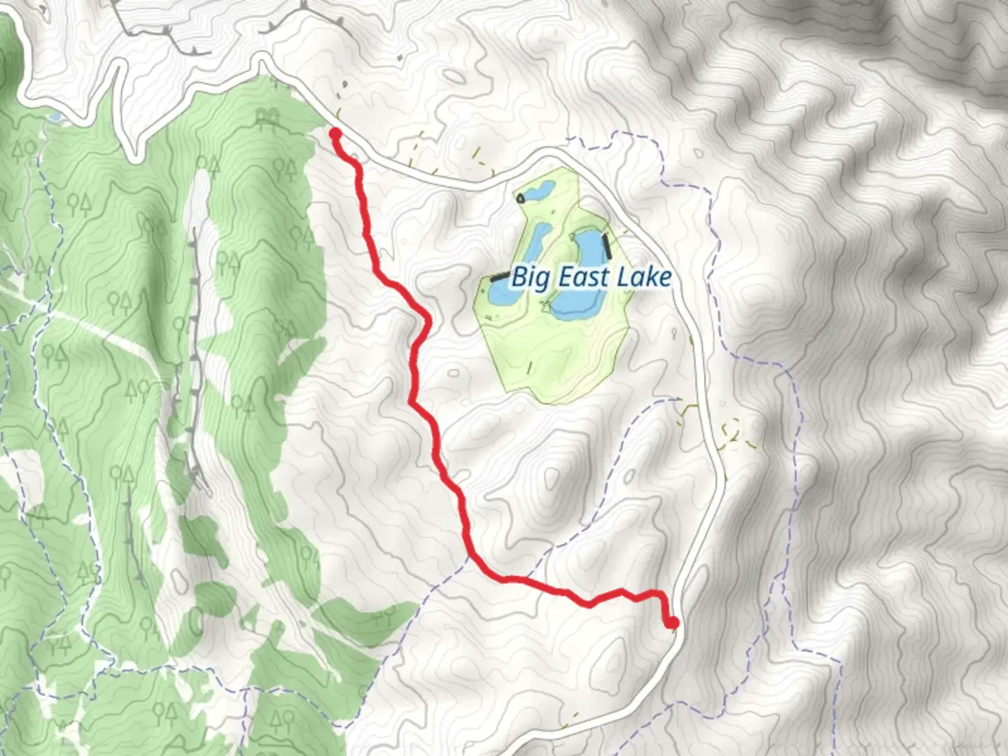
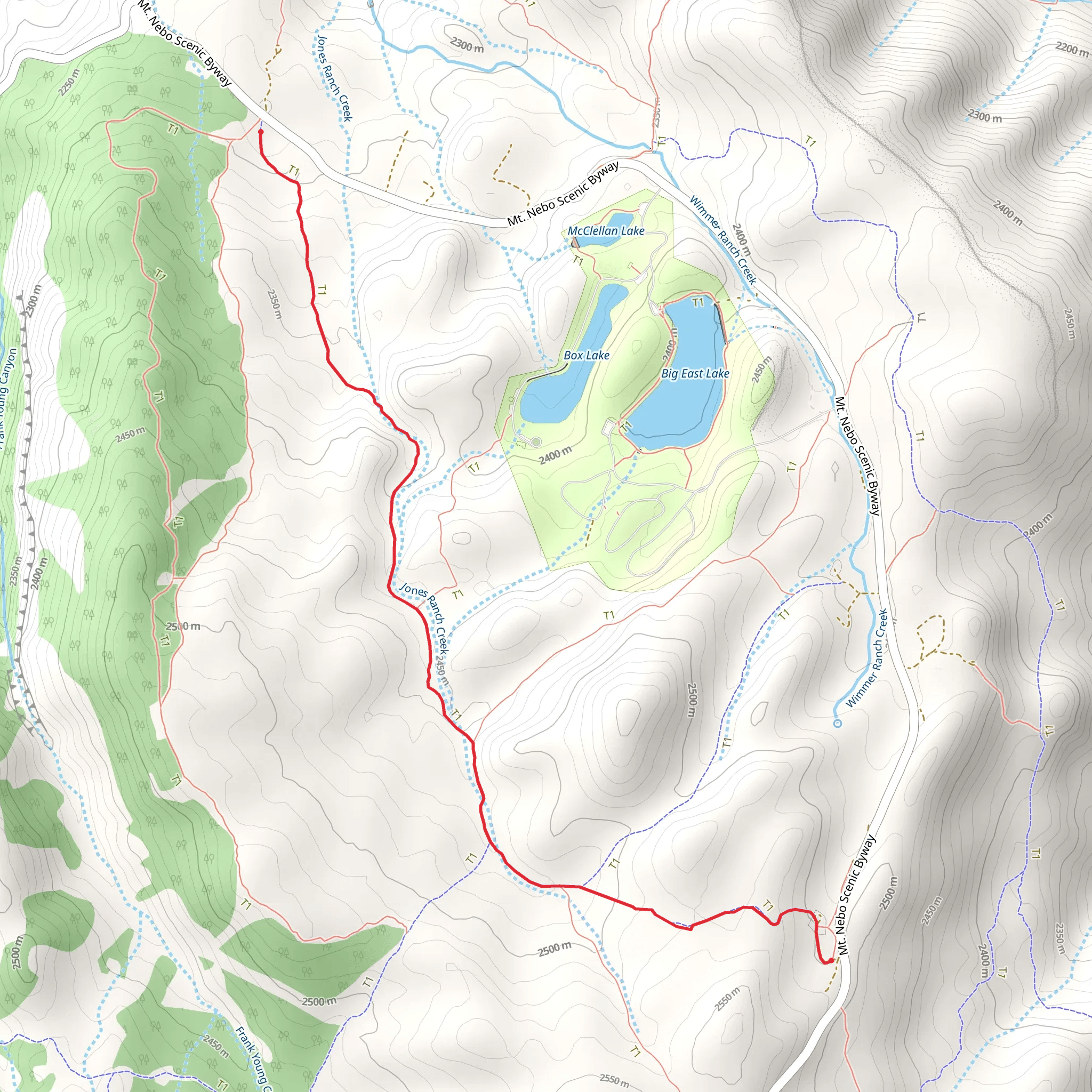
Starting near Utah County, Utah, the Jones Ranch Trail is a point-to-point hike that spans approximately 4 kilometers (2.5 miles) with an elevation gain of around 200 meters (656 feet). This trail is rated as medium difficulty, making it suitable for moderately experienced hikers.
Getting There To reach the trailhead, you can drive or use public transportation. If driving, head towards the nearest significant landmark, which is the Provo Canyon. From there, follow the signs to the trailhead. For those using public transport, the nearest bus stop is at the Provo Canyon, from where you can either hike a short distance or arrange for a local taxi to drop you off at the trailhead.
Trail Navigation For navigation, it is highly recommended to use HiiKER, which provides detailed maps and real-time updates. The trail is well-marked, but having a reliable navigation tool will ensure you stay on track.
Trail Features and Landmarks As you begin your hike, the initial section of the trail is relatively flat, allowing you to ease into the journey. About 1 kilometer (0.6 miles) in, you will start to notice a gradual incline. The trail meanders through a mix of dense forest and open meadows, offering a variety of scenery.
Flora and Fauna The Jones Ranch Trail is rich in biodiversity. Keep an eye out for native plants such as sagebrush and juniper trees. Wildlife is abundant; you might spot mule deer, wild turkeys, and various bird species. Always maintain a safe distance from wildlife and follow Leave No Trace principles.
Historical Significance The area around the Jones Ranch Trail has historical significance dating back to the early settlers of Utah. The trail itself was used by ranchers in the late 19th century to move livestock. Remnants of old ranching equipment and structures can still be seen along the trail, adding a historical layer to your hiking experience.
Elevation and Terrain As you progress, the trail becomes steeper, particularly around the 2.5-kilometer (1.5-mile) mark, where you will encounter a series of switchbacks. This section is the most challenging part of the hike, with an elevation gain of about 100 meters (328 feet) over a short distance. The terrain here is rocky, so sturdy hiking boots are recommended.
Scenic Views Upon reaching the higher elevations, you will be rewarded with stunning views of the surrounding valleys and mountains. The panoramic vistas are particularly breathtaking during sunrise and sunset, so plan your hike accordingly if you wish to capture these moments.
Final Stretch The last kilometer (0.6 miles) of the trail descends gradually, leading you to the endpoint. This section is less strenuous and allows you to cool down as you approach the end of your hike.
Safety Tips Always carry sufficient water, especially during the hotter months, as the trail can be quite exposed in certain sections. Weather can change rapidly, so pack layers and be prepared for sudden shifts in temperature.
Using HiiKER will help you stay informed about any trail conditions or closures. Enjoy your hike and take in the natural beauty and historical richness that the Jones Ranch Trail has to offer.
What to expect?
Activity types
Comments and Reviews
User comments, reviews and discussions about the Jones Ranch Trail, Utah.
4.36
average rating out of 5
11 rating(s)
