Download
Preview
Add to list
More
7.7 km
~1 hrs 44 min
115 m
Out and Back
“The Cedar Hills Parkway trail offers moderate hiking with scenic views, diverse wildlife, and historical insights.”
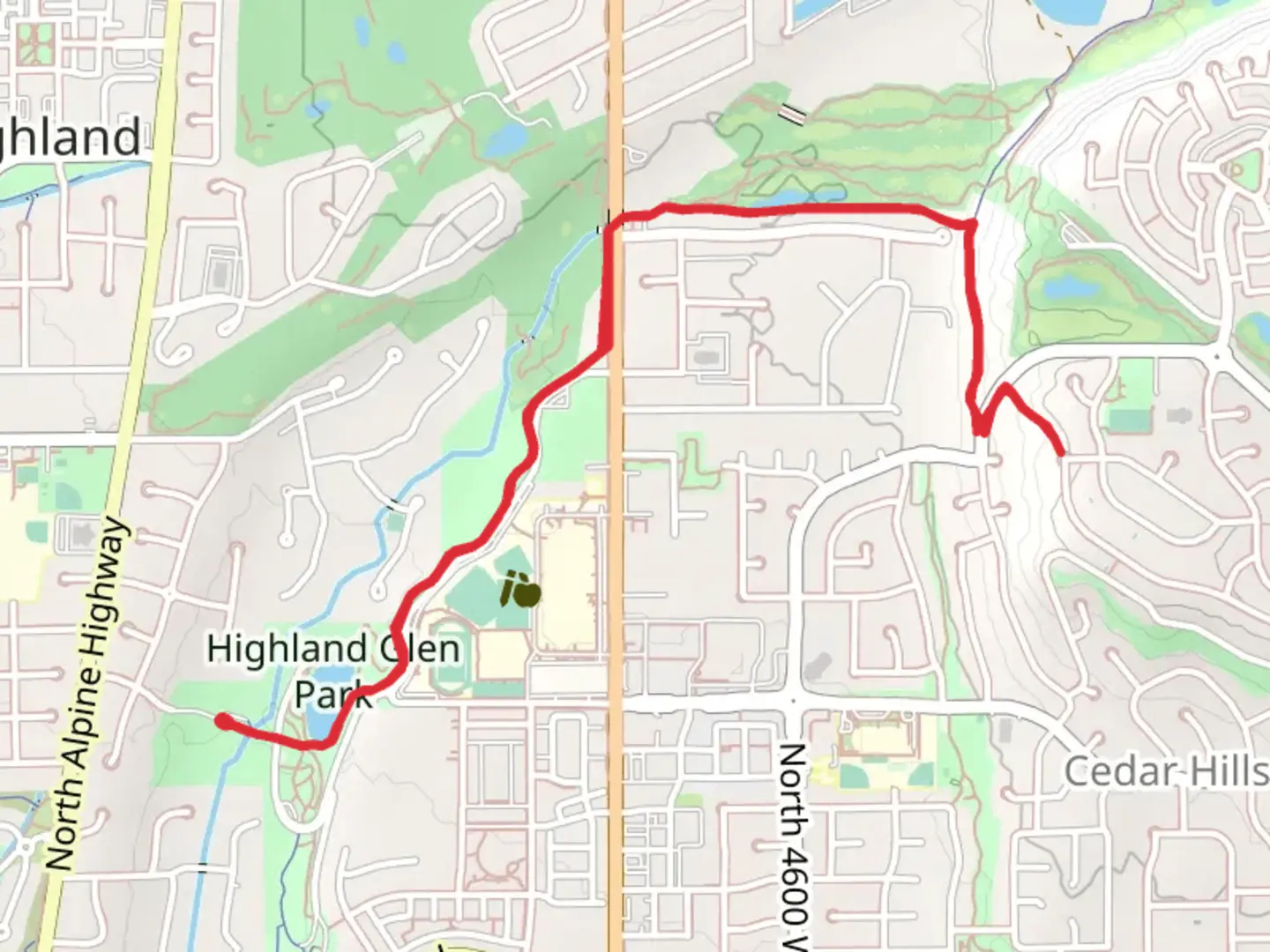
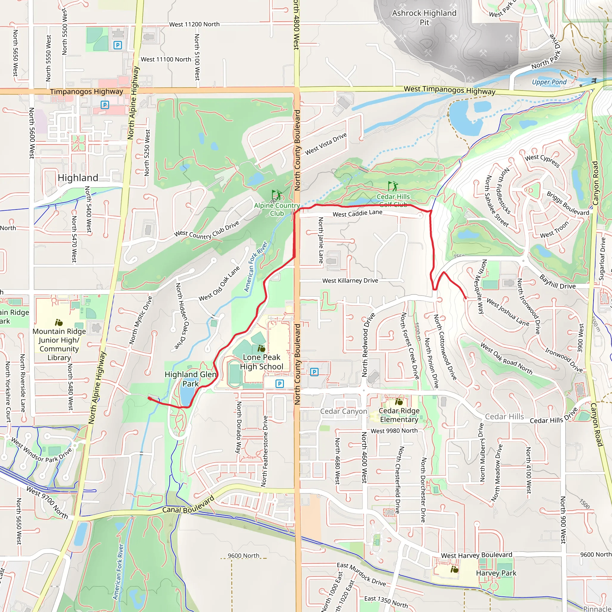
Starting near Utah County, Utah, the Cedar Hills Parkway trail is an 8 km (approximately 5 miles) out-and-back hike with an elevation gain of around 100 meters (328 feet). This trail is rated as medium difficulty, making it suitable for moderately experienced hikers.### Getting There To reach the trailhead, you can drive or use public transportation. If driving, head towards Cedar Hills, Utah, and look for parking near the Cedar Hills Golf Club. For those using public transport, the nearest bus stop is at the intersection of Cedar Hills Drive and Canyon Road. From there, it's a short walk to the trailhead.### Trail Overview The trail begins with a gentle ascent, offering a gradual introduction to the elevation gain. The first kilometer (0.6 miles) is relatively easy, with well-maintained paths and clear signage. As you progress, the trail becomes steeper, but the incline is manageable for most hikers.### Significant Landmarks and Nature Around the 2 km (1.2 miles) mark, you'll encounter a small creek that runs parallel to the trail. This is a great spot to take a short break and enjoy the sound of flowing water. The trail continues to wind through a mix of pine and deciduous trees, providing ample shade and a cool environment, especially during the warmer months.At approximately 3.5 km (2.2 miles), you'll reach a scenic overlook that offers panoramic views of the Utah Valley and the surrounding mountains. This is one of the highlights of the trail and a perfect spot for photos. The elevation gain to this point is about 70 meters (230 feet).### Wildlife and Flora The Cedar Hills Parkway trail is home to a variety of wildlife, including deer, rabbits, and numerous bird species. Keep an eye out for red-tailed hawks and other birds of prey that are often seen soaring above the valley. The flora is equally diverse, with wildflowers blooming in the spring and summer, adding vibrant colors to the landscape.### Historical Significance The region around Cedar Hills has a rich history, with Native American tribes originally inhabiting the area. The trail itself follows some of the old routes used by early settlers and pioneers. As you hike, you may come across informational plaques that provide insights into the historical significance of the region.### Navigation For navigation, it's highly recommended to use the HiiKER app, which provides detailed maps and real-time updates. This will help you stay on track and ensure you don't miss any of the key landmarks along the way.### Final Stretch The final stretch of the trail leads you to a serene meadow at the 4 km (2.5 miles) mark, which serves as the turnaround point. This area is perfect for a picnic or simply to rest before heading back. The return journey follows the same path, allowing you to enjoy the scenery from a different perspective.Overall, the Cedar Hills Parkway trail offers a balanced mix of natural beauty, moderate physical challenge, and historical context, making it a rewarding experience for hikers.
What to expect?
Activity types
Comments and Reviews
User comments, reviews and discussions about the Cedar Hills Parkway, Utah.
4.47
average rating out of 5
17 rating(s)
