Download
Preview
Add to list
More
Trail length
24.4 km
Time
~1 day 1 hrs
Elevation Gain
1008 m
Hike Type
Out and Back
“The Bonneville Shoreline Trail offers stunning views and a moderately challenging hike through Utah's ancient lakebed.”
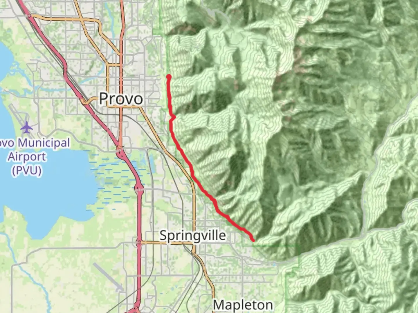
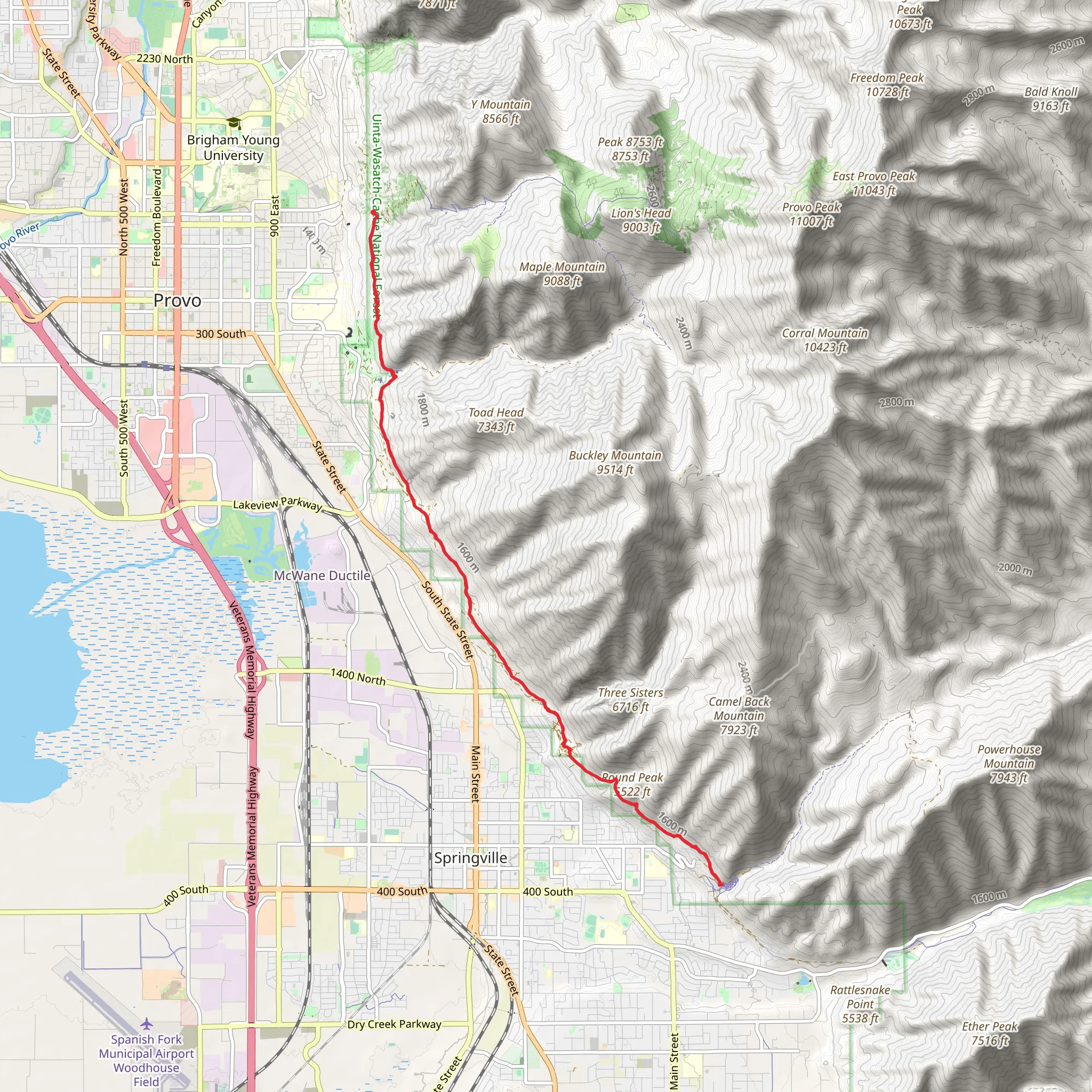
Starting near Utah County, Utah, the Bonneville Shoreline Trail stretches approximately 24 kilometers (about 15 miles) with an elevation gain of around 1000 meters (3280 feet). This out-and-back trail is rated as medium difficulty, making it suitable for moderately experienced hikers.
Getting There To reach the trailhead, you can drive or use public transportation. If driving, head towards the nearest significant landmark, the Orem Cemetery, located at 1520 N 800 E, Orem, UT 84097. From there, it's a short drive to the trailhead. For those using public transport, the Utah Transit Authority (UTA) offers bus services that can get you close to the starting point. Check the UTA website for the latest routes and schedules.
Trail Overview The Bonneville Shoreline Trail offers a unique hiking experience, tracing the ancient shoreline of Lake Bonneville, a prehistoric lake that once covered much of Utah. The trail provides stunning views of the Wasatch Front and the Utah Valley, making it a visual treat for nature enthusiasts.
Key Landmarks and Sections - **Mile 1-3 (1.6-4.8 km):** The initial section of the trail is relatively gentle, with a gradual ascent. You'll pass through scrub oak and sagebrush, typical of the region's foothills. Keep an eye out for mule deer and various bird species, including hawks and eagles. - **Mile 4-6 (6.4-9.6 km):** As you progress, the trail becomes steeper, gaining significant elevation. This section offers panoramic views of the valley below and the distant Great Salt Lake. The terrain here is rocky, so sturdy hiking boots are recommended. - **Mile 7-9 (11.2-14.4 km):** This middle section is the most challenging, with the steepest inclines and rugged terrain. However, the effort is rewarded with breathtaking vistas and the chance to see unique geological formations, remnants of the ancient lakebed. - **Mile 10-12 (16-19.2 km):** The final stretch before turning back is less strenuous, with a mix of ascents and descents. This area is rich in wildflowers during the spring and early summer, adding a splash of color to your hike.
Historical Significance The Bonneville Shoreline Trail follows the ancient shoreline of Lake Bonneville, which existed during the last Ice Age, approximately 14,500 years ago. The lake was significantly larger than the Great Salt Lake we see today, covering much of western Utah. The trail's route offers a glimpse into the region's geological past, with visible terraces and sediment layers that tell the story of this prehistoric lake.
Wildlife and Flora The trail is home to a variety of wildlife, including mule deer, coyotes, and numerous bird species. In the spring and summer, the area is abundant with wildflowers such as Indian paintbrush, lupine, and sego lilies, Utah's state flower. The diverse flora and fauna make this trail a haven for nature lovers and photographers alike.
Navigation and Safety Given the trail's length and elevation gain, it's crucial to be well-prepared. Use the HiiKER app for accurate navigation and real-time updates on trail conditions. Carry sufficient water, snacks, and a first-aid kit. Weather can change rapidly in this region, so pack layers and be prepared for sudden shifts in temperature.
Final Tips Start early to avoid the midday heat, especially during the summer months. The trail can be quite exposed, so sunscreen and a hat are essential. Always let someone know your hiking plans and estimated return time. Enjoy the hike and take in the rich history and natural beauty that the Bonneville Shoreline Trail has to offer.
What to expect?
dog-friendly
scenic-views
Activity types
hiking
mountain-biking
trail-running
walking
Comments and Reviews
User comments, reviews and discussions about the Bonneville Shoreline Trail, Utah.
4.53
average rating out of 5
19 rating(s)
