Download
Preview
Add to list
More
18.1 km
~1 day 0 hrs
1392 m
Loop
“Embark on the Big Springs Hollow and Shingle Mill Loop for diverse landscapes and rich historical intrigue.”
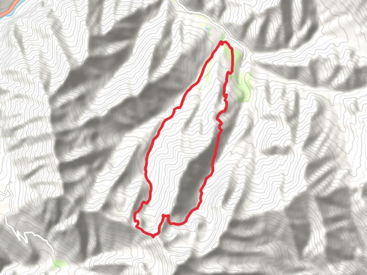
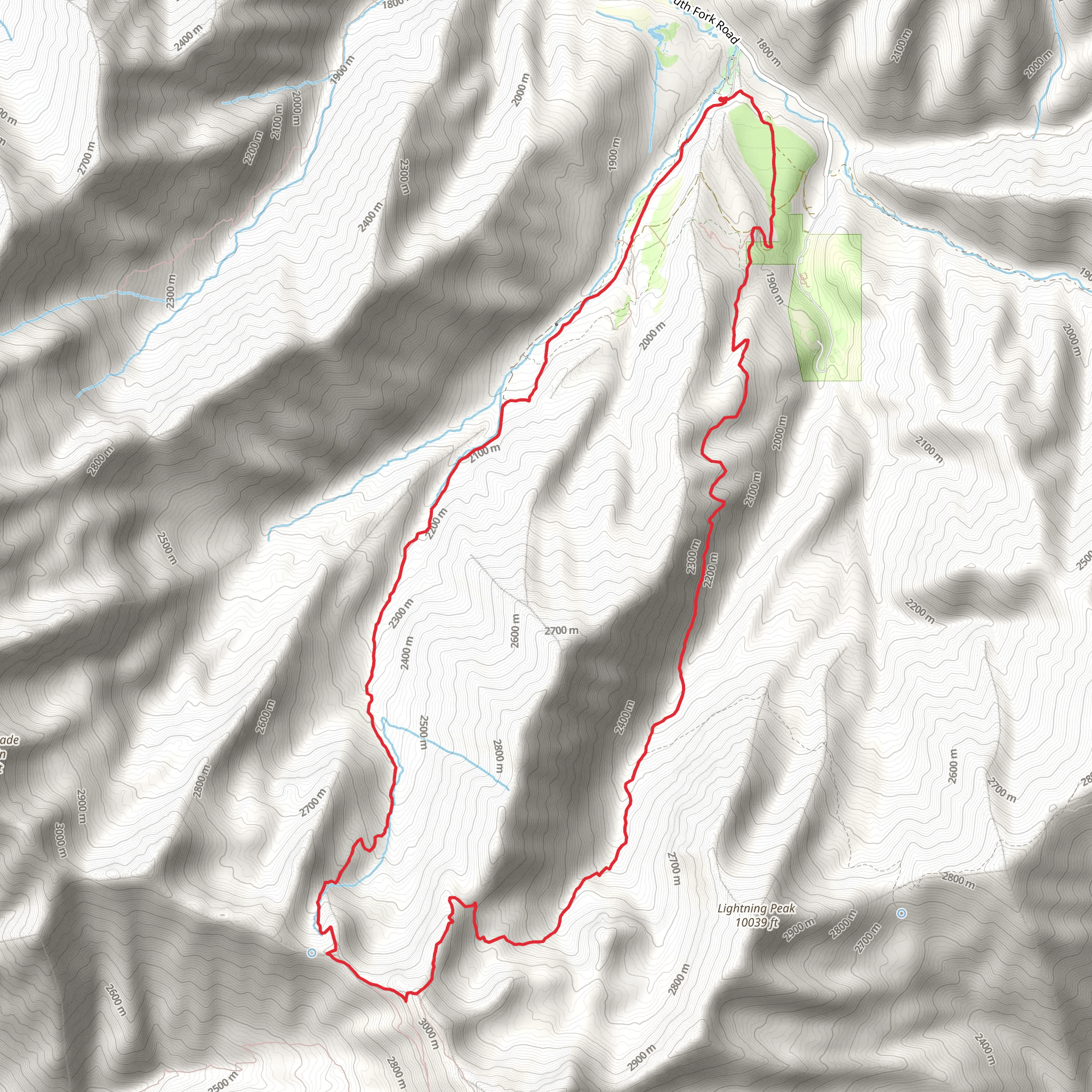
Starting your adventure near Utah County, Utah, the Big Springs Hollow and Shingle Mill Loop Trail offers a captivating journey through diverse landscapes. This 18 km (approximately 11 miles) loop trail begins at the trailhead located near the Big Springs Park, a well-known local landmark. The trailhead is accessible by car, with ample parking available at the park. For those relying on public transport, the nearest bus stop is at the intersection of Provo Canyon Road and South Fork Road, from where you can either hike or arrange a short taxi ride to the trailhead.
Trail Overview
The trail starts with a gentle ascent through a lush forested area, offering a serene environment filled with the sounds of nature. As you progress, the elevation gain becomes more noticeable, with a total climb of around 1300 meters (4265 feet). The initial 3 km (1.9 miles) of the trail are relatively easy, making it a good warm-up before the more challenging sections.
Significant Landmarks and Nature
Around the 4 km (2.5 miles) mark, you'll encounter Big Springs, a picturesque spot where crystal-clear water flows from the ground, creating a tranquil setting perfect for a short rest. This area is rich in flora, with wildflowers blooming in the spring and summer months, and a variety of trees providing ample shade.
Continuing on, the trail becomes steeper as you approach the Shingle Mill area. This section, roughly between the 6 km (3.7 miles) and 9 km (5.6 miles) marks, offers some of the most breathtaking views of the surrounding mountains and valleys. Keep an eye out for wildlife; deer and various bird species are commonly spotted here.
Historical Significance
The Shingle Mill area holds historical significance, as it was once a bustling site for logging and shingle production in the late 19th and early 20th centuries. Remnants of the old mill can still be seen, providing a glimpse into the region's past industrial activities. This historical context adds an enriching layer to your hiking experience.
Navigation and Safety
Navigating the Big Springs Hollow and Shingle Mill Loop Trail is straightforward, but it's always wise to have a reliable navigation tool. The HiiKER app is highly recommended for its detailed maps and real-time updates. The trail is well-marked, but weather conditions can change rapidly, especially at higher elevations, so be prepared with appropriate gear.
Final Stretch
The final 5 km (3.1 miles) of the trail descend back towards the trailhead, offering a mix of open meadows and forested paths. This section is less strenuous, allowing you to enjoy the scenery and reflect on the journey. As you near the end, you'll pass through areas rich in birdlife, making it a delightful experience for birdwatchers.
Getting Back
Upon completing the loop, you'll find yourself back at Big Springs Park, where you can relax and enjoy the amenities available. If you arrived by public transport, the same bus stop at Provo Canyon Road and South Fork Road will be your return point.
This trail offers a balanced mix of natural beauty, historical intrigue, and physical challenge, making it a rewarding experience for medium-level hikers.
What to expect?
Activity types
Comments and Reviews
User comments, reviews and discussions about the Big Springs Hollow and Shingle Mill Loop Trail, Utah.
4.45
average rating out of 5
20 rating(s)
